

Quivira, run by the U.S. Fish and Wildlife Service, adds a second Central Flyway stopover, with hunting allowed on about 8,000 of its 22,135 acres.
Both places have limits that determine where you can legally set up. Cheyenne Bottoms requires an online check-in before every hunt, and Pools 1 and 5 and part of Pool 2 stay closed to all activity. Quivira allows hunting only inside posted public hunting areas.
HuntWise shows where public ground starts and stops before you drive out. Our public land layer outlines wildlife areas and refuges on satellite imagery, so you can pin your access point and blind site ahead of time. Outside Kansas, the same approach to finding public hunting land still applies, and this guide covers the steps, key areas, and closures that catch hunters off guard.
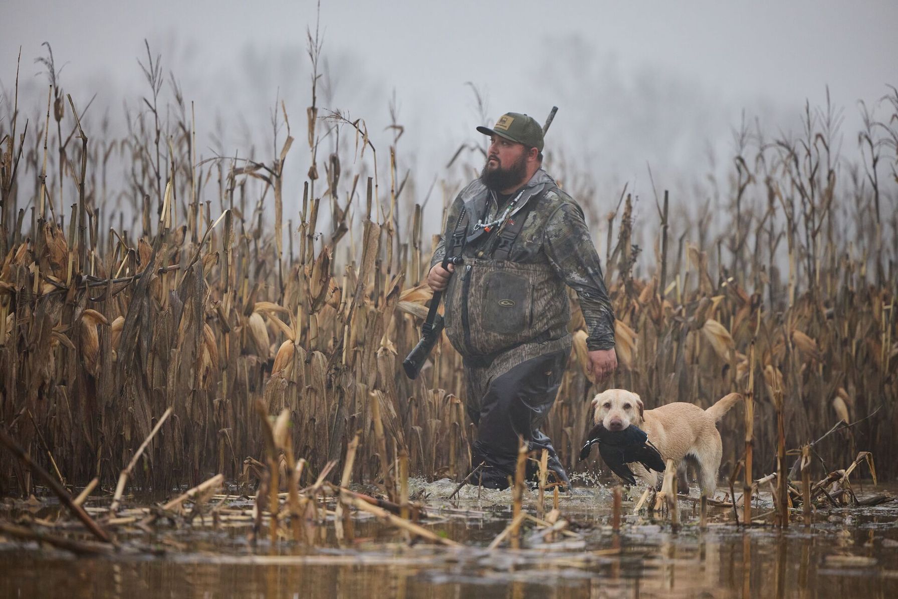
How to Find Public Waterfowl Hunting Land in Kansas: Five Steps
Kansas marsh hunting depends on water levels, daily check-ins, and closures that can change fast. Work through these steps before you load the truck.
- Switch on the public land layer in HuntWise. Open HuntWise mapping tools, turn on the public land layer, and zoom to Barton County for Cheyenne Bottoms or Stafford County for Quivira. Each area's outline appears over satellite imagery, so you can see the dikes, pools, and roads around it.
- Decide between a state area and a federal refuge. KDWP runs Cheyenne Bottoms, Jamestown, and Marais des Cygnes, while the U.S. Fish and Wildlife Service runs Quivira and Flint Hills. The two agencies set different rules, and the Quivira hunting rules limit you to posted public hunting areas.
- Gather your licenses and stamps. Waterfowl hunters in KDWP areas need a Kansas hunting license, a state waterfowl stamp, a Federal Duck Stamp, and Harvest Information Program (HIP) certification.
- Match your dates to the season and zone. Kansas splits duck seasons into the High Plains Unit and three Low Plains zones, so confirm where your area falls before you pick a weekend. The KDWP waterfowl season dates list the teal, youth, and regular duck segments for each zone.
- Check in and confirm the closures. At Cheyenne Bottoms, log your hunt through KDWP's online check-in page or the GoOutdoorsKS app before you enter, and finish it before you drive out. Whooping crane activity can close a pool, or all of Quivira, with little notice, so look for updates the night before.
KDWP's Cheyenne Bottoms hunting information covers the special regulations, boat rules, and a phone number, (620) 793-3066, for area questions.
What You Need Before You Hunt Kansas Wetlands
Duck and goose numbers at the Bottoms shift with the weather and water, so plan around timing a waterfowl hunt instead of a fixed weekend. Pool rules differ across the area, and most hunters bring the same core gear:
- A boat that fits the pool rules, since airboats are never allowed and all boats run at no-wake speed
- Waders and sturdy boots for the foot crossings and deep ditches between pools
- Nontoxic shot, which Kansas requires for all waterfowl hunting
- Portable blinds and decoys that you can remove each day, as Quivira requires
- A downloaded HuntWise map with pins on your access point and blind site
Weekends bring heavy hunting pressure on the Bottoms, so a midweek trip often means more elbow room. Walk your route on the map before dawn, and keep your phone charged for check-in.
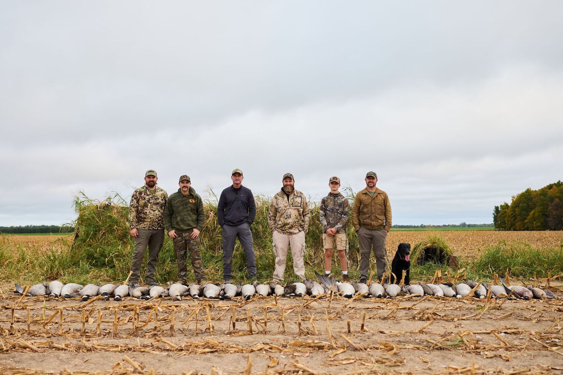
Waterfowl Hunting Areas in Kansas
Five public areas, split between KDWP and the U.S. Fish and Wildlife Service, give you a solid starting list. Rules differ between state wildlife areas and federal refuges, so review WMA hunting basics before you pick a unit.
Kansas Waterfowl Hunting Areas | |
|---|---|
| Area Name | Rules |
| Cheyenne Bottoms Wildlife Area (near Great Bend) | KDWP manages 19,857 acres inside the 41,000-acre basin. Hunters check in online or through the GoOutdoorsKS app before every hunt. Pools 1 and 5 and part of Pool 2 are closed to hunting. |
| Quivira National Wildlife Refuge (near Stafford) | Hunting is allowed on about 8,000 of 22,135 acres, only in posted public hunting areas. Hunting areas are open from September 1 through February during state seasons, and the refuge can close to hunting without notice when whooping cranes pass through. |
| Jamestown Wildlife Area (near Jamestown) | More than 1,900 acres of wetlands sit inside the public hunting ground. Hunters check in and out electronically, and an 800-acre refuge closes from October 1 through March 1, except for special hunts. |
| Marais des Cygnes Wildlife Area (near Pleasanton) | The 7,654 acres include managed wetlands and bottomland hardwood forest. Hunters check in before the hunt and check out afterward. Outboard motors are prohibited at some boat ramps. |
| Flint Hills National Wildlife Refuge (near Hartford) | The 18,500-acre refuge sits on the upper end of John Redmond Reservoir. State regulations allow waterfowl hunting south of the Neosho River, and a refuge map shows which areas are open. |
How a Hunting App Helps You Avoid Closed Water
Closed water is the main trap in Kansas because a hunter can follow a dike from a legal pool into a refuge without seeing a sign. HuntWise's public land layer outlines each wildlife area and refuge, so you can orient yourself and then confirm pool closures on KDWP's area map.
The Nature Conservancy's preserve sits right beside Cheyenne Bottoms Wildlife Area, and checking property lines keeps you from walking onto ground where hunting is prohibited. Download your hunt area before you leave town so the map still loads once you're out on the dikes.
Finding Public Waterfowl Hunting Land in Kansas Gets Easier with HuntWise
Public waterfowl hunting land in Kansas comes with more rules than many hunters expect: daily check-ins at the state areas, closed pools, and refuge shutdowns when whooping cranes pass through. Pick your area, gather your stamps, confirm your zone's season, and learn the closures for the water you plan to hunt.
HuntWise gives you the outline of each area before you leave home, so you can arrive knowing where public ground ends.
Frequently Asked Questions (FAQs)
Q: What is the best public waterfowl hunting land in Kansas?
A: Public waterfowl hunting land in Kansas centers on Cheyenne Bottoms Wildlife Area and Quivira National Wildlife Refuge. The right pick depends on your boat, your timing, and how much you scout. Jamestown, Marais des Cygnes, and Flint Hills give you options away from central Kansas.
Q: How big is Cheyenne Bottoms Wildlife Area?
A: Cheyenne Bottoms Wildlife Area covers 19,857 acres managed by KDWP, inside a wetland basin of about 41,000 acres. Not every acre is open to hunting, because refuge pools stay closed to all activity.
Q: Do I need to check in before hunting Cheyenne Bottoms?
A: Yes, you must check in before hunting Cheyenne Bottoms, using KDWP's online check-in page or the GoOutdoorsKS app with your license login. KDWP requires it before you hunt any species there, so make it part of your morning routine.
Q: Are any pools at Cheyenne Bottoms closed to hunting?
A: Yes, several pools at Cheyenne Bottoms are closed to hunting. Pools 1 and 5, and part of Pool 2, are refuge areas closed to all activity, with limited exceptions for special hunts. A pool can also close when whooping cranes are present.
Q: Is Quivira National Wildlife Refuge open to public hunting?
A: Quivira National Wildlife Refuge is open to public waterfowl hunting, but only inside posted public hunting areas that cover about 8,000 of its 22,135 acres. The refuge closes to all hunting when whooping cranes pass through, so check for updates before you go.
Q: Can HuntWise show me Cheyenne Bottoms pool boundaries?
A: HuntWise can show Cheyenne Bottoms Wildlife Area boundaries through its public land layer, which outlines the area on satellite imagery. For pool-by-pool closures, confirm the details with KDWP's area map, since closures can change during the season.
Q: Is the Nature Conservancy preserve at Cheyenne Bottoms open to hunting?
A: No, the Nature Conservancy preserve at Cheyenne Bottoms is closed to hunting. The Conservancy prohibits hunting and fishing on its property, even though both are allowed on the adjoining KDWP wildlife area.
Q: How do I download Kansas waterfowl area boundaries for offline use?
A: To download Kansas waterfowl area boundaries for offline use, start a hunt area in HuntWise that covers the wildlife area or refuge, then save it while you're on Wi-Fi. The saved map keeps your pins and boundaries on screen when the signal drops in the field.


