

You can find property lines for hunting from three primary sources:
- Free through county GIS parcel viewers
- Free through federal data via USDA Web Soil Survey
- Free or paid through hunting apps like HuntWise that overlay cadastral data on satellite imagery
In this guide, we break down all three strategies for finding property lines before you hunt, plus in-field navigation, state legal variations, and what to do when boundaries are unclear.
Why Property Lines For Hunting Matter for Hunters
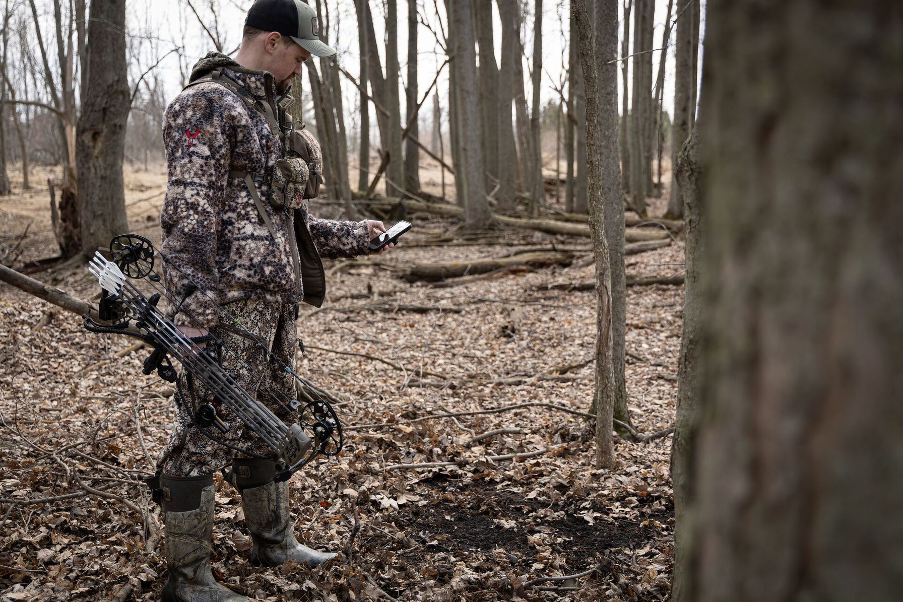
Property lines demarcate the legal boundaries of where hunting is permitted and where it isn't, such as where a public hunting area meets private land. Crossing these lines, even unintentionally, can lead to a state trespassing citation or the loss of hunting privileges. Not to mention, it's just good hunting ethics to ensure you're legally permitted to hunt in your intended zone.
Things get trickier in the rural areas, as these boundaries are often unmarked, unfenced, or signposted with deteriorating markers. Rough terrain or zones with steep inclination are often left without fencing. Land is also constantly bought and sold, so these boundaries can change. Relying on visual cues isn't reliable or generally advisable.
Knowing boundaries is part of being an ethical hunter. It protects your rights and landowner relationships, which can sometimes lead to future permission, and supports a positive public perception of hunters in your state.
We’re going to take a closer look at how you can access accurate and legal property lines for hunting before and during your hunt, and some steps to take if you’re unclear on which side of the fence it falls.
How to Find Property Lines Before You Hunt
Establishing property lines before heading out into the field is an essential step in any pre-hunt strategy. Not only can it help ensure you’re fulfilling legal obligations, but it can also help you prepare an ambush or hunting approach at these boundaries, where deer and other game species are often encountered. Explore the three major ways to find property lines below.
- County GIS parcel viewers: The Geographic Information System (GIS) is a free federal digitized map that overlays public and private land-use data with soil information. This tool is a useful reference for land ownership and type when scouting. With a county overview of state and federal land, it helps you find public hunting land near you.
- USDA Web Soil Survey: The USDA Web Soil Survey is another free federal tool that overlays public and private land-use data with soil information. It’s another strong option for cross-referencing land ownership and types before heading out into the field.
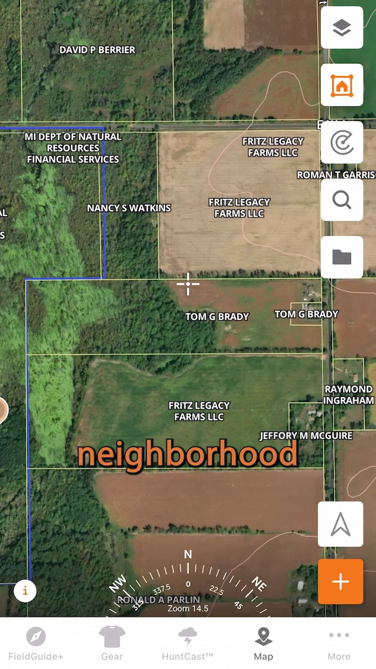
- HuntWise app: The HuntWise app overlays cadastral (ownership data) directly over satellite and topo maps inside the app. You’ll also have access to private landowner contact details. This feature is available with a Pro or Elite subscription and includes offline access for use without service.
Each option has its place in your pre-hunt property line research. While the federal options are free, they generally require more cross-referencing and may take a little longer to update. HuntWise consolidates the data into one map you can use in the field and view on different HuntWise mapping overlays. We recommend combining the two approaches.
Comparing Property Line Resources at a Glance
The table below compares the cost, landowner information, offline capability, and ideal use case of each option. Consider not only your pre-scouting but also what resources you’ll require while out in the field.
How to Find Property Lines: Hunter Resources | ||||
| Method | Cost | Landowner Info | Offline Access | Best For |
| County GIS Parcel Viewer | Free | Sometimes (varies by county) | No | Pre-season desktop research |
| USDA Web Soil Survey | Free | No (soil/land use data only) | No | Cross-referencing public/private land use |
| HuntWise Property Lines Layer | Paid (Pro/Elite) | Yes | Yes | In-field navigation and trespass avoidance |
Using multiple sources together can help you sketch a more reliable picture of property boundaries.
Seeing Property Lines in the Field
While GPS units are a great way to stay on the right side of property lines, accuracy can drift several yards depending on terrain, tree cover, and the device. Always consider boundaries shown on a phone screen as a guide, not a survey-grade marker.
Before the season starts, visit a known boundary that is correctly marked, like a fence line, surveyed corner marker, or official boundary post, and use that location to compare what you see with your GPS or mapping app. If it's still unclear, contact the landowner directly through the HuntWise app to confirm property boundaries and ask where hunting is permitted.
With HuntWise trespass alerts, you’ll have real-time alerts that provide a safeguard against trespassing as you pass through mixed public/private terrain. Plus, you can download offline maps, which is invaluable when hunting remote or backcountry areas where cell signals can be sketchy or flat-out non-existent.

How to Find Property Lines: Step-by-Step
Follow these six steps to move from desktop research to a confident, legal hunt.
- Start your pre-hunt research by identifying hunting parcels using GIS or HuntWise ownership and public land layers.
- Confirm the ownership status of your intended hunting parcels by cross-referencing with USDA Web Soil Survey maps with public and private overlays.
- Use your HuntWise map to identify and mark legal entry points, posted signs, and easements.
- Download offline maps onto your HuntWise app and enable the property lines layer before heading out into the field. Switch to airplane mode to double-check offline functionality.
- Calibrate in the field by walking a known boundary corner during the pre-season and establish GPS expectations.
To manage legality effectively, especially in areas that are mixed public and private or have complex easements, you'll need an app with property lines. If you've never used a hunting app, don't worry. With a quick beginner's guide to using hunting apps, you'll cover the basics and start scouting with confidence in no time.
Learn how to navigate property lines using HuntWise in the video below!
State Legal Variations Hunters Should Know
Property law boundary rules vary widely between states, and there may even be some regional differences at the county level. Some states require signage at set intervals with specific wording, while others may require "reasonable notice."
Understanding these differences and requirements is critical to protecting yourself from trespassing and other violations. For example, due to a late 2025 U.S. Supreme Court Decision, corner crossing in Wyoming, Colorado, Utah, Oklahoma, Kansas, and New Mexico is now legal, as the court declined to hear an appeal.
Corner crossing occurs when a public land user moves between checkerboarded public parcels without touching private land. The ruling was a big win for public-land hunters, but it’s a fast-moving area of law that remains unsettled at the federal level. While large areas of previously corner-locked land have now been opened up, hunters must be extra careful to ensure they don't trespass in these tight pockets.
As a general rule, we recommend checking with your relevant DNR/wildlife agency with any questions about land boundaries and access. Or, for anything, a licensed surveyor can provide insights.
What's the Difference: Property Line vs. Fence Line vs. Easement
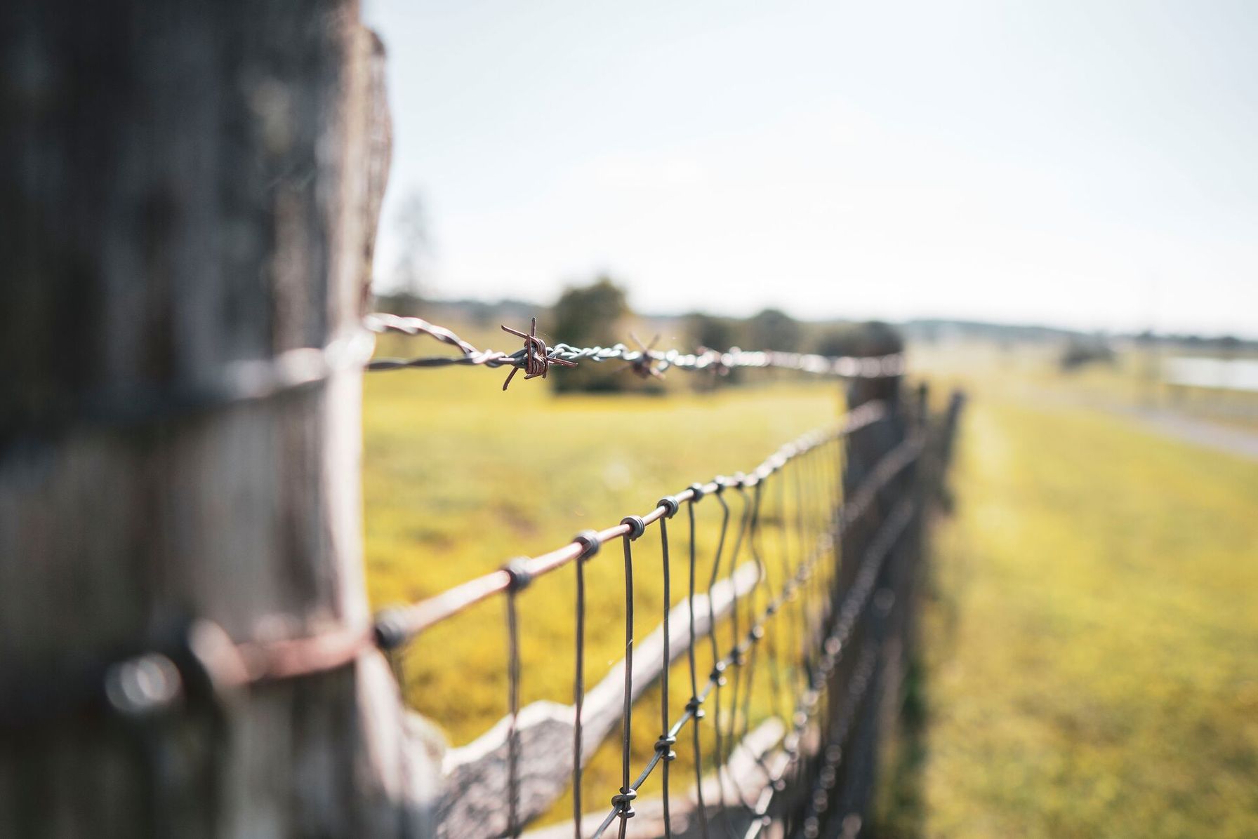
Property lines are the legal demarcation that shows the boundary of a land parcel. Fence lines don't always match the legal property lines and may sit feet or even yards inside the boundary. This could be due to local or municipal laws or regulations that may prevent fencing in certain areas, such as for drainage or special-use permits.
Easements are a non-possessory interest in land that permits some rights of use and access to the land. For example, a shared driveway or a utility corridor. In this instance, ownership is non-transferable.
Even if you believe you're on the right side of the fence, you may still be inadvertently hunting private land. Many hunters have their own rules about hunting fencelines and may leave a 50-yard buffer to avoid accidental trespassing. Visual markers such as fences, tree lines, and old signage are not reliable substitutes for verified boundary data.
What to Do When Boundaries Are Unclear
If you’re still unsure about the boundary rights, there are a few steps you can take. You can contact the county assessor's office for the official parcel record. Otherwise, it never hurts to contact the landowner directly or hire a licensed surveyor for a definitive boundary determination.
Keep in mind that hunting apps such as HuntWise and free county GIS parcel viewers are valuable planning tools, but they are not legal documents. Always defer to official survey records and property owner information when there is any doubt about a boundary.
Common Property Line Mistakes to Avoid
Hunters should also be aware of some common mistakes that can lead you into an area where you aren’t allowed to hunt.
- Never assume that a fence or tree line marks the legal boundary.
- Always confirm with verified state records to ensure legal compliance.
- Because boundaries can change, access the most up-to-date records and app data, and cross-check county records to avoid getting caught out.
- While pre-hunting research is invaluable, you’ll also want to stay on top of boundaries while out in the field.
- Not downloading offline maps can put you at risk of crossing boundaries, especially in low-signal areas.
Always start with the pre-season boundary walk-through to calibrate your hunting zone. By following these tips, you’ll enjoy better hunts on public land while respecting private property rights.
Stay Legal and Confident with HuntWise's Property Line Tools
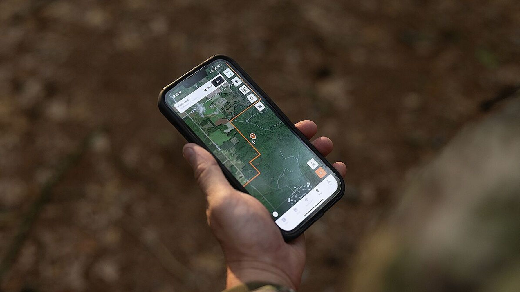
Mastering property boundaries is essential for safe, ethical, and legal hunting. To accurately identify property lines, use a three-step approach that combines county GIS maps, the USDA Web Soil Survey, and HuntWise's in-field Property Lines layer.
As a hunter, it's your responsibility to ensure safe and legal hunting, especially near private and off-limits hunting zones. To plan your next hunt with legal boundary insights and up-to-date data, including landowner contact details, download HuntWise and start a free trial to test the Property Lines layer before heading out into the field.
With the right preparation and reliable mapping tools, you can confidently navigate property boundaries and focus on the hunt itself without worrying about trespass.
Frequently Asked Questions (FAQs)
Q: What is a property line, and why does it matter for hunting?
A: A property line is the legal boundary between two parcels of land. Knowing where that boundary falls helps you determine whether you’re hunting on public or private land and whether you have permission to be there. Property lines can be unmarked in rural areas, so don’t assume a fence, tree line, or other visible feature marks the legal boundary.
Q: How do I find property lines for a specific state?
A: Start with the county assessor or county GIS parcel viewer for the area you plan to hunt. You can also cross-reference state wildlife or land-management agency maps and hunting apps that display parcel data. The exact resources vary by state and county. If the boundary is disputed or especially important, consult the official parcel records or a licensed surveyor rather than relying solely on a map. GIS maps are generally reference tools, not legal surveys.
Q: Are property lines on hunting apps legally binding?
A: No. Property lines displayed in hunting apps are useful for navigation and planning, but they should not be treated as a legal survey or definitive proof of a boundary. USGS similarly notes that GIS-based boundary representations are not legally authoritative. If you’re unsure where a boundary falls, check official property records or contact the landowner or a licensed surveyor.
Q: Do property lines change?
A: Yes, property linse can change. Land may be bought, sold, subdivided, or otherwise legally altered, so parcel information can become outdated. That’s why it’s important to check current records rather than relying on an old map or a physical marker you assume is still accurate.
Q: What's the difference between a property line, a fence line, and an easement?
A: A property line is the legal boundary of a parcel. A fence line is simply where a fence was built and may not correspond exactly with that legal boundary. An easement gives someone specific rights to use or access part of another person's property, such as for a driveway or utility corridor, without transferring ownership.
Q: How accurate is HuntWise's property line data compared to surveyed boundaries?
A: HuntWise property lines are intended as a mapping and navigation reference, not a substitute for a professional survey. GPS positions can also drift by several yards because of terrain, tree cover, and device limitations. For that reason, treat the Property Lines layer as a guide and use official records or a licensed surveyor when you need a definitive boundary.
Q: What is corner crossing, and is it legal?
A: Corner crossing is moving from one piece of public land to another at the point where their corners meet, typically in a checkerboard pattern, without crossing onto the private land between them. The law is state- and situation-specific. Because corner-crossing law can involve both federal and state property laws, hunters should verify the current rules with the relevant state wildlife or land-management agency before relying on it for access.


