

You’d be hard-pressed to find a hunter who didn’t head out into the field without their mobile phone these days. A modern hunting app is more than just a replacement for a paper map or handheld GPS.
With the right features, even a beginner or new user can identify less-pressured hunting zones, distinguish between public and private hunting land, and navigate unfamiliar terrain without getting lost.
This blog breaks down how to use a hunting app, why hunting apps like HuntWise are essential for a first-time hunt, and how even a beginner hunter can unlock its powerful features to level up.
What Is a Hunting App?
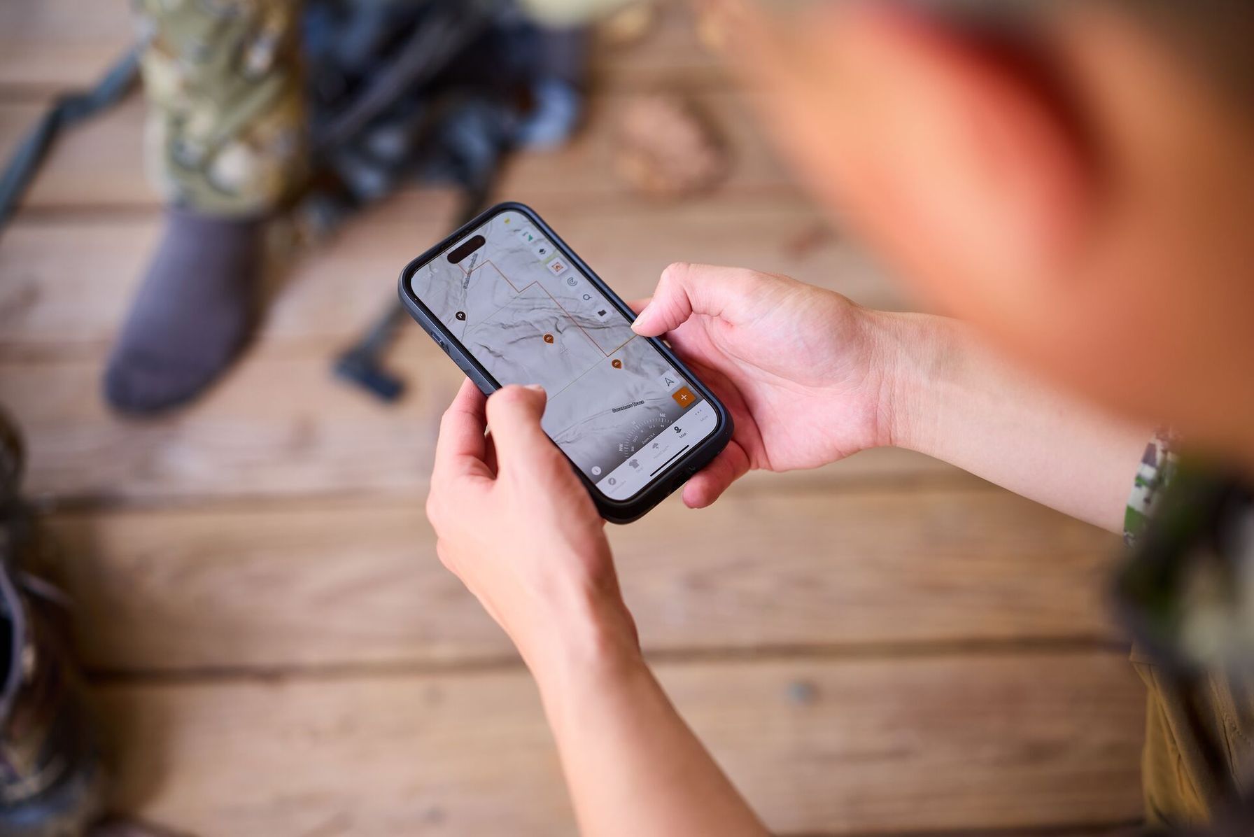
A hunting app is a smartphone application designed specifically for hunters. Unlike general-purpose tools such as GPS navigation apps (Google) or weather forecasters, hunting app features combine several hunt-specific tools on a single platform, including GPS mapping, land ownership data, weather and wind forecasts, and game activity predictions.
Most modern hunting apps often offer a free tier plus paid upgrades, so you can get an idea of what the app can do for you and how impactful it will be on your hunting plans.
Some apps, like HuntWise, take it a step further. It combines mapping (over 650 layers) with the power of HuntCast, an animal movement forecast, WindCast for wind tracking by stand, offline map access, and more in one app.
Core Features Every Hunting App Should Have
As a beginner hunter, consider a hunting app that can help you map different types of terrain, understand property boundaries between private and public land, and access essential weather and wind insights.
In the early stages, your focus should be on safety, legality, and the basics of planning a successful hunt. Explore HuntWise’s hunting app features below to see how they align with your initial hunting needs.
Hunting App Core Features | ||
|---|---|---|
| Feature | What it Does | Why Beginner Hunters Need It |
| GPS maps with layers (Topo, Satellite, Hybrid) | Displays detailed topographic, satellite, and hybrid map views of any hunting area so you can see terrain, vegetation, and elevation changes. | Study unfamiliar terrain from home before ever setting foot in the field, so nothing about the landscape is a surprise on opening day. |
| Public land boundaries (Access) | Overlays national forests, state lands, WMAs, and BLM parcels directly on the map so you can see exactly where you can legally hunt. | Hunting on private land without permission is trespassing. Clear boundaries help hunters stay legal and identify accessible options without needing to call a state agency. |
| Private land/ownership data (Access) | Shows landowner names, parcel boundaries, and contact details for private property surrounding your hunting area. | Knowing who owns adjacent parcels makes it easier to ask for permission and to recognize immediately when you've crossed a line. |
| Waypoint marking/Pins (Navigation) | Lets you drop custom pins on the map to mark stands, trail cameras, glassing points, water sources, and camp locations. | New hunters often struggle to find spots they've scouted once they're in thick cover. Saved waypoints (pins) eliminate guesswork and help build a record of productive locations over time. |
| Offline maps (Navigation) | Downloads maps to your phone so GPS and all your saved pins work without a cell signal. | Good hunting land often has no cell service. Offline maps mean you can navigate confidently in remote areas and always find your way back to camp or your vehicle. |
| Wind and weather forecasting (WindCast) | Provides real-time and forecast wind direction, wind speed, temperature, barometric pressure, and precipitation for your specific hunting location. | Wind direction determines whether deer smell you before you ever see them. Beginners who learn to hunt the wind early develop one of the most valuable habits in the sport. |
| Animal movement prediction (HuntCast) | Uses weather variables and historical patterns to forecast peak animal activity by species, down to the hour. | Sitting in the woods at the wrong time is one of the most common beginner hunter mistakes. Movement forecasts help new hunters plan sits around actual activity windows rather than guessing. |
| Regulations and license info (Compliance) | Links to state-specific season dates, bag limits, legal methods of take, and licensing requirements without requiring you to dig through agency websites. | Regulations vary by state, unit, and season type. Having this information accessible in the same app reduces the risk of an unintentional violation for hunters who are still learning the rules. |
How to Use a Hunting App Before the Season (E-Scouting for Beginners)
Hunting apps are more than just an in-field tool. They can completely change the way that you scout and prepare for your hunt. Follow the steps below for the ultimate e-scouting for beginners strategy to ensure your hunt is legal and effective.
Step 1: Pick Your Unit or Hunting Area
Before planning your hunt, you'll need to know where you're legally allowed to hunt. Different states have different approaches to managing and dividing their hunting land. Some offer extensive public land opportunities, while others require a permit or tag for a specific unit or zone.
To start, use the app's map to identify your state's hunting units or zones. Next, toggle public land layers to see where you’re legally allowed to hunt without permission.

Check permit or tag requirements and private land overlays, as public and private land boundaries often intersect or crisscross, so avoid trespassing.
Once you've determined your general hunting area, mark access roads and the distance from trailheads to help plan your hunting approach and scouting.
Step 2: Read the Terrain
Next, it's time to switch between the different topo layers, including aerial and 3D, to study the intended terrain, such as ridgelines, drainages, benches, and saddles. During this time, it may also be useful to mark access and camping areas if you’re planning to pack out.
If you’re planning a deer hunt, identify north-facing slopes as high-potential bedding areas and south-facing slopes as feeding zones. Mark some ridges as potential glassing zones, so you have a starting point for your hunt and know where you're heading.
Then, mark promising areas with waypoints before zooming in further to explore features in greater depth.
Step 3: Find Food, Water, and Cover
Food, water, and cover are the foundations of animal survival and should form the basis of your scouting and hunting effort.
Use the satellite imagery feature to locate water sources such as streams, lakes, and steeps. Next, focus on edge habitats where denser forests open up into clearings, agricultural zones meet public land, or where different types of vegetation meet.
Deer will often hop in and out of private and public land, so mark agricultural fields, oak brush, or other known food sources. As you’re scouting, consider not only where these foundational locations are but also how they connect.
Are there terrain features, such as creek bottoms, ridgelines, or strips of cover, that a deer may use to shift from bedding to feeding patterns? Are there obvious game trails connecting water sources to likely bedding locations?
These patterns are important to focus on even as a beginner hunter, as scouting is more about understanding how and where animals use the landscape rather than focusing on a particular “spot.”
Step 4: Mark Waypoints and Build a Hunt Plan
When hunting, you’re limited by time and geography. Efficient e-scouting helps you take control of these factors, minimizing their impact once you’re out in the field.
Waypoints are digital markers or pins on a map to save specific locations. From a safety perspective, you can mark critical locations such as camp, your truck, and property boundary lines, ensuring a safe return if you get stuck out at night or when the weather shifts.
For a beginner learning to hunt, these indicators are essential for marking stand sites, access routes, glassing points, camp, and trail camera locations. Overall, marking waypoints makes it easier to plan routes and approaches, keep track of navigation, and hone in on high-impact areas.
For even more security and efficiency, color-code waypoints by category and download the map offline before heading out into the field.
How to Use a Hunting App in the Field
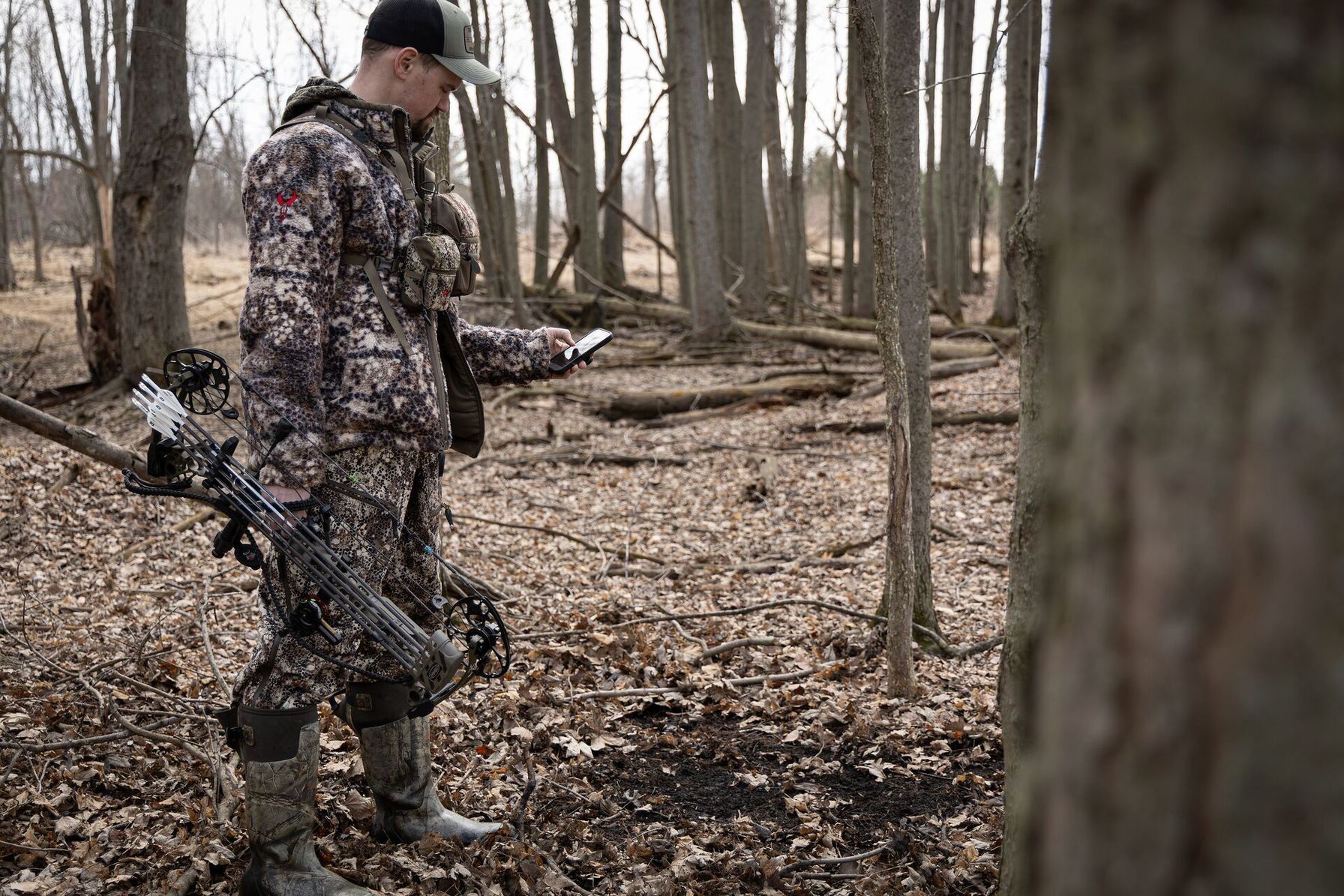
Whether you’re deep in the backcountry or setting out on your first day, the right hunting app can provide real-time insights to help you level up your approach and hunting strategy.
1. Check Wind Before You Move
Deer and other game animals rely on their highly developed sense of smell to evade danger and threats. Approaching or preparing your stand or stalking approach from downwind is an essential strategy to minimize getting “winded,” that is, when an animal detects your scent carried by the wind.

Wind patterns shift across different types of terrain and at different times of day. Apps such as HuntWise with WindCast, or an equivalent, can help you confirm wind direction before heading out and keep your scent away from where the game is expected to be. Wind features can help you determine the ultimate stand location or plan your approach.
2. Monitor Weather and Animal Movement
Weather, barometric pressure, and temperature can trigger reliable animal movement and activity. When a high-barometric-pressure system follows a storm front, deer tend to feed more heavily and out in the open.
As storms come in and pressure drops, you’re more likely to find deer and other game animals bedding up or seeking cover, especially in areas of thick vegetation.
Colder temperatures may keep deer up and about as they replenish lost calories. In contrast, during hot weather, especially in summer, they tend to bed down in shaded, cooler areas during the warmest parts of the day and become more active in the early morning and late evening.
Balancing differing atmospheric conditions can be confusing when you’re just starting out. Use HuntCast to identify peak activity windows by the hour, with insights informed by wind, weather, and lunar cycles. Always check forecasts the night before, not the morning of.
3. Navigate Without Cell Service
When your cell service dips in and out or completely drops, having access to offline maps is not only important for the hunt but essential to your safety, especially when exploring new terrain or deep in the backcountry.
Marking your truck or camp lets you use the app's GPS track feature to retrace your steps back to these zones if needed.
Download maps before heading into the field, covering a slightly wider area than you expect to hunt. This ensures you have access to the surrounding access routes and backup options if you move outside your intended hunting zone.
I like to double-check functionality by switching my phone to airplane mode to be extra sure.
4. Log Your Hunt
Many hunting apps now let you record harvest locations, trail camera observations, and sightings. These tools can help you start building a picture of a hunting location, create a multi-season pattern that can be used year after year, and create a personalized database.
You can rework successful ridges, re-explore deer-heavy benches, and avoid unnecessary routes. Plus, the HuntWise mapping tool lets you save pins across all properties you hunt, so you can build deep knowledge of a range of hunting environments.
What to Look for When Choosing a Hunting App
When choosing a hunting app as a beginner, focus on the foundations of safety with strong navigation features, offline capabilities, and public and private land overlays. Look for a user-friendly interface with accurate weather and wind tracking.
Finding an app with a tiered payment system (like HuntWise’s Free, Pro, and Elite tiers) is also a fantastic way to start using a hunting app. You can master basic map reading and bushcraft without being overwhelmed by advanced features, then upgrade once you’ve developed the fundamentals.
What to Look for When Choosing a Hunting App | |
|---|---|
| What to Consider | Questions to Ask Yourself |
| Species Focus |
|
| Map Quality |
|
| Offline Capability |
|
| Price |
|
| Ease of Use |
|
| Platform |
|
Not only should a quality hunting app offer strong features, but it should also be innovative and adapt to the times. For example, the HuntWise app is constantly evolving, and our team is always looking for new ways to develop stronger features. You can even email us a feature idea.
Tips for Getting the Most Out of Your Hunting App as a Beginner
When you’re first getting started with a Hunting app, it's best to start with the basics of mapping and land boundaries before moving on to more advanced hunting app features as you develop your hunting and bushcraft skills.
- Start E-Scouting Early: Ideally, you start e-scouting at least 60 days before your season opener. This process involves breaking down the wider area into smaller, more manageable parcels for in-depth investigation. Play around with the topo and 3D features to explore critical terrain features such as beds, scouting ridges, mixed-vegetation zones, and natural funnels.
- Download Offline Maps for Every Intended Hunting Unit: I like to double- and triple-check that all my maps are downloaded and have offline capabilities before heading out. It’s always beneficial to set your map limits slightly wider than intended in case of an emergency. Cell service is never guaranteed, and you’ll often find that the best hunting spots are the most remote and out of reach.
- Confirm Land Boundaries: Property lines can change as land is sold, reallocated, or designated as federal or state wildlife zones. It’s always best to verify land boundaries in the app against your state's official regulations before hunting to avoid trespassing.
- Match E-scouting With In-person Scouting: E-scouting should be matched with boots-on-the-ground scouting whenever possible. E-scouting provides a strong overview of an intended hunting area by locating terrain features, beds, water, and food access. In-person scouting allows you to confirm animal presence by signs, check the wind, and assess terrain for access points and accessibility.
- Keep Your Phone Charged: With offline maps, you can switch your phone to airplane mode, turn down brightness, and close background apps to save some juice. A lightweight, portable USB battery bank will be invaluable when your phone runs out of power.
- Revisit Waypoints: Good hunters keep records of hunts, revising waypoints and updating zones with information on animal movement, pressure, weather, sightings, and other critical data.
Try the HuntWise Hunting App Free for 7 Days
The right hunting app can give first-time hunters the pre-season and in-field intelligence that seasoned hunters have spent years developing. This intel can shorten the learning curve and provide science-backed, real-time insights at every stage of your hunting journey.
No matter what stage of the hunting journey you're at, with cutting-edge features, a user-friendly interface, and customer support, you can start with HuntWise today and plan your next hunt from the comfort of your home.
Download HuntWise and explore Pro and Elite features free during your first week in the app. Ask yourself the questions we highlighted above to evaluate the app (or any app) as you plan your first (or next) hunt.
Frequently Asked Questions (FAQs)
Q: What Is the Best Hunting App for Beginners?
A: The best hunting app for beginners is one that's easy to use and includes essential features like GPS mapping, public and private land boundaries, offline maps, weather forecasts, and waypoint marking. As you gain experience, tools like HuntCast and wind forecasting in the HuntWise app can help you make more informed hunting decisions.
Q: Are Hunting Apps Free to Use?
A: Many hunting apps offer a free version with basic mapping and navigation tools, along with optional paid plans that unlock additional features such as advanced map layers, offline downloads, weather insights, and hunting forecasts. HuntWise offers Free, Pro, and Elite membership options, allowing hunters to choose the features that best fit their needs.
Q: What Does e-scouting Mean?
A: E-scouting is the process of researching hunting areas from home using digital maps, satellite imagery, topographic maps, and land ownership information. It helps hunters identify terrain features, food sources, water, access routes, and potential stand locations before ever stepping into the field.
Q: Can You Use a Hunting App Without Cell Service?
A: Yes. Many hunting apps let you download maps before your trip so they remain available without cell service. Your phone's built-in GPS can still display your location on downloaded maps, making offline navigation an important safety feature in remote hunting areas.
Q: What Is HuntCast?
A: HuntCast is HuntWise's species activity forecast that estimates when animals are most likely to be active. It combines factors such as weather conditions, wind, seasonal movement patterns, and lunar data to help hunters identify favorable times to hunt.
Q: How Does the HuntWise App Work?
A: HuntWise combines GPS mapping, property boundary data, weather forecasts, wind information, offline maps, and hunting forecasts in one app. Hunters can use it to e-scout before the season, navigate in the field, mark waypoints, monitor changing conditions, and keep records of hunts over time.
Q: How Do I Find Public Land to Hunt Using an App?
A: Most hunting apps include public land map layers that show where public hunting opportunities are available. Turn on the public land layer, review property boundaries, and verify any permit or hunting unit requirements before your trip. It's also a good idea to confirm regulations with your state's wildlife agency before hunting.
Q: Do I Still Need to Scout in Person If I Use a Hunting App?
A: Yes. -scouting helps narrow down promising locations, but in-person scouting lets you verify animal sign, evaluate current conditions, assess access routes, and confirm that the terrain matches what you saw on the map. Using both methods together gives you a more complete understanding of your hunting area.


