

Many hunting zones, even public forests, contain complex boundaries including private inholdings, logging and mining claims, homesteads, and more. Although game animals don't respect these boundaries, as hunters, we must exercise complete discretion, ensuring we're aware of these different claims and ownership rights to avoid accidentally trespassing into restricted zones or private holdings.
Luckily, with a modern hunting app with property lines, knowing how to find property lines for hunting is relatively easy. Our guide breaks down different resources and strategies you can use to hunt legally and make the most of your time in the field.
Why Knowing Property Lines Matters Before You Hunt
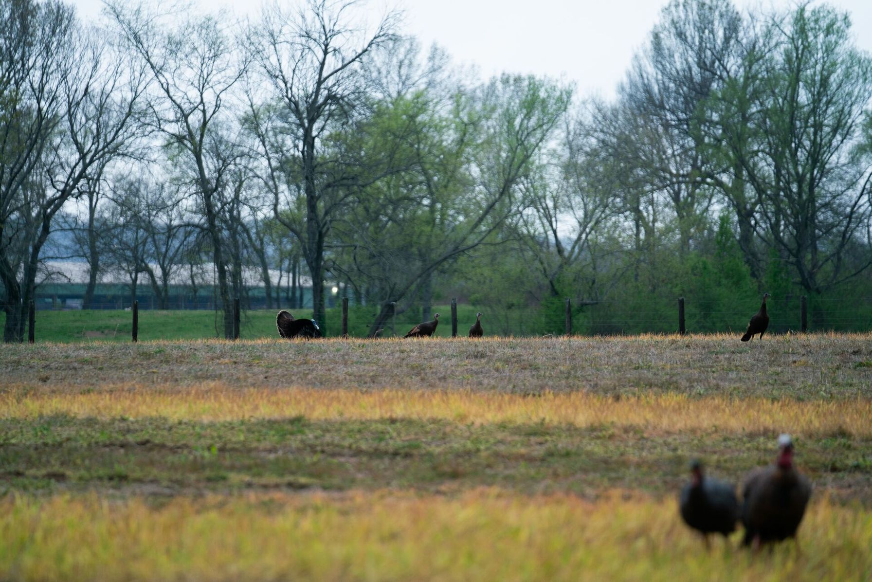
Understanding and respecting property lines when out in the field is an ethical responsibility of all hunters. Not all public land is open to hunting, and crossing a property line into private or restricted land can carry heavy penalties, including trespassing charges, fines, and license suspension.
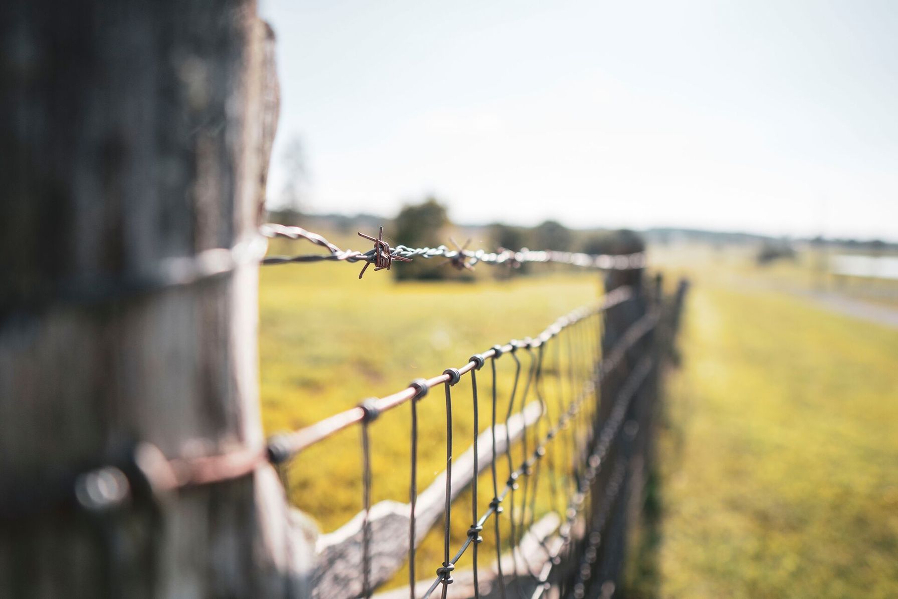
Property lines for hunting aren’t always marked with clear visual indicators like fences or signs, making it difficult to distinguish these zones.
On top of that, bucks and mature game will often slip in and out of public and private holdings or hang around the edges of property. Being aware of boundaries is not only a legal necessity but can also form part of your hunting plan.
A modern hunting app with property lines, such as HuntWise, provides access to detailed land ownership maps, including national forests, BLM lands, state-owned properties, and private holdings.
By researching boundaries before your hunt, you can plan access routes more effectively, avoid costly mistakes, spend more time hunting, and less time second-guessing where you stand.
Why You Can't Trust Google Maps for Property Lines
While Google Maps may be a handy navigation tool, it doesn’t contain the land records necessary to demarcate land boundaries that can help you find land boundaries for hunting. We’re talking about two different things, and relying on Google Maps to estimate property lines may place you in real legal risk of trespassing on private land.
To accurately identify property boundaries, a mapping tool should incorporate cadastral (parcel boundary) data and, where available, current land ownership information taken from legal records.
As a hunter, there are several reliable options to access boundary maps, and most of them are free, which we’ll explore below.
How to Find Property Lines for Hunting: The Best Methods
Using one or a combination of the following methods can provide the most accurate data on land boundaries. As a hunter, it’s your responsibility to verify boundaries by consulting posted property lines, cross-referencing multiple maps, and reviewing public records.
Luckily, there is a wider range of tools at your disposal when learning how to find property lines for hunting.
Resources for Finding Property Lines Before Hunting | |||
|---|---|---|---|
| Method | Cost | Accuracy | Best For |
| County GIS viewer | Free | High | Rural Parcels |
| USDA Web Soil Survey | Free | Medium | Public/private boundary cross-reference |
| HuntWise App | Subscription | High | Field navigation + marking waypoints |
| On-ground markers | Free | High | Final confirmation before accessing |
Keep in mind that property boundary information isn’t always up to date, and no digital tool constitutes a legal survey. Mapping data may not immediately reflect changes to land designations.
If you're still uncertain, modern hunting apps such as HuntWise provide landowner contact information. In most cases, verifying on the ground with a quick phone call or email to ask for permission to cross the boundary is far more appreciated than a trespasser.
How to Use a County GIS Parcel Viewer
Every county in the US maintains property records, and many are available free online via the relevant agency website.
A Geographic Information System (GIS) is a computer-based system that collects and manages geographic data from sources such as land surveys, satellite imagery, and public records. This information produces digital maps.
To use a GIS parcel viewer:
- Search “[County Name] GIS parcel viewer” or “[County Name] assessor parcel map” in your browser to access the tool.
- You can then search by address, parcel number, or even the landowner's name.
- Once you've accessed your intended hunting zones, download or screenshot the boundary before heading out to reference it against your hunting app.
GIS maps can provide powerful insights. However, you may find that accuracy varies by county, and urban counties often have more precise data than rural areas. Still, it's a strong starting point for rural hunting parcels and a free option.
Using the USDA Web Soil Survey
Another great free resource is the Web Soil Survey maps, managed by the USDA Natural Resources Conservation Service.
While the website might look a bit dated, the data covers more than 95% of US counties. It’s a useful tool for cross-referencing public and private land holdings as well as identifying different habitat types.
Start with a Web Soil Survey to define your intended hunting area of interest (AOI) by drawing a rectangle or polygon on the map. I’d do this side by side with the GIS data and even open my hunting app. It works best as a secondary check, especially when identifying public land edges that run along private holdings.
How to Load Property Lines Into the HuntWise App
Before going out on any hunt, it’s important to know exactly what and where your property lines are. HuntWise can make this step extremely easy for you! I personally use this feature more than any other within the app on my phone.
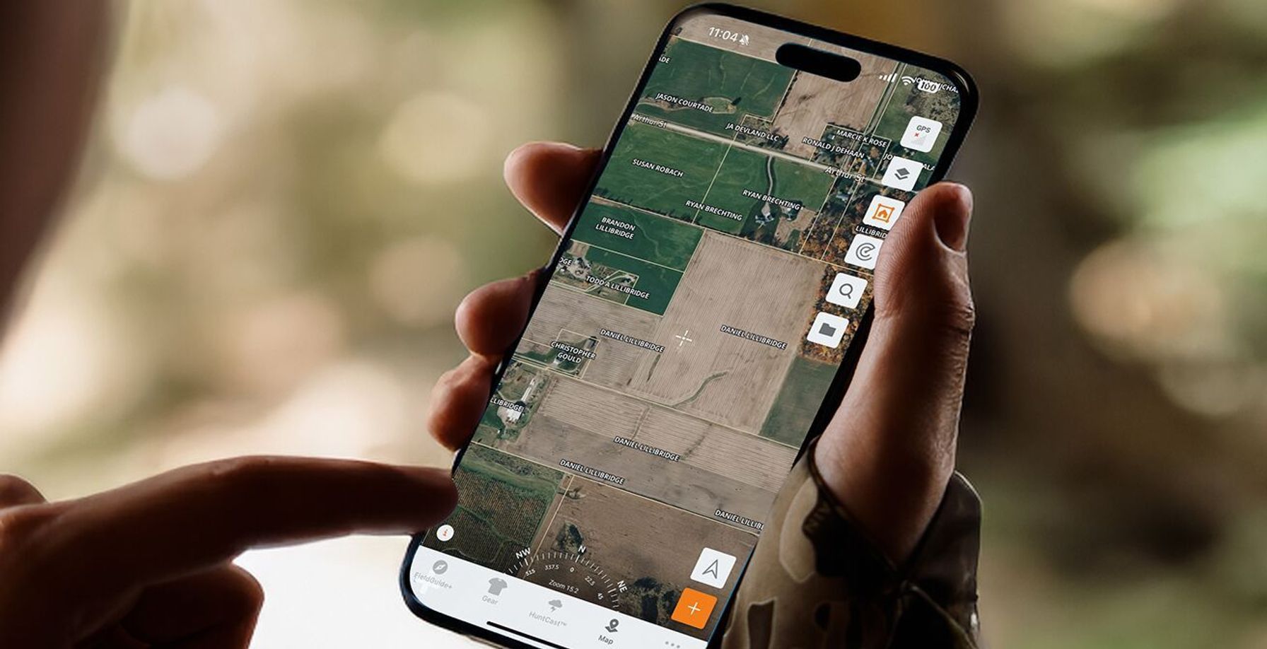
- First, I go to my exact location on the map and then turn on the land ownership layer.
- Then, I review the outlined boundary of all the properties and who owns them.
- Often, when you select the property or the owner's name, it also shows how many acres they own and sometimes their phone number.
- Use this information and download the map in case you’re heading out to an area with very little or no cell service. This is a feature I have not personally used because I, miraculously, have had very decent or good cell service at all my hunting locations.
- Finally, mark certain waypoints on your hunting spot. Knowing exactly where boundaries are will be crucial, whether you’re hunting private lands near you or public lands far away that butt up to private properties. This is also a feature I don’t use much, as I hunt very well-known properties. But it would be beneficial if I ever travel outside of those pieces of ground!
Using these features can make your scouting life drastically easier if you have some basic information before heading out. I have used this feature to walk properties edge to edge, and in my case, the lines have been nearly spot-on!
Scouting missions are that much easier if you know exactly where you are and are staying on the correct property. So long as you have cell service, you can actually watch yourself move live in the app as you walk across pieces of ground. While doing this, adding in points of interest becomes so much easier and faster!
Additionally, this feature makes it easier to create and build your own hunting area where you can add waypoints such as tree stands, ground blinds, food plots, and much more! In my case, I've only used this on private land owned by people I know, but it works the same way whether you're on public land or reaching out to landowners for permission.
This feature is truly such a valuable tool to have at your disposal. If you want a way to make life a little easier this hunting season, check out HuntWise and use this very important key feature!
How to Confirm Property Lines in the Field
Digital maps are a strong starting point and can provide a decent overview of land parcels. However, confirming property lines is most accurate with a combination of maps, data, and in-person verification.
- When you're out in the field, check for posted signs, fence lines, survey stakes, and bearing trees, as fence lines may not always align with legal boundaries. Survey stakes, which are metal rods in the ground at parcel corners, are the most reliable physical markers. Land surveyors may use a metal detector to locate buried ones.
- You can mark your confirmed boundary points as waypoints with HuntWise mapping before your hunt, and then confirm with these visual markers while you’re in the field. Keep the landowner’s contact information handy using the information from the HuntWise app.
I always recommend leaving a slight buffer when hunting close to private land boundaries. While it's not necessarily illegal, hunting about 50 yards from the fence is widely appreciated, especially on leased lands.

A Simple Step-by-Step System for Finding Property Lines Before You Hunt
Putting together all of the resources and tips we shared today can give you the most thorough and accurate picture of boundary lines before you head out and during the hunt.
Follow the steps below to ensure maximum compliance for identifying and hunting around property lines before you hunt.
- Start with the free GIS viewer by searching “[County Name] GIS parcel viewer” to access the free interactive map. Data is available for most counties.
- Locate the property or properties by address or owner name and either download or screenshot the parcel boundary for your records and preparation.
- For your second data point, cross-reference the GIS map with the USDA Web Soil Survey for the public-private overlays.
- Next, load the boundary into your HuntWise app using the property lines layer before scouting.
- Once in the field, you can confirm with physical markers (posted signs, fence lines, survey stakes).
- Mark confirmed boundaries as waypoints using the collated GIS, Web Soil Survey, HuntWise boundaries, and physical indicators.
Remember, boundaries can change. If you’re still in doubt, contact the Land Registry, Forestry Department, planning, or reach out to the private landowner via the HuntWise app.
Final Tips for Staying on the Right Side of the Line
When hunting near property edges, err on the side of caution. It can be a great practice to leave a “buffer” just in case, which is a lot better than a close call or a land dispute.
You’ll need the landowner's permission to retrieve a downed deer or other game animal that crossed into private land, even if you shoot it in a designated public zone. Otherwise, you risk a trespassing citation.
Awareness of property boundaries is critical for your e-scouting and hunt planning, not just once you hit the ground. Land ownership shifts regularly, and it's up to you as the hunter to be aware of how this land is divided up and used.
With HuntWise, it's easy to stay on top of boundaries with public and private land overlays derived from cadastral data, plus access to private landowners' contact details, in real time when out in the field. Integrate HuntWise into your pre-hunting strategy for a step-by-step approach to finding hunting land.
Use HuntWise to Find and Navigate Property Lines This Season
With a simple three-step approach of finding digital boundaries, cross-referencing with USDA data, and confirming with on-the-ground visuals and land markers, you can be confident that you’re hunting right where you’re supposed to be.
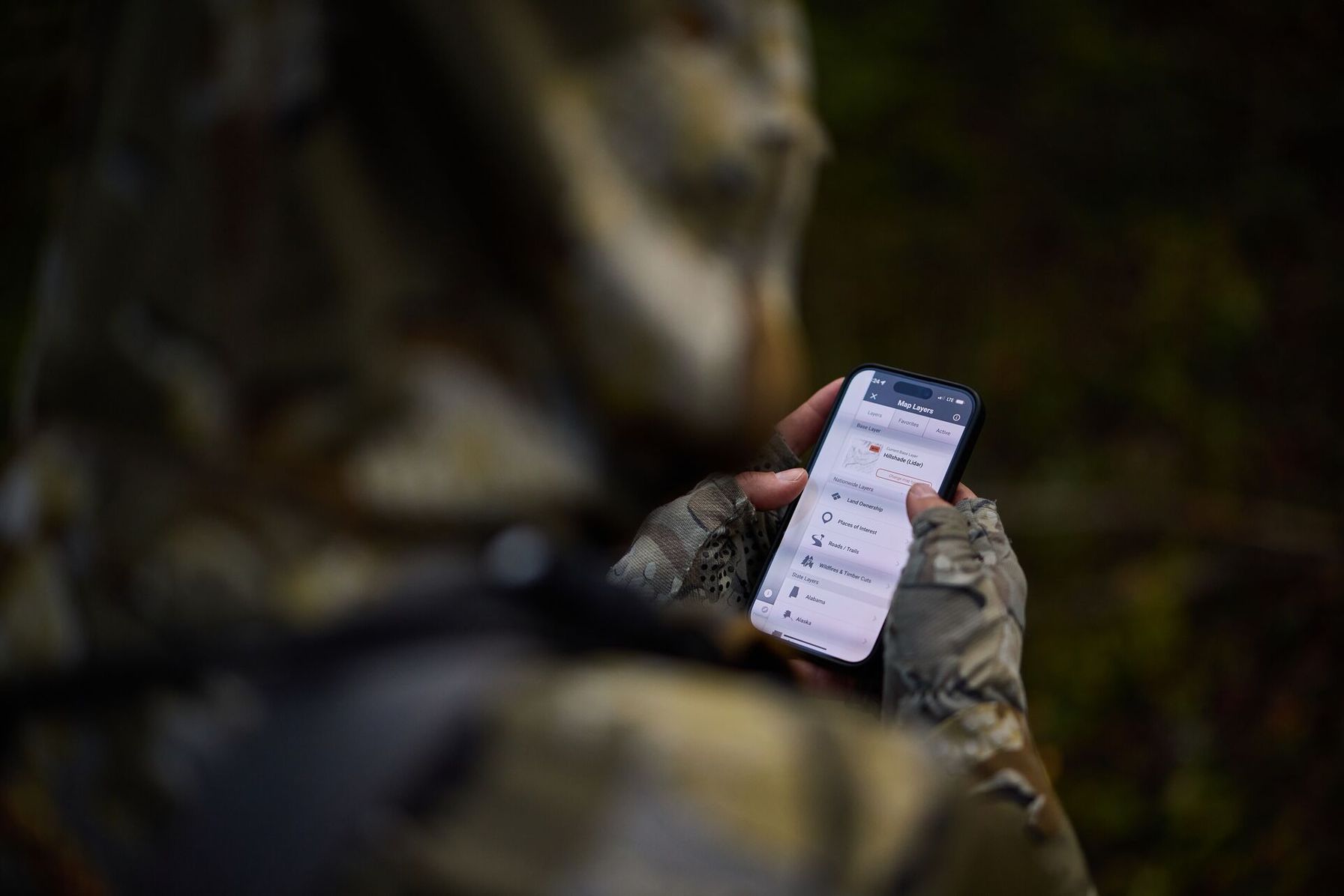
With HuntWise, you can access property line data and satellite imagery, and download these overlays into your offline maps to maintain compliance no matter where you’re hunting. Download HuntWise and explore the app free during your first week! HuntWise helps you make the most of the property line layers and private landowner contacts for your next hunt.
Frequently Asked Questions (FAQs)
Q: How do I find property lines for hunting for free?
A: You can find property lines for free by using your county's GIS parcel viewer, which displays parcel boundaries and ownership records. Many hunters also cross-reference those maps with the USDA Web Soil Survey to better understand public and private land boundaries. Before hunting, verify boundaries with posted signs, survey markers, or other physical indicators in the field.
Q: Is Google Maps accurate for property lines?
A: No. Google Maps is useful for navigation, but it doesn’t display official property boundary data. If you need to identify property lines for hunting, use a map that includes cadastral (parcel) information, such as a county GIS parcel viewer or a hunting app with property line overlays.
Q: What is a county GIS parcel viewer and how do I use it?
A: A county GIS parcel viewer is a free online mapping tool that displays property boundaries, parcel information, and, in many cases, land ownership records. Search for your county's GIS parcel viewer, then locate a property by address, parcel number, or owner name. You can save the map or take a screenshot to reference while planning your hunt.
Q: Does HuntWise show property lines?
A: Yes. HuntWise includes property line overlays that display public and private land boundaries using cadastral data. Depending on the area, you may also be able to view landowner information, download maps for offline use, and mark waypoints to help you stay aware of nearby boundaries while scouting or hunting.
Q: How do I know if I'm on public or private land while hunting?
A: The most reliable approach is to use multiple sources. Check a hunting map showing property ownership before your hunt, and compare it with county GIS records as needed. Then confirm boundaries in the field using posted signs, survey markers, or other visible boundary indicators. If you're ever unsure, avoid crossing the boundary until you've verified ownership.
Q: What are the best apps for hunting property lines?
A: Look for hunting apps that include property line overlays, public land maps, satellite imagery, offline maps, and waypoint tools. HuntWise combines these features with land ownership information to help hunters identify public and private land boundaries before and during a hunt.
Q: Can I legally hunt right up to a property line?
A: In many places, hunting near a property line is legal if you remain entirely on land where you have permission to hunt and follow all state and local regulations. However, it's wise to leave a buffer near private property to avoid accidental trespassing. If a wounded animal crosses onto private land, you'll typically need the landowner's permission before entering to retrieve it.


