

Georgia DNR manages 3,154 acres of waterfowl impoundments there, along with about 27,000 acres of bottomland hardwoods and cypress-tupelo swamps.
The impoundments split into three units, and each one works differently. Butler Island and Champney Island run on quota hunts, and Rhett’s Island is reachable only by boat. Applications for the quota draw close in mid-October, well before most hunters start thinking about decoys.
HuntWise helps you size up those units before you apply. Our public land layer outlines the management area on satellite imagery, so you can pin your check station, your boat ramp, and the route to your unit. If you’re new to how to find public land, this guide covers the Georgia steps, the main areas, and the draw rules that shape your season.
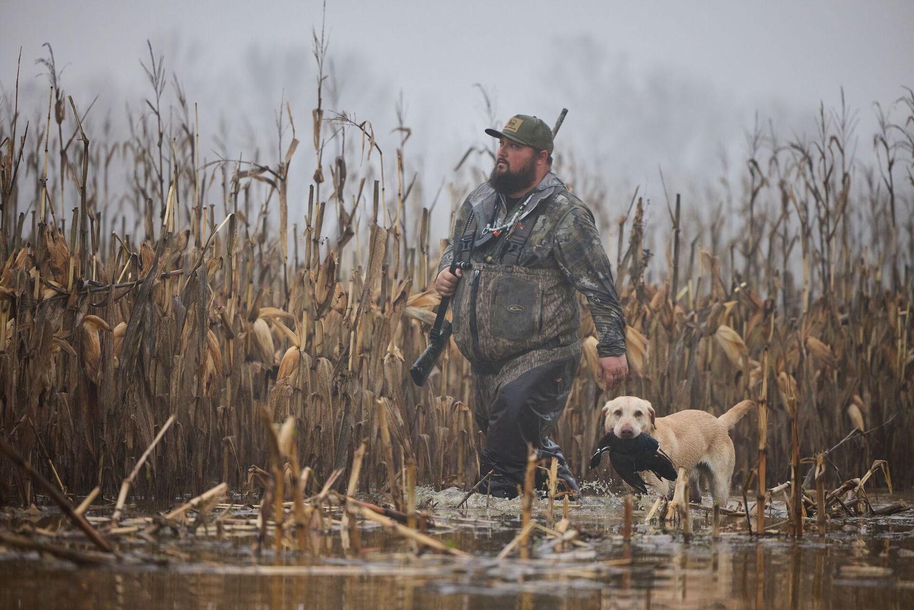
How to Find Public Waterfowl Hunting Land in Georgia: Five Steps
Georgia’s duck season is short, and the Altamaha quota draw closes in mid-October, so these steps run in the order a hunter has to act.
- Turn on the public land layer in HuntWise. Open HuntWise satellite maps, enable the public land layer, and zoom to the coast near Darien. The Altamaha management area appears over satellite imagery, so you can see the impoundments, the river, and the access roads.
- Match your gear to a unit. Butler Island runs quota hunts on Saturdays, and Champney Island runs quota hunts on Saturdays and Sundays. Rhett’s Island opens to hunters on Wednesdays, Saturdays, Sundays, and state holidays, and you reach it only by boat.
- Enter the quota draw. Waterfowl quota applications run from June 1 through October 15, and the Georgia waterfowl quota hunts page lists every area. Each hunter applies alone, since group applications aren’t allowed for waterfowl.
- Match your dates to Georgia’s two segments. Georgia’s duck season opens with a nine-day segment around Thanksgiving, and a second segment runs through January 31. The Georgia migratory bird season dates explain how those segments fall each year.
- Plan your arrival. Selected Butler Island hunters check in before 5:00 a.m. for a stand drawing, and shooting hours end at noon. Check Georgia DNR’s alerts for boat ramp closures before you launch.
Georgia DNR’s Altamaha WMA information page lists the unit types, the check station address, and the notices that affect access.
What to Pack and Confirm Before You Hunt Altamaha
Duck movement drives how a short season plays out, so spend some time on planning around duck movement before you pick your application dates. Most Altamaha hunters carry the same core items:
- A Georgia hunting license or Lands Pass for WMA access, a GA Waterfowl and Migratory Bird License for hunters 16 and older, and a Federal Duck Stamp
- Your quota permit, if you drew Butler Island or Champney Island
- Non-toxic shot, since Georgia bans lead shot while you hunt waterfowl
- A boat with a motor of 25 horsepower or less for Rhett’s Island, because larger motors aren’t allowed and airboats are banned in the impoundments
- A downloaded HuntWise map with pins on your ramp and check station
Don’t plan on fishing, shrimping, or crabbing around Rhett’s Island during waterfowl season, because DNR prohibits all three there. Drone use is off the table too, including launching and landing.
Waterfowl Hunting Areas in Georgia
Five public options give you a starting list, from the coastal impoundments to inland quota ponds. Because Georgia leans on quota systems, it helps to read up on how WMA quota hunts work before you apply.
Georgia Waterfowl Hunting Areas | |
|---|---|
| Area Name | Rules |
| Altamaha WMA, Butler Island (near Darien) | Quota hunts run on Saturdays. Selected hunters check in before 5:00 a.m. for a stand drawing, and shooting hours end at noon. |
| Altamaha WMA, Champney Island (near Darien) | Quota hunts run on Saturdays and Sundays, and a youth or veteran hunt opens the season. Shooting hours end at noon. |
| Altamaha WMA, Rhett’s Island (near Darien) | Hunting is by boat only, on Wednesdays, Saturdays, Sundays, and state holidays. Access runs through designated crossover sites, with motors limited to 25 horsepower. |
| B.F. Grant WMA (near Eatonton) | Waterfowl hunting on the MARSH ponds is by quota only, with youth hunts and adult hunts on set dates. Shooting hours end at noon. |
| West Point WMA, Glovers Creek Area (West Georgia) | Waterfowl hunting runs on a quota system on set Saturdays. Apply in the same draw as Altamaha. |
How a Hunting App Helps You Plan Around the Draw
A quota permit puts you on one unit for one day, so knowing the ground ahead of time makes that day count. Use HuntWise to trace the route from the check station to your unit, mark the ramp, and note where the marsh narrows before you reach the water.
Parts of Altamaha stay closed to firearms year-round, including Butler Refuge and the Ansley Hodges MARSH Project, so reading property boundaries before you launch keeps you off ground where you can’t hunt. Download your hunt area at home as well, since the coast can drop your signal at the boat ramp.
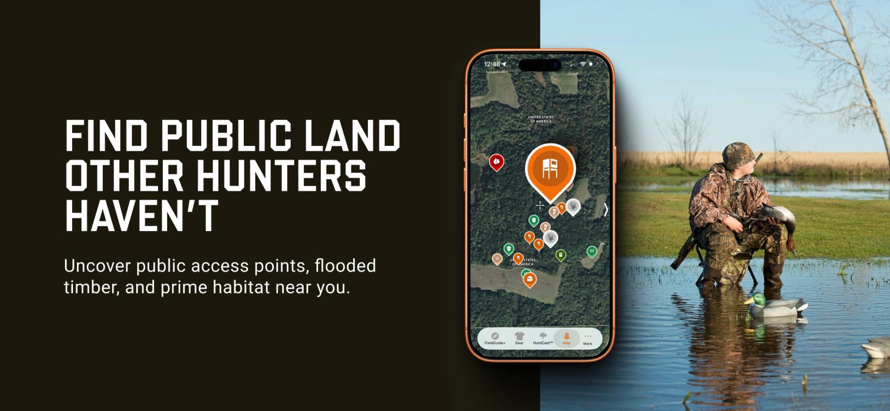
Finding Public Waterfowl Hunting Land in Georgia Is Easier with HuntWise
Public waterfowl hunting in Georgia rewards hunters who apply early and arrive prepared. Pick your unit, enter the draw before mid-October, learn your check-in time, and know your ramp and route before opening morning.
HuntWise puts the Altamaha units on one map, so you can plan your launch, your route, and your off-limits areas from home.
Frequently Asked Questions (FAQs)
Q: What is the best public waterfowl hunting land in Georgia?
A: Public waterfowl hunting land in Georgia centers on the Altamaha Waterfowl Management Area, and other quota areas such as B.F. Grant and West Point offer options inland. Which one fits depends on your boat, your calendar, and your luck in the quota draw.
Q: How big is the Altamaha Waterfowl Management Area?
A: The Altamaha Waterfowl Management Area includes 3,154 acres of managed waterfowl impoundments. Another 27,000 acres or so of bottomland hardwoods and cypress-tupelo swamps surround them.
Q: Which Altamaha WMA units are walk-in versus quota hunts?
A: Georgia DNR lists Butler Island and Champney Island as quota hunts, and Rhett’s Island as reachable only by boat. None of the three units work as an open walk-in area, so check DNR’s current listing before you plan a trip.
Q: Do I need to apply for a draw to hunt Butler Island?
A: Yes, you must apply for a draw to hunt Butler Island. Waterfowl quota applications run from June 1 through October 15, and each hunter applies individually.
Q: What is Altamaha WMA’s history as a rice plantation?
A: Altamaha WMA’s history as a rice plantation traces back to the Altamaha River delta, where planters grew indigo, rice, and cotton starting in the 1700s. After the Civil War ended the plantation system, Butler Island became a wildlife conservation site that grows wild sea rice for ducks, and the state built the impoundments in the mid-1950s.
Q: Can HuntWise show me Altamaha WMA’s impoundment units?
A: HuntWise shows Altamaha WMA through its public land layer, which outlines the management area on satellite imagery. For unit-by-unit access rules and closed areas, rely on Georgia DNR’s listing, since those details can change each season.
Q: What species can I hunt at Altamaha WMA?
A: At Altamaha WMA, you can hunt ducks and geese during the state waterfowl seasons, and the area also offers deer, turkey, small game, and dove hunting. Bag limits vary by species, so check the daily limit for mallards, black ducks, and others before you go.
Q: How do I download Georgia waterfowl area boundaries for offline use?
A: To download Georgia waterfowl area boundaries for offline use, build a hunt area around your unit in HuntWise and save it over Wi-Fi before you leave. Your map and pins stay available at the ramp and on the water, even when the coastal signal drops.


