

Access and mapping sources differ by designation. For example, WPA and NWR hunt zones appear as USFWS layers, while states administer WMAs through Department of Natural Resources (DNR) or Game & Fish hunt-planner tools.
For easy access and viewing, HuntWise combines all three into one satellite view, plus a topo map, public land boundaries, and WPA and NWR overlays. From there, you can add water-feature overlays to explore flooded timber and moist-soil units, and to see changes in flowing and still water sources to target waterfowl concentrations.
Instead of switching between a PDF of a state DNR map, the USFWS refuge locator, and a separate satellite app, you can identify access points and productive habitats all in one place, no matter whether you’re targeting public duck hunting land or a USFWS Canada goose hunt.
Keep reading as we break down the different land designations and share proven strategies from an experienced waterfowl hunter for finding productive public hunting opportunities.
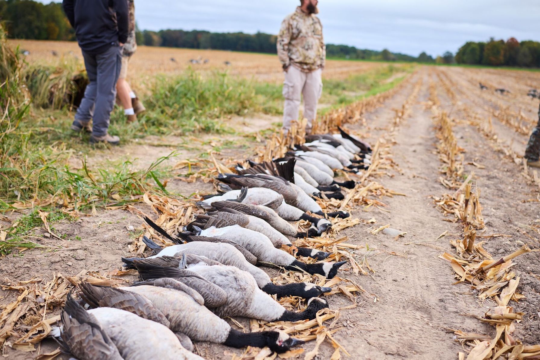
WMAs, WPAs, and NWRs: Know the Difference Before WMA Duck Hunting or Goose Hunts
Understanding different management approaches and access requirements can help you scout more effectively. You may find an ideal duck-hunting spot, only to discover later that you need a permit or other access authorization for WMA duck hunting in that zone. Explore the breakdown below for a management-specific overview.
Wildlife Management Areas (WMA)
Wildlife management areas (WMAs) are state-managed tracts of land protected for conservation and public recreation. The relevant DNR Game and Fish Department proactively manages these areas through conservation practices such as habitat manipulation, water management, invasive species control, population management, and access management.
Specific practices typically follow individual management plans, so they vary considerably by state. Hunting access also varies: some WMAs use lottery systems or open access, while others operate on a first-come, first-served basis. WMAs are public lands that offer hunters some of the most exciting and dynamic hunting across a diverse range of habitats.
Waterfowl Production Areas (WPAs)
Waterfowl Production Areas are federally managed wetland habitats managed by the USFWS. Together, these areas conserve more than 3 million acres of habitat, primarily concentrated in the Prairie Pothole Region.
These zones are typically open to public hunting under specific federal guidelines and state regulations. Non-toxic shot is required on all WPAs, and access may be restricted to foot traffic only beyond specified boundaries in certain WPAs.
National Wildlife Refuge (NWR) Hunt Zones
NWR hunting areas are designated hunting zones that often sit within a refuge. USFWS manages these zones. Access varies: some zones require permits, while others may impose quota days.
Hunting is permitted on NWRs, often as a population-management tool to support ongoing conservation and habitat security. Hunting is not necessarily permitted throughout an entire refuge. Refuge-specific regulations determine which species, seasons, units, and methods are allowed.
Use the side-by-side comparison below to help you identify the right public duck hunting land or waterfowl hunting land before you start scouting.
Types of Public Waterfowl Hunting Land | ||
|---|---|---|
| Land Type | Managing Agency | What It Offers |
| WMA (Wildlife Management Area) | State wildlife agency (DNR, Game & Fish) | State-managed marsh, wetland, and flooded timber units; often lottery or first-come access |
| WPA (Waterfowl Production Area) | U.S. Fish & Wildlife Service | Federally protected wetland habitat, generally open to public hunting |
| NWR hunt zone (National Wildlife Refuge) | U.S. Fish & Wildlife Service | Designated hunt zones within refuges. Some require permits or quota days. |
| DU wetland project | Ducks Unlimited (often on public land) | Restored wetland habitat, access varies by project and state |
After determining which hunting land access and category you’ll be approaching, you can start e-scouting and use different HuntWise layers to explore the wetlands in greater depth. Knowing how to find public hunting land and how to hunt public land are two different skills, and taking the time to understand the terrain, water sources, food, and other factors will turn a promising parcel on a map into a complete hunting picture.
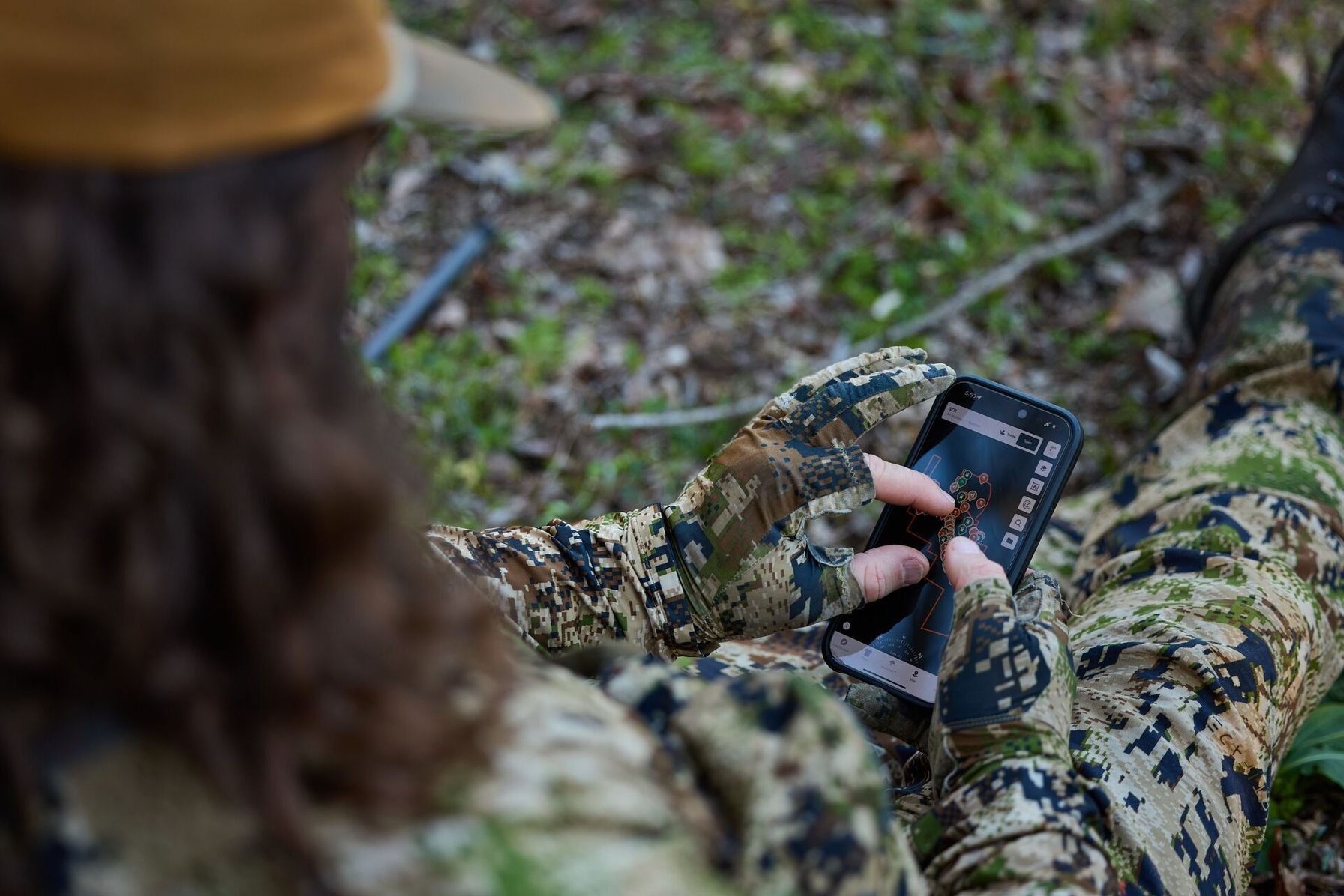
How to Find Public Waterfowl Hunting Land with HuntWise
Finding legal, huntable water doesn't always have to feel like homework. Most hunters make it harder than it needs to be, flipping between state parks and wildlife maps, staring at the USFWS refuge locator, then pulling up a satellite map to see if that slough on public holds water when the birds are actually here.
By the time you've cross-referenced all of this, you've burned an entire evening that you could have been out scouting. There is a better way. Layer multiple map types into one view, and you can see legal boundaries, refuge lines, and historical water conditions in one place without switching back and forth through a hundred tabs.
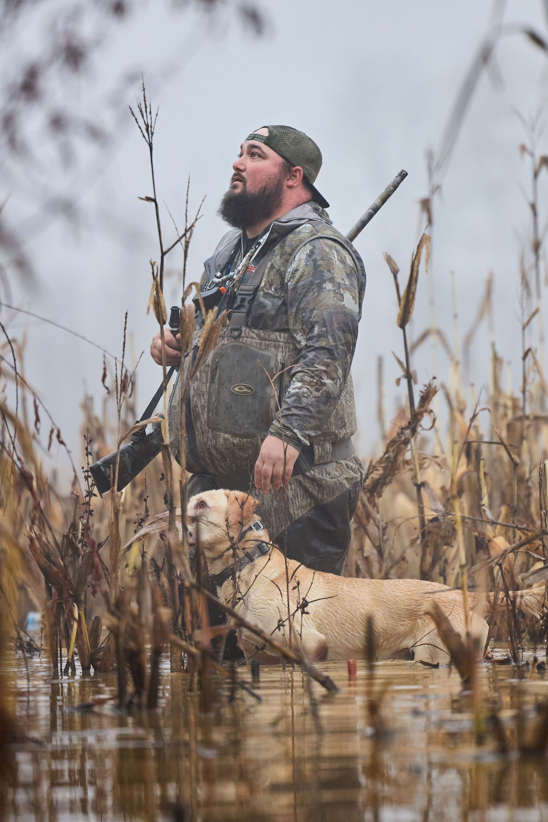
Here's a workflow for finding public duck hunting land before the season opener.
- Open the HuntWise app and go to the Public Land tab in satellite map view for your target state.
- Turn on the Waterfowl Production Area and National Wildlife Refuge overlays to see federally managed parcels. Not all are open to hunting at all times, though. WPAs stay open to recreation unless there is a specific reason to close them, while refuges are closed until opened, so check local regulations before you commit.
- Cross-reference those overlays with your state's WMA boundaries to find state-managed marsh and wetland units open to public hunting.
- Use the satellite layer to look for some diversity in water types, places where moving water, such as creeks and rivers, meets still water like a marsh or flooded timber. That edge habitat tends to hold migrating waterfowl.
- Check for public hunting land adjacent to agricultural fields that are visible on satellite imagery. Grain and rice fields near huntable wetlands draw birds from their roosts on the water to feed.
- Download offline maps for your target WPA, NWR, or WMA before heading out. Many refuges typically sit in remote or low-lying areas with a well-earned reputation for spotty or non-existent cell service.
Stacking boundaries, refuge overlays, and terrain on one map removes the guesswork of where to hunt. What would otherwise take at least three maps and a good deal of brainpower can now be done in a few minutes, in one view. With HuntWise, you'll know which parcels are worth checking, and which ones aren't, before you burn a tank of gas and a weekend finding out.
What to Look for Once You Find a Public Waterfowl Parcel
Knowing where you're legally allowed to hunt is really only half of the equation. Legal water and huntable water aren't always the same thing. Birds care about food, cover, and whether they feel they can escape from pressure. These five terrain and pressure signals separate a spot worth scouting from one worth skipping.
- Water diversity: Transitional zones, where moving water meets still water, naturally draw migrating waterfowl of various species. That mix of current and calm gives birds options, whether they want to loaf in slack water or feed along a moving edge where habitat types converge.
- Food proximity: Grain fields bordering the wetland provide nearby calories, so birds don't have to burn energy flying far to find a meal. The shorter the commute between roost and groceries, the more likely birds are to settle in and stay put.
- Water-level variability: Fluctuating water levels and flood zones that cycle through wet and dry periods grow high-quality, moist-soil vegetation that birds key in on. These environments stay rich in invertebrates and fresh growth, giving hungry ducks and geese the protein boost they need.
- Pressure sanctuary: Walk-in-only zones or marshes bordering no-hunting areas give waterfowl a safer place to feed and roost. Birds quickly learn to avoid areas near gunfire.
- Access points: Check for boat ramps and parking visible on satellite before you head out. A spot can check every other box and still be a bust if you can't get to it.
Before you commit a hunt day to any one parcel, run it through the checklist on the satellite view. From above, you can spot food, cover, water, and pressure if you know what to look for. Download HuntWise today to know if a spot is worth hunting before you slog through the marsh.
Find Legal Waterfowl Hunting Water Faster with HuntWise
Knowing the differences between WMA (state), WPA (federal, generally open), and NWR hunt zones (federal, designated areas only) is the first step toward a successful waterfowl hunting plan. Previously, you had to switch between maps, state and federal overlays, and separate satellite maps. With HuntWise, you can view it all in one overview, plus cutting-edge mapping overlays for terrain and wetland insights.
Finding quality public hunting land parcels is the first step. From there, explore terrain features such as water diversity, proximity to food, and pressure refuges to find productive habitat.
Frequently Asked Questions (FAQs)
Q: What is the difference between a WPA, a WMA, and a National Wildlife Refuge?
A: A Waterfowl Production Area (WPA) is federally managed wetland habitat generally open to public hunting under applicable regulations. A Wildlife Management Area (WMA) is managed by a state wildlife agency, with access rules that vary by location. A National Wildlife Refuge (NWR) is federally managed for wildlife conservation, and hunting is allowed only in designated areas under refuge-specific regulations.
Q: Can I hunt waterfowl on any National Wildlife Refuge?
A: No. Waterfowl hunting is allowed only where a National Wildlife Refuge specifically permits it. Each refuge may have different hunting zones, seasons, species restrictions, permit requirements, and access rules. Check the refuge's current regulations and your state's waterfowl hunting rules before heading out.
Q: How do I find Waterfowl Production Areas near me?
A: Use the U.S. Fish and Wildlife Service's Waterfowl Production Area information and maps to identify nearby federal parcels. You can also use HuntWise's public land map and Waterfowl Production Area overlay to locate parcels in satellite view. Verify access restrictions and current hunting regulations before your trip.
Q: Are Ducks Unlimited wetland projects open to public hunting?
A: Some are, but access depends on who owns or manages the property. Many Ducks Unlimited projects are on public lands open to hunting, while others are on private land or within areas closed to hunting. Check Ducks Unlimited's public hunting lands maps and confirm the property's current access rules before hunting.
Q: Does HuntWise show public land boundaries for waterfowl hunting?
A: Yes. HuntWise displays public land boundaries and provides Waterfowl Production Area and National Wildlife Refuge map overlays, along with satellite and topographic views. You can use these layers to identify potential hunting parcels and assess wetland habitat. Always verify the current boundaries, access restrictions, and hunting regulations before entering a property.
Q: Do I need a separate permit to hunt a WMA versus a WPA?
A: It depends on the location. WMAs may require special permits, drawings, or reservations in addition to a state hunting license. WPAs generally follow state hunting regulations and federal rules for the property. National Wildlife Refuges may have additional permits or access requirements. Check the managing agency's current regulations for the specific parcel before hunting.
Q: What's the best time of day to scout a new public waterfowl parcel on satellite before hunting it?
A: You can review satellite imagery at any time of day. Focus on the imagery's acquisition date and season, since water levels, vegetation, and wetland conditions can change over time. Look for shallow water, flooded timber, marsh edges, nearby agricultural fields, and potential access points. Then, when permitted, scout the parcel in person to confirm current conditions and observe waterfowl activity.


