

Otherwise, the top options include:
- Public land maps through HuntWise or your state's GIS system.
- Walk-in hunting programs like WIHA, PLOTS, and IHAP.
- U.S. Forest Service (USFS) and Bureau of Land Management (BLM) lands.
- U.S. Army Corps of Engineers (USACE) property around reservoirs.
- State forests and parks that allow hunting.
- Hunter access easements on private land.
- Conservation program lands such as CRP and CREP that are open to public hunting.
Follow this guide for a breakdown of practical steps you can take to uncover real hunting access this season on all seven access types, including using a hunting app. This is a no-frills guide to public land and how to get out there and enjoy a hunt on the wonderful public resources with less time searching and more time on the ground.
What Are the Best Resources for Finding Free Hunting Land Near Me?
There are several reliable sources you can access to uncover free hunting land. Below, we explore seven options, including cutting-edge mapping apps, state data, wildlife agency resources, and private access opportunities.
Method 1: Public Land Maps (HuntWise or State GIS)
GIS tools and public land maps on HuntWise help visualize land parcels, showcasing zones such as public land boundaries, ownership type, and access points. While GIS is typically more government-based, users can still access maps through open data portals.
HuntWise maps are hunter-focused, with the Government Lands/Public Hunting layers allowing hunters to filter by state, zoom into boundaries and find property lines, and download maps offline before heading out.
When scouting free hunting land near me, I’ll typically begin with a HuntWise search. It’s high-yield and low-effort; you can do it from anywhere. After marking a few potential zones, it’s easy to supplement and cross-reference with state GIS or wildlife agency maps.
Method 2: State Walk-In Hunting Programs (WIHA, PLOTS, IHAP)
Walk-in programs, also known as voluntary access programs, are initiatives in which private landowners are offered financial incentives to open their land for purposes such as hunting, fishing, wildlife observation, or conservation. Access is limited to posted seasons, and landowner contact details are not required.
Access programs are known across the country by various acronyms. However, major programs include Kansas WIHA, North Dakota PLOTS, Iowa IHAP, Nebraska Open Fields and Waters, and South Dakota's walk-in program.
Access dates are seasonal, and as new landowners enroll, more land becomes available, and states are pushing for wider expansion of public access to private land hunting opportunities. If you're searching for walk-in hunting opportunities, check the state-specific maps or app before heading out. Top walk-in hunting can be found in the Plains states, especially for upland bird and deer opportunities.
Method 3: USFS and BLM Land
The Bureau of Land Management and the United States Forest Service both manage public land, collectively making up the largest share of huntable federal acreage. Land is concentrated in the West and parts of the Southeast, as these BLM allotments originally started from surplus public lands that were not classified as National Forests or sold privately.
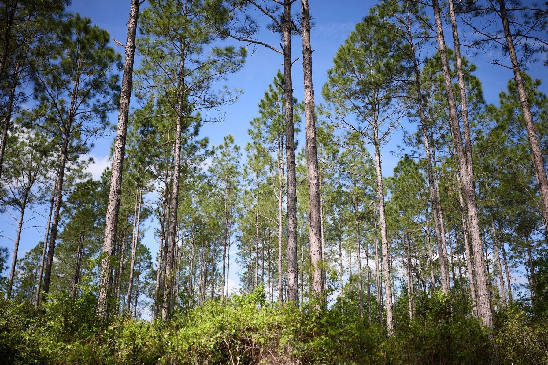
Around 99% of the 250 million acres of BLM-managed land is open for public hunting unless restricted, and National Forests follow similar default-open rules under the Dingell Act.
Before heading out, always confirm any local closure with the field office or local ranger. Zones near western public land can make for some great hunting, but they typically require planning and scouting to break the zones down into huntable parcels.
Method 4: USACE-Managed Land Around Reservoirs
The U.S. Army Corps of Engineers (USACE) administers millions of acres of land generally associated with water resources, such as reservoirs, dams, lakes, river projects, and navigable waterways. This land is not exclusive or restricted; rather, a large portion is assigned for public recreational use, including hunting.
USACE-managed land is often overlooked, and it shouldn’t be. Hunting can be rewarding and less pressured than other public hunting land options. Particularly as you’re hunting managed water sources that often meet forest or feed wetlands.
Before you commit to a hunt, check if the region requires a separate hunting permit or lottery draw, as this will vary by lake and district. There are solid options in the Midwest and South, particularly near reservoirs close to metro centers. The easiest way to ensure everything is squared away is to check the specific lake office hunting page for permit requirements. Get in before the season opens.
Method 5: State-Owned Forests and Parks
Many state forests and parks allow hunting during set seasons, separate from WMAs. State forest and park hunting opportunities are most commonly found in the Northeast and Midwest, where state forest acreage is more accessible than out West. Common target species in state parks include whitetail deer, turkey, elk, and mule deer.
State parks are often open for hunting to fulfill critical wildlife management needs, with clearly marked boundaries and well-regulated seasons. Exploring state forest and park hunting opportunities can uncover public land hidden gems, as these opportunities are often overlooked in favor of WMA opportunities.
State regulations will differ, and rules regarding stands, camping, and seasons vary by property. Always check the specific state forest page for requirements.

Method 6: Hunter Access on Private Land (Permission Knocking)
A hunter access easement is a legal right granted to cross or use someone's land for a particular purpose but doesn't necessarily include hunting rights. However, reaching out to private landowners to ask for permission to hunt their land is the most direct strategy to have a chance at hunting a game-heavy or otherwise inaccessible hunting parcel.
You never know unless you ask, and the easiest starting point is smaller parcels that have less competition for hunting access. Generally, hunters appreciate a direct and professional approach. Having references, first aid qualifications, and a willingness to sign liability waivers can go a long way. This approach can work anywhere; however, success depends on the approach and local landowner relationships.
Method 7: Conservation Program Land (CRP, CREP)
The Conservation Reserve Program (CRP) and Conservation Reserve Enhancement Program (CREP) work with farmers and landowners to encourage enrollment in conservation programs, often converting cropland into habitat.
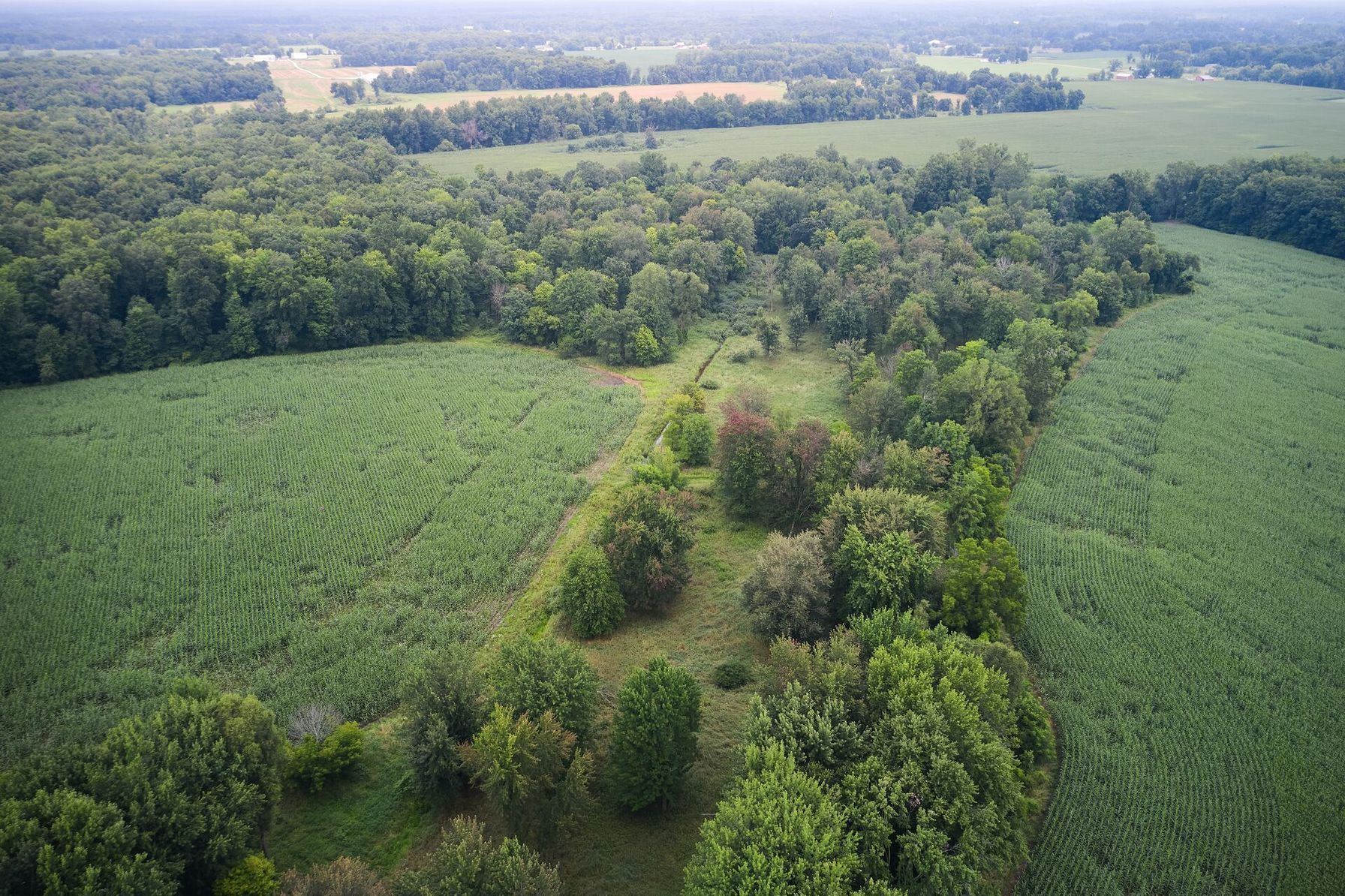
Some of this land gets classified under state walk-in programs, and you’ll find that many WIHA/PLOTS/IHAP acres are CRP ground. Landowners who enroll in the program may receive an additional financial incentive if they open the land up for public hunting opportunities.
States dominated by row-crop agriculture, particularly across the Great Plains, often have higher CRP enrollment because they contain large areas of eligible cropland.
7 Methods to Find Free Hunting Land (Ranked) | |||
|---|---|---|---|
| Method | Effort | Yield | Best States |
| 1. Public land maps (HuntWise) | Low | High | Western states |
| 2. State walk-in programs | Low | Medium | KS, NE, ND, SD, IA |
| 3. USFS / BLM land | Low | Very High | West, Southeast |
| 4. USACE land | Medium | Medium | Midwest, South |
| 5. State forests/parks | Medium | Medium-High | Northeast, Midwest |
| 6. Permission knocking | High | Medium | Everywhere |
| 7. Conservation land | Medium | Variable | Plains states |
How to Find Free Hunting Land (30–Day Plan)
While public land is highly accessible, narrowing down zones into hunting parcels can take time and in-depth scouting, often combining digital scouting and in-person legwork.
Follow the plan below for a complete 30-day breakdown, starting with broad map research and ending with a locked-in public land hunting plan.
- Day 1-3: Open your HuntWise app and toggle the public land feature, setting a 100-mile center from home.
- Day 4-7: Identify the top five candidate lands by access, acreage, and species. Focus on properties that provide the habitat your target species prefers, and check harvest statistics where available.
- Day 8-14: Pre-season scout the top two in person, confirming parking and pressure. Check for cars near trailheads and signs of other hunters.
- Day 15-21: Apply for walk-in or PLOTS access if your state has those programs, or check if there are other application deadlines that you’ll need to fulfill before heading out.
- Day 22-28: Knock between three and five private parcels, starting with the smallest properties for less competition. Offer to take on some additional duties, hunt pests, or share the bounty with the landowner. Present business cards, have the area you’d like to hunt ready to show, and always be courteous. Even if a landowner doesn’t grant permission, they may still pass your details on to others.
- Day 29-30: Lock your hunt plan, marking stand sites and entry routes in HuntWise. Mark some backup locations and quality scouting zones on the HuntWise mapping feature so you can start hunting the second you pack out. Double-check access points, weather conditions, and boundaries.
Turn Free Hunting Land Into Your Next Hunt
Public land hunting is highly rewarding, and there are far more opportunities out there than most hunters realize. Sometimes locking in and uncovering the right public land opportunity is the biggest hurdle. With map-based research using tools like HuntWise and GIS, plus exploring all seven methods discussed, you can discover some elite opportunities.
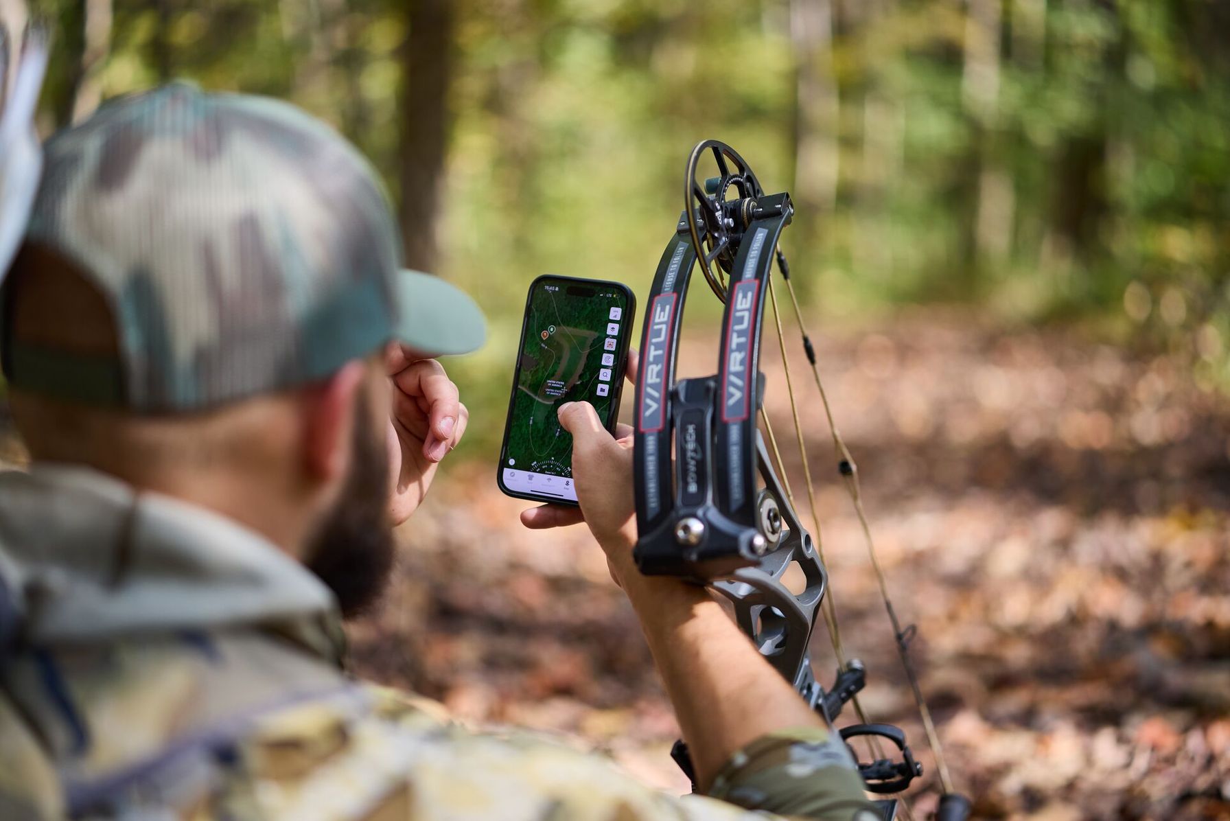
If you’re ready to start exploring public land opportunities near you, start the 30-day plan we outline above this week to get out ahead before the season closes. With your HuntWise free trial, you can map, scout, view public land boundaries on all of the listed classifications, and even contact private landowners for hunting opportunities via the app.
Frequently Asked Questions (FAQs)
Q: Is there really free hunting land anywhere?
A: Yes. Hunters can find hunting access without paying a landowner through public lands such as BLM and USFS acreage, state lands, walk-in access programs, and some USACE-managed properties. However, you still need to follow the applicable state hunting regulations, seasons, and any property-specific restrictions. The BLM says more than 99% of its managed lands are open to hunting unless specifically prohibited.
Q: How do I find free hunting land if I live in an urban area?
A: Start by expanding your map search beyond the immediate area. Look for public land, state hunting areas, walk-in programs, and other access opportunities within driving distance of your city. A hunting map can help you identify potential properties, while your state wildlife agency's maps can confirm hunting boundaries and regulations.
Q: Do I need a special permit to hunt federal land like BLM or USFS?
A: Not necessarily. Federal land generally does not replace your state hunting license or other state-required tags and permits. For example, the BLM says hunters on its public lands must have the required state licenses, and some areas may have additional restrictions or permits. Always check the specific federal property and state regulations before hunting.
Q: What's a walk-in hunting program?
A: A walk-in hunting program opens enrolled private land to public hunting access, usually through an agreement between a state wildlife agency and the landowner. Specific seasons, property boundaries, and program rules typically limit access. Examples include WIHA, PLOTS, and IHAP.
Q: How do I know if land is public or private before I hunt it?
A: Check a current public-land or property-boundary map, then cross-reference it with your state wildlife agency's information. Pay close attention to property lines and access routes, because reaching public land does not necessarily permit you to cross private property. The BLM specifically warns hunters not to enter private land without the landowner's permission.
Q: Can I hunt Army Corps of Engineers land without a permit?
A: Sometimes, but it depends on the specific Corps property. USACE hunting rules vary by lake and district. Some properties require a separate Corps hunting permit in addition to a state license, while others have exemptions for certain types of hunting. For example, West Point Lake requires a Corps hunting permit, while Allatoona Lake does not require one for waterfowl hunting under its listed conditions. Check the specific project's current hunting regulations before you go.
Q: What's the difference between CRP and a walk-in access program?
A: CRP is a conservation program; walk-in access is a hunting-access program. CRP pays eligible landowners to establish and maintain conservation cover on environmentally sensitive agricultural land. A state walk-in program, by contrast, provides public hunting access to enrolled private property. Some walk-in acreage may consist of CRP ground, but being enrolled in CRP does not automatically mean the property is open to public hunting.


