

The easiest way to find the right public hunting opportunity near you is with the HuntWise public land layer, which provides overlays for all 5 categories on a single map. With so many different options, sometimes knowing how to find public hunting land can be the biggest hurdle.
Today, we’re breaking down everything you need to know about public land, including type breakdown, strategies for uncovering opportunities, and how to use the HuntWise land app to discover elite opportunities.
Why Public Land Hunting Matters
Public land hunting is a longstanding tradition offering hunting and outdoor opportunities to citizens who do not own or have access to private acreage. The US maintains one of the most extensive public access frameworks in the world. While popular states and hunting regions may be on the map, there are still large areas of public land that are underutilized outside of these top spots.
Beyond the history, there are conservation, financial, and environmental benefits to public land hunting. Local economies benefit, herd numbers are well maintained, and license and tag revenue goes back into the pot for future conservation and management practices.
While some public land areas can suffer from higher hunting pressure, especially near trailheads and road access points, a solid understanding of land categories and a carefully executed scouting strategy will help you find lower-pressure ground and uncover public land hidden gems in the landscape.
What Are the 5 Primary Types of Public Hunting Land?
Different public land classifications may carry differing rules, requirements, access, and opportunities. The first step in public land hunting is to find the right land for your needs and ensure it has rules that allow hunting. Take some time to explore the hunting regulations and the overview and table below to help you get started.
- Federal land: Agencies include the USFS (National Forests), Bureau of Land Management (BLM), and US Army Corps of Engineers USACE which collectively represent hundreds of millions of acres, predominantly in the western states. Land is managed for outdoor recreation, including hiking and camping, and for resource protection.
- State Wildlife Management Areas (WMAs): WMAs are managed especially for wildlife, fishing, hunting, trapping, and other outdoor pursuits. Hunting these regions will require a license and, in some cases, a WMA permit, which the state wildlife agency will administer.
- State forests and parks: Not all state forests and parks offer hunting opportunities, and regulations vary from state to state. Always confirm with the wildlife agency, confirm access, and double-check with maps to ensure you’re within the right area.
- Walk-in hunting programs: Some states provide financial incentives to encourage private landowners to open their property during the hunting season through programs such as WIHA (Walk-In Hunting Access in Kansas and other plains states), PLOTS (Private Land Open To Sportsmen in North Dakota), and IHAP (Iowa). Access to these parcels may change from year to year.
- County and municipal open space: Some counties and municipalities manage land that permits hunting with appropriate licenses. These opportunities are less common. They are often close to population centers.
Types of Public Hunting Land: What's the Difference Based on Your Hunt?
How do you know which type of public hunting land is best for your hunt? The table below offers a quick comparison of the various types of public land, typical requirements to hunt each type of land, and when to consider them as you plan a hunt.
Best Use Cases for Different Types of Public Hunting Land | ||||
|---|---|---|---|---|
| Land Type | Managing Agency | Scale & Distribution | Permit Required to Hunt | Best Use Case |
| Federal (USFS National Forests & Grasslands) | USDA Forest Service |
| State hunting license only (no federal permit required). Some forests or WMAs within forests may require additional state permits. Verify with local ranger district. |
|
| Federal (BLM) | Bureau of Land Management (Dept. of Interior) |
| State hunting license only. Over 99% of BLM land open to hunting (no federal permit required) |
|
| Federal (USACE Army Corps of Engineers) | U.S. Army Corps of Engineers (Dept. of Defense) |
| State hunting license required. Many projects also require a free or low-cost project-specific hunting permit. Rules vary by reservoir and district. Contact the local lake office to confirm. |
|
| State Wildlife Management Areas (WMAs) | State fish and wildlife agencies (DNR, Game and Fish, Fish Wildlife & Parks, etc.) |
| State hunting license required in all cases. Many states require a separate WMA permit or stamp. Some high-demand WMAs use a quota draw system. Always verify state-specific requirements |
|
| Walk-In Hunting Programs (WIHA, PLOTS, WIA, OFW, and others) | State wildlife agencies in partnership with private landowners. USDA NRCS programs (e.g., CRP) support many enrolled acres. |
| State hunting license only (no additional permit required to access enrolled land). Enrollment maps change annually. Verify through state agency before each season. |
|
| State Forests & Parks Open to Hunting | State forestry or parks agencies (separate from state fish and wildlife agencies in most states) |
| State hunting license required. Some state forests require no additional permit, while many state parks require a park entry fee, a quota permit, or species-specific restrictions. Rules vary by property. |
|
| County & Municipal Open Space | County governments, municipal parks departments, conservation districts, land trusts |
| State hunting license required. Many properties also require a free local access permit. Bow-only restrictions and limited season dates are common. Check with the managing entity directly. |
|
What is Federal Public Hunting Land? USFS, BLM, and USACE
Federal public lands are public hunting areas that permit hunting under federal legislation. For example:
- USFS (National Forests and Grasslands): Areas managed by the U.S. Forest Service are generally open to hunting where permitted. Hunting seasons, licensing requirements, and regulations typically follow the relevant state laws.
- BLM land: The Bureau of Land Management is the largest category of federally managed land open to hunting. These areas are concentrated in the western states, and access varies by unit. You can use the BLM recreation map to identify units near you.
- USACE (Army Corps of Engineers): This agency manages reservoirs and attached land across the country. Hunting is permitted; however, rules and access will vary by project. These areas are often overlooked compared to the USFS and BLM options; however, they are often less pressured.
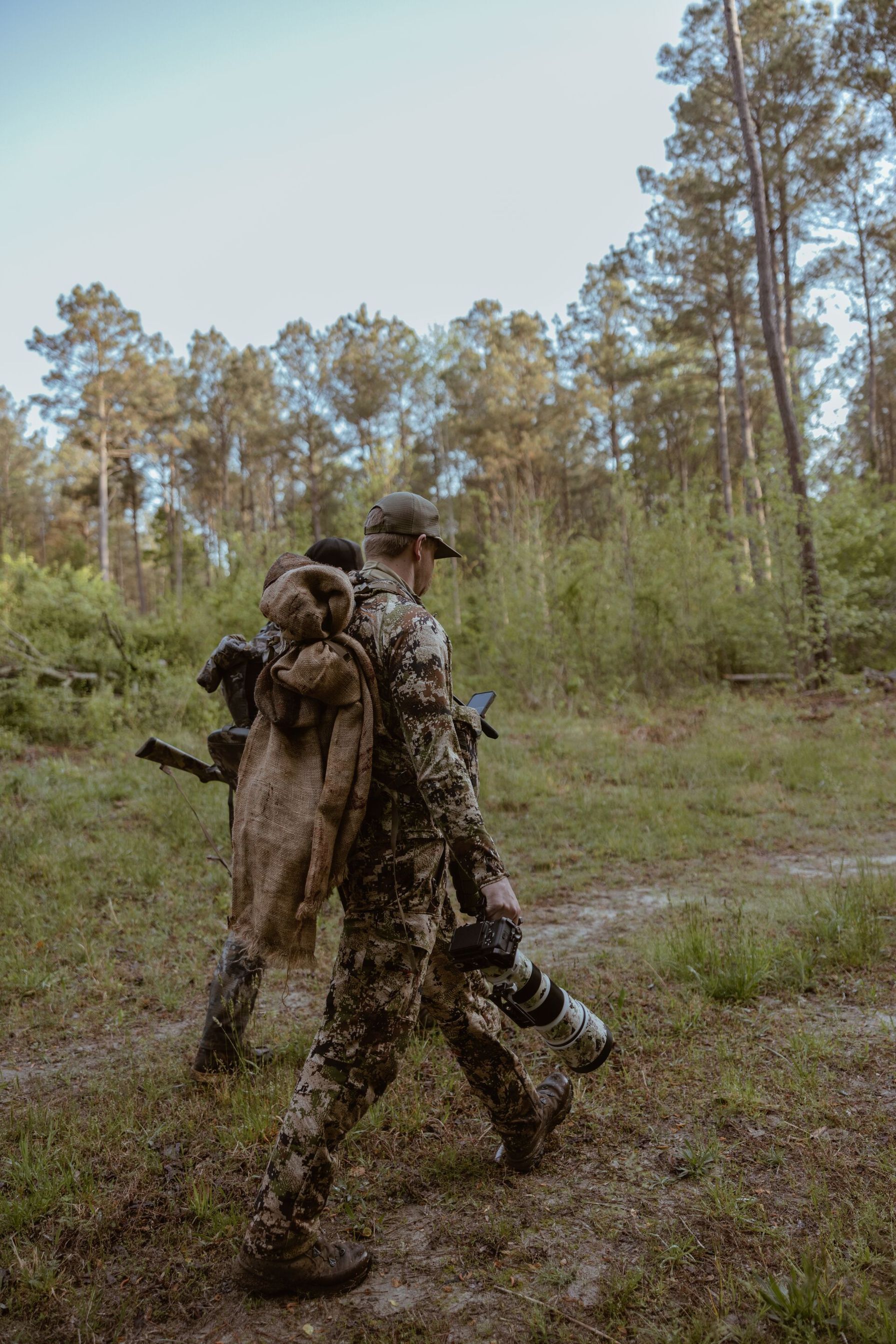
A state hunting license is required to hunt on federal public lands, and regulations typically follow state regulations. Always confirm with the relevant agency if you’re unsure.
What Are State WMAs? Managed for Wildlife, Open to Hunters
WMAs are especially managed for wildlife habitat and hunting access with a strong focus on conservation and preservation for future generations. WMAs are among the most popular hunting zones in the country, offering opportunities to hunt in rich, incredibly biodiverse habitats.
Access and quality change depending on state, size, and the species management objectives. Some WMAs may require a separate permit or lottery draw, or impose different season dates beyond that standard region.
Use the HuntWise WMA boundary view to compare terrain and features across WMAs and find one that suits your hunting plan, fitness level, access requirements, and schedule.
What Are Walk-In Hunting Programs? Private Land, Public Access
Walk-in programs open up private farmland and ranchland to the public without the need for leases or private landowners' permission. State wildlife agencies compensate participating farmers and voluntarily participate in the program.
Public access programs differ from state to state. However, popular options include WIHA (Walk-In Hunting Access — Kansas, Nebraska, and other plains states), PLOTS (North Dakota), and IHAP (Iowa).
As landowners sign agreements with state agencies, enrollment can change from year to year. Always check with your relevant agency and consult the current-season maps to confirm participation.
Walk-in land is typically under pressure compared to popular public land options, as hunters may not be aware of the programs or how they function.
When taking part, always be respectful of the landowner. Leave gates as found, pack out trash, and avoid damaging fencing, livestock, or property.
What Are State Forests, Parks, and Municipal Open Spaces?
Some state parks and forests offer hunting opportunities, often with varied access and local restrictions, seasons, and species-specific regulations. They are typically less pressured than WMAs as they’re less well known and quality hunting zones differ.
County and municipal spaces are the most overlooked of all public hunting land packages. These are small pockets of land often close to cities.
Use the HuntWise layers and overlay state-level public designations to view potential hunting locations. Cross-reference zones with state agency websites and make note of current access rules.
How to Use HuntWise to Find Public Hunting Land Near You (Step-by-Step)
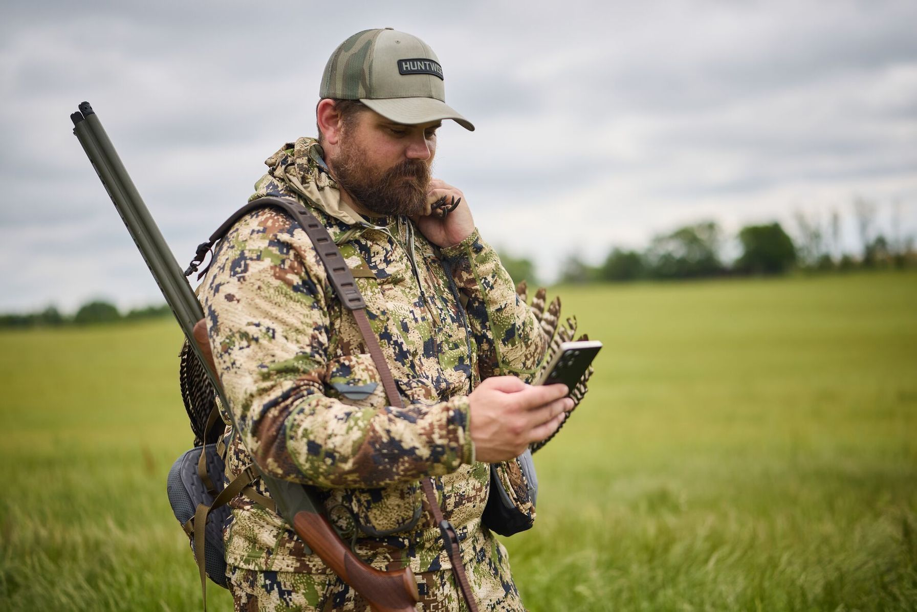
The first step to how to find public hunting land is to identify suitable hunting areas. Follow the steps below for a thorough, accurate, and replicable strategy to uncover ideal public land locations using the HuntWise mapping app.

- Open HuntWise and navigate to the Map Layers menu on your screen. Under the Land Ownership tab, toggle the Public Land layer ON to display all public land category options on the map.
- Filter by federal land agencies such as the Bureau of Land Management, US Forestry Service, and US Fish and Wildlife to identify the parcels that you have access to in your target region. Don’t overlook smaller parcels of land, as larger tracts or those with easier access may be subject to more hunting pressure. I usually also include National Park Service and American Indian Areas, even though I may not have the required special access. These areas can hold animals that may drift in and out of these lower hunting pressure areas.
- Add state land to your filter to locate properties such as wildlife management areas or state land trusts with dedicated wildlife habitat.
- Scroll through the State Layers menu and toggle ON your state's walk-in access hunting program enrollments and Public Hunt Access Points within the app where applicable. These leases or easements can grant access to other public parcels that might otherwise be landlocked.
- Use HuntWise to identify likely access points such as road pull-offs, trailheads, and other parking areas. This information, combined with surrounding terrain features using the Hillshade (lidar) mapping baselayer or 3D maps, can be extremely useful for determining how easy it is to get into and navigate around a property, and the likelihood and direction of other hunting pressure an area may receive.
- Plan a trip to pre-season scout your top three or four locations in person before opening day. This will give you a couple of options to work with and confirm your e-scouting efforts for access. Lots of pre-season scouting can be done with maps from HuntWise, but in-person scouting is invaluable for current conditions and the ability to find fresh sign.
Even when hunting public land, it’s still possible to encounter parcels of private holdings scattered amongst the land holdings. When in the field, use the HuntWise app to view public and private land demarcations clearly.
What to Do When There's No Public Land Near You
If you’re unable to access public hunting land due to a scarcity of options, your first step should be to check the walk-in programs for any participating local landowners. This will allow you to get out and hunt without putting in a long drive to an unfamiliar hunting environment.
Failing that, you can leverage the HuntWise landowner contact information to reach out to private landowners and request hunting permission directly from the app. Another option could be to join a local hunting club, which may lease land to provide hunting opportunities for members.
Check out the video below to learn more about using HuntWise map layers to find hunting land this season!

Use HuntWise to Put More Public Land to Work for You This Season
Public land hunting offers a true DIY hunting experience in some of the most pristine natural environments on the globe. When hunting pressure gets high, or you’re looking to explore new hunting locations, look beyond the common WMAs to all five: Federal Land, State Wildlife Management Areas (WMAs), State Forests and Parks Walk-In Hunting Programs, and County and Municipal Open Space for elite hunting opportunities.
Knowing and considering all options in depth with the HuntWise app will help you avoid much of this hunting pressure and build a base of new public-land hunting locations you might not have considered.
To get started, enjoy a free trial of the HuntWise app and start mapping all the different public hunting land categories in one session to explore and compare.
Frequently Asked Questions (FAQs)
Q: How much public hunting land is there in the US?
A: The federal government alone owns roughly 640 million acres, and state and local governments hold another 199 million acres, much of which is open to hunting under state regulations. Together, this adds up to hundreds of millions of huntable acres spread across national forests, BLM land, state wildlife management areas, and other public tracts. The amount available to you personally varies enormously depending on which state you're in, since western states hold the vast majority of federal acreage.
Q: What is the difference between a WMA and a national forest for hunting?
A: A WMA is state-owned land managed specifically for wildlife and hunting, so rules tend to be more detailed and area-specific. Many states require an additional WMA permit or stamp on top of your hunting license. A national forest is federally owned and managed by the US Forest Service for multiple uses (logging, recreation, grazing, and hunting among them), and it's generally open to hunting with just your standard state license. In the eastern US, WMAs are often the primary public hunting option, while national forests dominate public land access out west.
Q: How do walk-in hunting programs work?
A: Walk-in programs let private landowners voluntarily enroll their property in a state-run access program, usually in exchange for a per-acre payment or other incentive from the state wildlife agency. Once enrolled, that land is open to any hunter with a valid license during posted dates, without needing to ask the landowner directly. You still have to follow the specific rules for that tract (parking areas, vehicle restrictions, and season dates can vary), so always check the current year's walk-in atlas or app before you go.
Q: Is BLM land open to hunting?
A: Yes, BLM land is generally open to hunting for residents and non-residents alike, and you don't need a separate BLM permit beyond your state hunting license and tags. This includes most wilderness study areas, which allow hunting even though they restrict things like motorized access. A small number of areas are closed for wildlife protection, safety, or seasonal reasons, so it's worth checking with the local BLM field office if you're hunting somewhere unfamiliar.
Q: How do I find walk-in or PLOTS land near me?
A: Most states with these programs publish an annual walk-in or PLOTS atlas, either as a downloadable PDF or an interactive map on the state wildlife agency's website. These maps show exact tract boundaries, acreage, parking spots, and any tract-specific restrictions. A hunting app like HuntWise can also layer this public access data directly onto your map alongside property lines, so you can scout walk-in tracts the same way you'd scout any other public ground.
Q: What if there's no public hunting land near me?
A: If public land is scarce in your area, look into leasing private ground, joining a local hunting club, or reaching out to landowners directly for permission (a respectful introduction and a permission form go a long way). Neighboring counties or a short drive to an adjacent state can also open up more options, especially if you're willing to travel during the season. Mapping tools that show property lines and ownership, like HuntWise, make it easier to identify who owns land near you so you know exactly who to approach.
Q: Do you need a special permit to hunt on a WMA?
A: In many states, yes. WMAs commonly require a separate area permit or WMA stamp in addition to your standard hunting license, and some areas add further requirements like daily check-in or species-specific tags. This varies significantly by state, so always confirm the exact requirements for the specific WMA you plan to hunt before heading out.


