

Hackberry Flat WMA near Frederick is a common first stop, with a 3,700-acre wetland development unit, about 90 water control structures, and 35 miles of dikes.
A pipeline delivers 2,400 acre-feet of water to Hackberry Flat each year, but ODWC says most of the water in its wetland units comes from rainfall runoff. That means the number of flooded units changes from season to season. You’ll also need an Oklahoma hunting license, an Oklahoma Waterfowl License, a Federal Duck Stamp, and a HIP permit, and waterfowl shooting hours close at 1 p.m. on the WDUs.
HuntWise helps you plan around those limits. Our public land layer outlines each WMA on satellite imagery, so you can pin your entry road and study the dikes before you drive out. If you hunt other states too, public land hunting access works much the same way, and this guide covers the Oklahoma steps, the main areas, and the closures that matter.
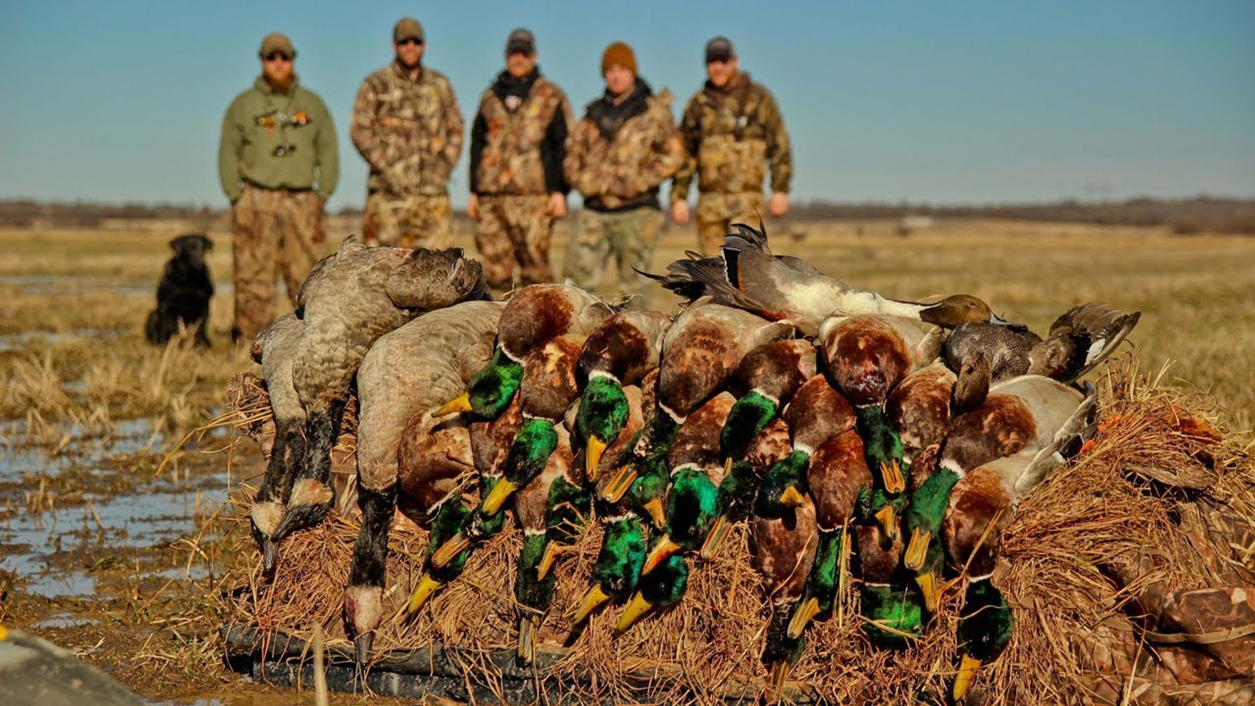
How to Find Public Waterfowl Hunting Land in Oklahoma: Five Steps
Oklahoma’s marshes fill on rainfall and close at 1 p.m., so these steps start with your license and end with the water report.
- Turn on the public land layer in HuntWise. Open HuntWise mapping layers, enable the public land layer, and zoom to Tillman County in southwest Oklahoma. The Hackberry Flat outline appears over satellite imagery, so you can see the dikes, the roads, and the shape of each wetland unit.
- Get licensed. Waterfowl hunters need an Oklahoma hunting license, an Oklahoma Waterfowl License, a Federal Duck Stamp, and a HIP permit, unless exempt. Nonresidents also need a game bird permit on WMAs, and the nonresident five-day license isn’t valid for waterfowl.
- Read the ODWC waterfowl report. ODWC biologists post conditions for about two dozen areas, including Hackberry Flat, every other Thursday through the season. The ODWC waterfowl reports show which units hold water and how hard each area is being hunted.
- Match your dates to your zone. Oklahoma splits ducks into the Panhandle counties and Zones 1 and 2, and Hackberry Flat follows the Zones 1 and 2 calendar. The ODWC duck season dates list both segments and the youth, veteran, and military days.
- Know which part of the area is open. ODWC closes the 4,000-acre wetland reserve portion of Hackberry Flat to public access and duck hunting from October 15 through January 31. Check the area map before you set up.
ODWC’s Hackberry Flat WMA details cover acreage, directions, and a hunting contact number: (405) 823-8425.
What to Pack and Confirm Before You Hunt Oklahoma Wetlands
Ducks tend to move behind weather, so spend time on timing your duck hunts before you pick a trip. Most Oklahoma WDU hunters carry the same core items:
- Your hunting license, Oklahoma Waterfowl License, Federal Duck Stamp, and HIP permit, unless you’re exempt
- Federally approved non-toxic shot only, since possessing lead shot on a WDU is prohibited
- A shotgun that holds no more than three shells in the magazine and chamber combined
- A water plan that fits the rules, because Hackberry Flat is closed to air-driven watercraft and you can’t shoot from a motorboat unless the motor is off and the boat has stopped
- A downloaded HuntWise map with pins on your parking spot and entry road
Plan on retrieving every bird you drop, since Oklahoma law requires hunters to retrieve downed migratory game birds when possible. Pack waders and a retrieval plan for deeper units.
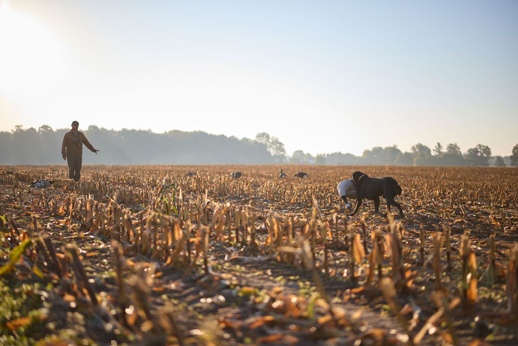
Waterfowl Hunting Areas in Oklahoma
Five public options give you a starting list, from southwest rain-fed basins to a permit-based lake. Because rules shift from area to area, the WMA hunting rules page helps before you choose.
Oklahoma Waterfowl Hunting Areas | |
|---|---|
| Area Name | Rules |
| Hackberry Flat WMA (Tillman County) | The 3,700-acre wetland development unit relies mostly on rainfall runoff. Hunting hours end at 1 p.m., and the 4,000-acre wetland reserve portion closes October 15 through January 31. |
| Red Slough WMA (southeast Oklahoma) | The area manages a large set of wetland units, some with controlled flooding. The wetland reserve portion closes October 15 through January 31, and WDU hunting ends at 1 p.m. |
| McClellan-Kerr WMA (eastern Oklahoma) | ODWC pumps the Billy Creek and Chouteau units, and WDU hunting ends at 1 p.m. Vann’s Lake Refuge stays closed except to controlled hunt permittees. |
| Grassy Slough WMA (southeast Oklahoma) | Six wetland units fill mainly from rainfall. The area is closed to air-driven watercraft, and WDU hunting ends at 1 p.m. |
| Sooner Lake (OG&E-owned) | Waterfowl hunting runs by permit in designated areas on Tuesdays, Thursdays, Saturdays, and Sundays. Hunters follow blind drawing procedures posted at the east boat ramp. |
How a Hunting App Helps You Scout a Rain-Fed Marsh
A rainfall-dependent marsh looks different every season, so satellite imagery earns its keep. In HuntWise, you can trace the dikes and roads to each unit, then check ODWC’s report to see which of those units actually hold water.
Because the wetland reserve portion closes to public access from mid-October through January, understanding property boundaries before you walk a dike keeps you out of closed ground. Download your hunt area at home so the map still loads once you’re out on the flat.
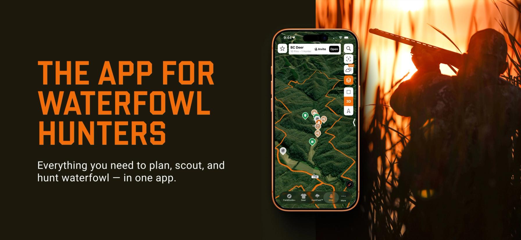
Finding Public Waterfowl Hunting Land in Oklahoma Is Easier with HuntWise
Public waterfowl hunting in Oklahoma rewards hunters who follow the water. Get licensed, read the biweekly report, confirm your zone’s season, and learn which portion of the area is open before you drive out.
HuntWise shows each WMA before you go, so you can arrive at the gate with your route and your boundaries already marked.
Frequently Asked Questions (FAQs)
Q: What is the best public waterfowl hunting land in Oklahoma?
A: Public waterfowl hunting land in Oklahoma centers on ODWC’s wetland development units, and Hackberry Flat WMA in the southwest is a common starting point. Conditions depend on rainfall, so Red Slough, McClellan-Kerr, and other areas can be stronger in some years.
Q: How big is Hackberry Flat Wildlife Management Area?
A: ODWC lists Hackberry Flat WMA at 7,566 acres, while older maps and articles show 7,120 acres. The area includes a 3,700-acre wetland development unit and a 4,000-acre wetland reserve portion.
Q: How does ODWC keep water on the wetland units at Hackberry Flat?
A: ODWC manages water at Hackberry Flat with about 90 water control structures, 35 miles of dikes, four miles of canals, and a pipeline that delivers 2,400 acre-feet each year. Most of the water still comes from rainfall runoff, so the number of flooded units varies from season to season.
Q: Is Hackberry Flat easy to scout by vehicle?
A: Much of Hackberry Flat can be scouted by vehicle, since a network of dikes and roads crosses the area. An ODWC biologist notes that visitors can watch waterfowl from their vehicles, but the wetland reserve portion closes to public access from October 15 through January 31.
Q: Does ODWC plant feeding fields at Hackberry Flat?
A: Yes, ODWC plants feeding fields at Hackberry Flat for both dove and waterfowl. The department plants milo, millets, and wheat on about 1,300 acres each year, so confirm with ODWC that hunting is legal in a field before you set up.
Q: Can HuntWise show me Hackberry Flat’s wetland units?
A: HuntWise can show Hackberry Flat through its public land layer, which outlines the WMA on satellite imagery. For unit names and flooding status, rely on ODWC’s area map and waterfowl report, since conditions change with the rain.
Q: Where is Hackberry Flat WMA located in Oklahoma?
A: Hackberry Flat WMA sits in southwestern Tillman County, southeast of the town of Frederick. ODWC’s directions start in Frederick on U.S. Highway 183 and continue on county roads to Benson Road.
Q: How do I download Oklahoma waterfowl area boundaries for offline use?
A: To download Oklahoma waterfowl area boundaries for offline use, draw a hunt area around your WMA in HuntWise and save it on Wi-Fi before you travel. The saved map keeps your pins and boundaries loaded on the map, even when your signal fades.


