

Keep it simple by comparing previous years' satellite imagery across past October–November seasons to mark potholes that held water in dry years. Waterfowl follow patterns, and these habitats that provide food, cover, and water with low hunting pressure are highly productive.
To help you e-scout waterfowl, we're breaking down key terrain features, including vegetation rings, isolated potholes/oxbows, and flight lines that connect roost water and food sources. We're also exploring how HuntWise allows you to plan the ultimate waterfowl hunt, with satellite/topo layers, land access data, and walk-in distance measurement, offering an all-in-one waterfowl e-scouting and in-field solution.
What Is E-Scouting for Waterfowl?
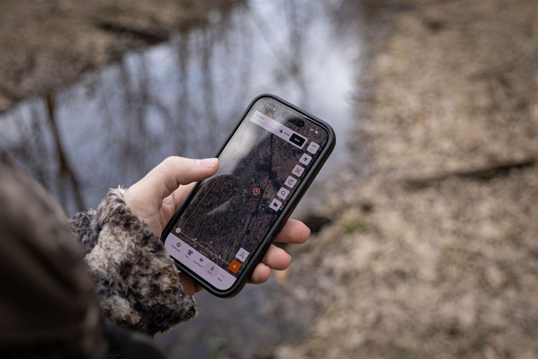
E-scouting for waterfowl is a digital process that involves reconnaissance of potential hunting zones using satellite, topo, and historical imagery. Unlike deer hunting, where a game species usually inhabits a familiar range, waterfowl move daily in migratory patterns, searching for food, water, and cover.
This calls for a more active e-scouting approach to knowing how to scout duck hunting spots. While one spot may look promising, we recommend marking several potential locations to match these habitat conditions.
Recognizing these locations isn’t always easy. Below, we’ll cover how to use a hunting app to identify key visual signals that point to the environments waterfowl love.
How to E-Scout Waterfowl Habitat From Your Phone Before Season
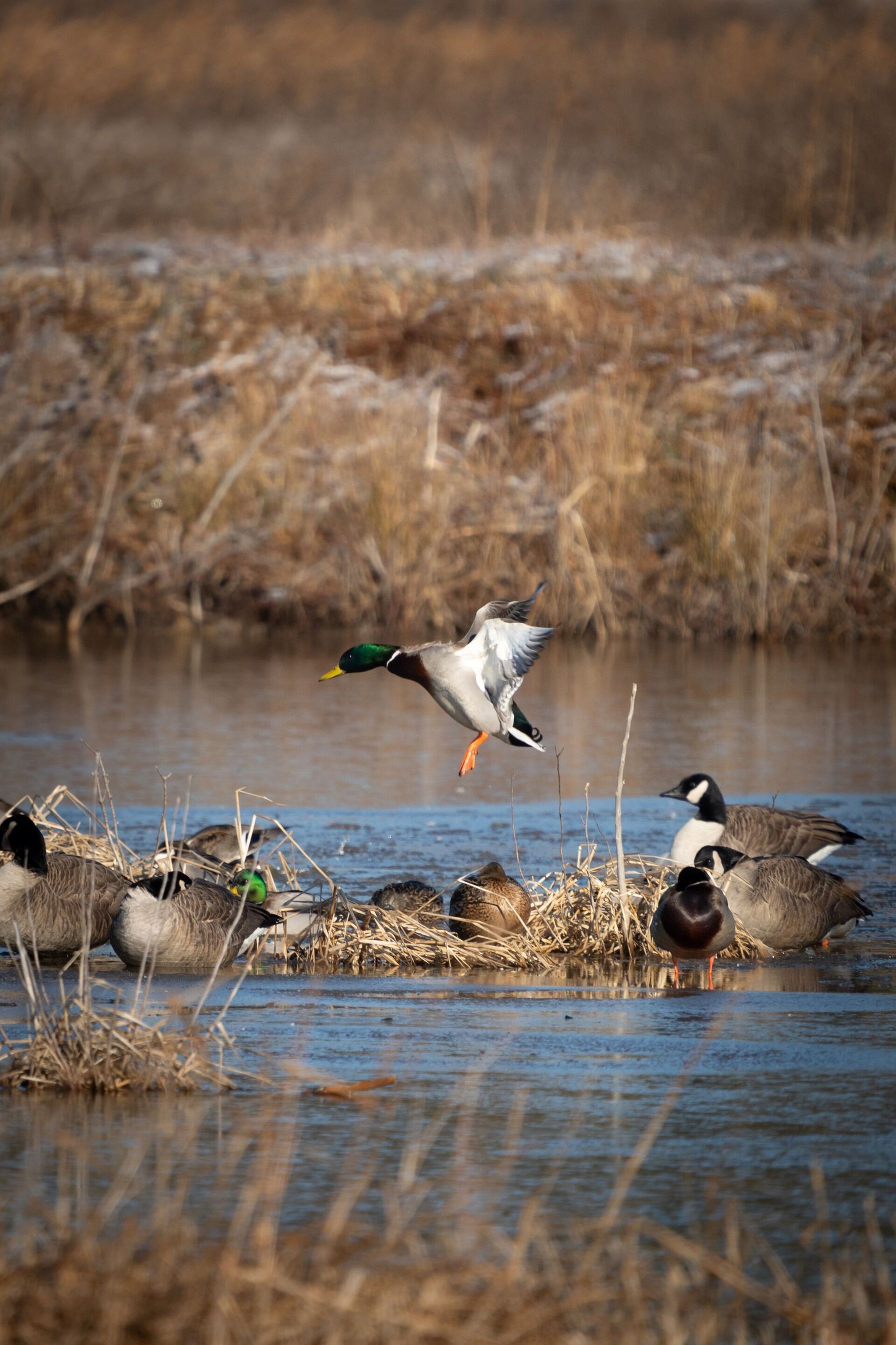
There’s no such thing as too much pre-season scouting in waterfowl hunting. Openers are hotly anticipated, and landowners who may offer their land appreciate an early request before the season kicks off.
Follow the steps below for a simple, step-by-step overview of the pre-season process to kickstart your e-scout waterfowl plan with HuntWise mapping.
- Open your HuntWise app to the satellite overview to scout main body water sources such as marshes, potholes, or river systems in your intended hunting zone.
- Pull up historical imagery from previous October–November seasons to compare historic water levels, particularly during dry and wet seasons.
- Focus on green and yellow vegetation rings and scout wetland edges for duck hunting. Cattails, smartweed, and flooded corn are popular shallow-water vegetation hotspots for ducks.
- Mark isolated potholes, oxbows, and wind-blocking locations that may hold puddle ducks. Ducks may sit happily in open water, but when the wind picks up and temperatures cool, they’ll start seeking stronger cover. To find potholes on a map, look for blue dots, especially on rolling terrain. If close to recently harvested grain, even better.
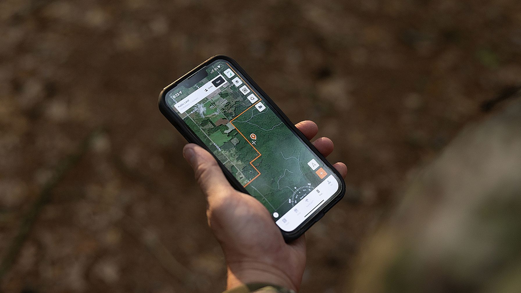
- Toggle the property lines layer to view grain fields close to public water for high-traffic flight-line marsh.
- After marking potential hunting areas, confirm the distance to the nearest parking or boat ramp. Don’t forget to download offline maps before opening day in case of patchy cell service, and check your gear.
Use the strategy above to find duck-hunting spots worth checking out in person. Narrowing down your list can save you time before opening day. Follow this flow whether you’re hunting public land, private land, or waterfowl production areas.
In the Prairie Pothole Region, waterfowl production areas are highly popular, so scout neighboring wetlands as well.
Waterfowl Habitat Signals to Look For From Satellite Imagery
Potential waterfowl hunting areas can come in many shapes and sizes. Knowing how to scout effectively by looking for visual signs that create enticing waterfowl environments will help you plan more efficiently.
Use the guide below to know exactly what to look for when e-scouting with satellite maps.
Scouting Waterfowl Habitat: Signals to Look for | ||
|---|---|---|
| Visual Signal | What It Means | Hunting Application |
| Green/yellow vegetation ring | Cattails, smartweed, or flooded corn | Food and cover (high-percentage hunting zone) |
| Isolated pothole or oxbow | Quiet water off main channel | Puddle duck holding water |
| Point or island | Wind-blocking terrain | Potential blind location |
| Large open water body | Deep, exposed roost | Night roost, not a hunting spot |
| Mudflat with receding water line | Moist-soil seed exposure | Feeding area as water drops |
After identifying the markers, run through the scouting flow to determine if the habitat is worth measuring the walk-in distance and to confirm access. From there, head out into the field with some binos to get a feel for the landscape.
Pre-Season E-Scouting Checklist
Conditions change year to year, but waterfowl follow daily travel patterns, so keep an eye on popular sites before the season starts. Check off each item on this quick e-scouting checklist to be ready for a successful opening day.
- Use historical satellite imagery to compare waterfowl hunting spots from the last two or three seasons.
- Check for vegetation rings, potholes, and points that may continue to attract waterfowl next season.
- Use HuntWise’s property line layer to look for feeding fields near public marshes.
- Measure the approximate flight line between root water and food sources.
- Measure the walk-in distance from a nearby road, boat ramp, or parking lot.
Consider this list your final pass before gearing up and heading out.
Turning Habitat Signals Into a Hunting Plan
Base your e-scouting and hunting plan on what waterfowl need. Vegetation provides access to food and cover while the water provides loafing and feeding opportunities.
At this stage, it may also be worth considering hunting pressure and the popularity of a particular location. After mapping these factors, draw flight lines between them to show where birds may be, how they move through the environment, and the best locations to set up your blind. For a hotspot that provides food and cover, scout flooded fields for ducks, especially as ducks love leftover grain.
Weather impacts how waterfowl use these habitat features. A storm front, especially with rain and wind, will push ducks out of open water toward cover at water edges, coves, and green timber openings. Windy, overcast days are some of the best times to hunt waterfowl, as they actively feed and keep lower flight patterns.
On nicer days with clear skies, ducks may be more spread out, but they will follow the same flight-line patterns (this is where in-person scouting is key). For easier planning, a tool like HuntCast, which aggregates weather insights, barometric pressure trends, and other data, will show you the highest-impact times to get out in the field.
Find the Birds Before You Leave the House
Successful waterfowl hunting starts with successful e-scouting. By using the strategies above, you’ll target high-percentage hunting locations instead of guessing when the season opens or scouting bodies of water from your truck.
Hone in on three key features: vegetation rings, isolated potholes/points, and roost-to-food flight lines for waterfowl environments, and keep an eye on upcoming weather for better hunting outcomes.
For smarter scouting and targeted weather insights, consider using HuntWise for the ultimate pre-waterfowl hunt checklist. You can also try a free trial of the Pro or Elite version to access features like property lines to plan near agricultural fields, or reach out to private landowners to inquire about private hunting opportunities.
Frequently Asked Questions (FAQs)
Q: What is e-scouting for waterfowl?
A: E-scouting for waterfowl is the process of using digital maps, satellite imagery, and historical data to identify potential duck hunting locations before visiting them in person. Hunters look for wetlands, potholes, vegetation, feeding areas, and routes between roosting and feeding locations. E-scouting helps narrow down potential spots and plan access before opening day.
Q: How do I tell if a pothole will hold water on opening day?
A: Compare satellite imagery from the same time of year across several previous seasons, including dry years. Look for potholes that consistently show standing water or wetland vegetation. Low-lying depressions and areas with surrounding wetland cover may also indicate places that retain moisture. However, past imagery cannot guarantee current water levels. Recent rainfall, drought, snowmelt, and local water management can all affect whether a pothole holds water on opening day.
Q: What does a green vegetation ring on satellite imagery mean for duck hunting?
A: A green ring around a wetland or pothole can indicate vegetation growing along the water's edge. Plants such as cattails and smartweed may provide food and cover for waterfowl, making these areas worth investigating. Look for a mix of shallow water and vegetation rather than assuming every green ring is flooded or suitable duck habitat.
Q: How do I find the flight line between a roost and a feeding area?
A: Start by marking likely roosting water and nearby food sources, such as flooded fields, harvested grain fields, and wetlands with aquatic vegetation. Then, use satellite imagery to identify the approximate route connecting these locations. Confirm the pattern by observing ducks at dawn and dusk with binoculars, noting their direction of travel and where they land. Keep in mind that flight patterns can change with weather, food availability, and hunting pressure.
Q: Can HuntWise show private land next to public waterfowl marsh?
A: Yes. HuntWise offers public land and property ownership map layers that can help you identify private parcels bordering public marshes and wetlands. Toggle on the relevant land ownership and property line layers to view boundaries and identify nearby private landowners. Available map layers can vary by state.
Q: How far in advance of the season should I start e-scouting?
A: Start several weeks to a few months before opening day. This gives you time to compare historical satellite imagery, identify potential hunting locations, check access, and contact private landowners for permission. Continue monitoring weather, water levels, and habitat conditions as the season approaches, since these factors can change where waterfowl gather.
Q: Do I still need to scout in person after e-scouting from my phone?
A: Yes. E-scouting helps narrow down potential locations, but an in-person visit lets you verify water levels, vegetation, access, and whether ducks are using the area. Use binoculars to observe flight patterns and feeding activity without disturbing the birds. Habitat that looks promising on a satellite map may not hold water or attract waterfowl when you arrive.


