

- Cadastral data freshness (monthly refresh is standard)
- GPS accuracy in tree cover
- Offline map availability for remote hunts
- Public/private overlay clarity
- Trespass-alert functionality at the boundary
Having accurate boundary data is more than just knowing where to hunt. Outdated or inaccurate boundary information can lead to trespassing and private land issues, fines, and the loss of access or hunting privileges.
Use this guide as a checklist to evaluate the five necessary features of a hunting app with property lines. Find an app that’s right for you and your hunting requirements.
Hunting App with Property Lines: 5 Important Features | ||
|---|---|---|
| Feature | Why it Matters | What to Look For |
| Data freshness | Boundaries change with property sales |
|
| GPS accuracy | Tree canopy and terrain degrade GPS signal |
|
| Offline maps | Deep timber and backcountry have no cell service | Ability to download by area or grid square before you go |
| Public/private overlay | Fast visual ID prevents accidental trespass | Color-coded layers with adjustable opacity |
| Trespass alert | Real-time warning before you cross a line | Push notification or vibration alert at boundary edge |
5 Features to Look For When Choosing a Hunting App With Property Lines
Hunting maps with property lines are invaluable when you’re out in the field. They let you know exactly where you stand, not only to avoid trespassing but to seek out potential private hunting opportunities you might not have considered.
Let’s take a closer look at the five key features every hunting app with property lines should have.
Feature 1: Data Freshness
In most cases, parcel data originates from county- and sometimes state-level cadastral documentation and is compiled by third-party GIS providers before it hits the app. For example, New York parcels are county-based and compiled into a statewide parcel map program.
The refresh cadence can vary by county and state. Coverage and update frequency also vary, as not all counties make their data publicly available or allow statewide redistribution. Additionally, some may update quarterly while others annually. National boundary updates are also variable.
Before you settle on a hunting app, ask: Does it disclose its data source and last update date? If it's not clear, reach out to the team to inquire. A high-quality app will be fully transparent about where the boundary data comes from.
Feature 2: GPS Accuracy Under Tree Cover
While GPS is typically accurate in open areas of roughly 3 to 15 feet, dense tree cover can reduce positioning accuracy. Apps that use basic GPS chips without additional filtering can place you 30 feet or more away from your actual position. This inaccuracy increases your risk of accidentally crossing property boundaries or even setting up your stand in the wrong location.
To combat this, a quality property line app for hunting will leverage Kalman filtering (used in high-accuracy GPS), which reduces this drift by smoothing discrepancies and leading to more accurate placement data.
To test this, head out into the field and hunt near a known boundary corner or a known landmark. This will allow you to confirm the coordinates with your position reliably.
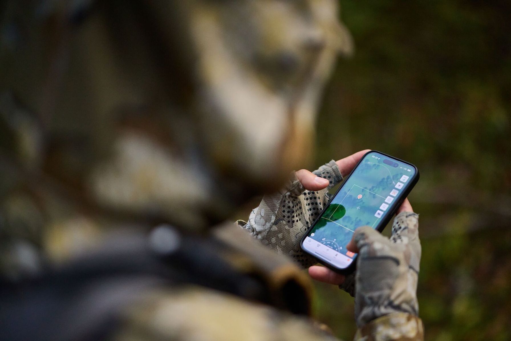
Feature 3: Offline Map Availability
Offline mapping is a big one to look for in a mapping feature, as service is never guaranteed out in the field and can sometimes be patchy at best.
This is a must-have for backcountry hunters as service can disappear, especially in roadless timber and canyon country. An app without offline map capabilities or that requires live data is useless, especially in quality hunting units.
When considering a hunting app, look for one that lets you download by area, not just cached tiles that disappear when you zoom in. This means features such as topo, property lines, and satellite should still be included.
Before your hunt, confirm offline functionality by switching your phone to airplane mode and verify that both the base map and property line layer are still visible.
Feature 4: Public/Private Overlay Clarity
Top hunting can be found at the boundaries between public and private landholdings. A quality app should clearly distinguish public from private land using color-coded layers.
Additionally, look for an app that lets you view satellite imagery or topographic maps beneath the property overlay. Adjustable opacity controls improve visibility and provide greater context when navigating property boundaries and terrain.
To get started, toggle the layer on and off to confirm color contrast is clearly visible both in sunlight and at a glance. This will help with faster decision-making, especially when hunting near private boundaries. Overall, hunting maps with property lines should prioritize legibility over data volume.
Feature 5: Trespass Alert Functionality
Some apps offer proximity alerts, such as a vibration or push notification, when you’re approaching private land or a boundary. When you’re focused on a stalk and not watching your map, the alert can keep you legally compliant without interrupting your concentration.
When assessing an app, confirm whether alerts require cell service or work purely via GPS (the latter is more reliable in remote terrain). Before committing to an app, check whether alerts require cell service or rely solely on GPS (the latter is more reliable in remote terrain).
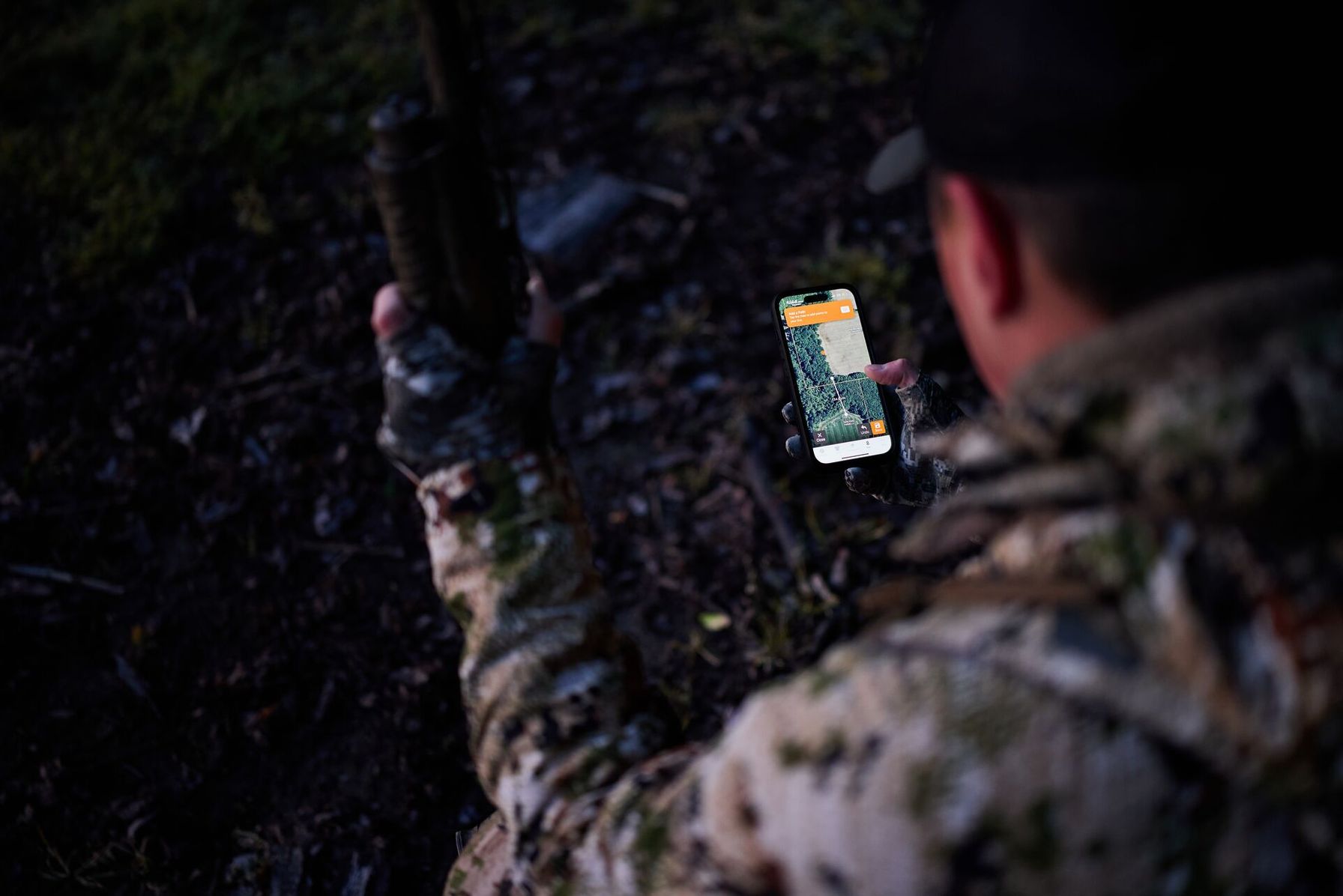
How to Evaluate an App in 5 Minutes
When choosing a hunting app to find land, take the time to evaluate the features and capabilities before committing to an option. Use the following steps to assess whether a hunting app is right for you.
- Download the app and test it in a hunting area or parcel near you.
- Compare the app's GPS function against your county GIS viewer to test accuracy.
- Keep the app open and head to a known boundary corner, such as a fence post or survey marker, to verify the pin accuracy on your app.
- Next, toggle the property line layer on and off to check color contrast and readability, particularly in sunlight.
- Check offline functionality by switching to airplane mode and ensuring that the map and property lines remain visible.
- Run this evaluation through several apps before settling on one option.
You might even check whether the app offers a free trial period to test the mapping functionality and other features.
Why Property Line Data Goes Wrong
Most apps rely on GIS records, which can be updated at varying time frames (some quarterly and some annually). Land is constantly being bought and sold, and rural parcel sales, particularly in low-density counties, may not appear in the records for months after recording.
The lag in county records and what apps display is where many hunters get burned. Always keep an eye out for physical markers, such as private property signs, if in doubt.
Legal Reminders About Using Hunting Apps
Apps pull their data from county surveys and sometimes outdated mapping. As a result, apps are not a replacement for a licensed survey for legal boundary determinations.
They are, first and foremost, planning and navigation tools and should not be considered legal instruments. If you’re unsure, always treat the land as private and seek landowner permission before entering.
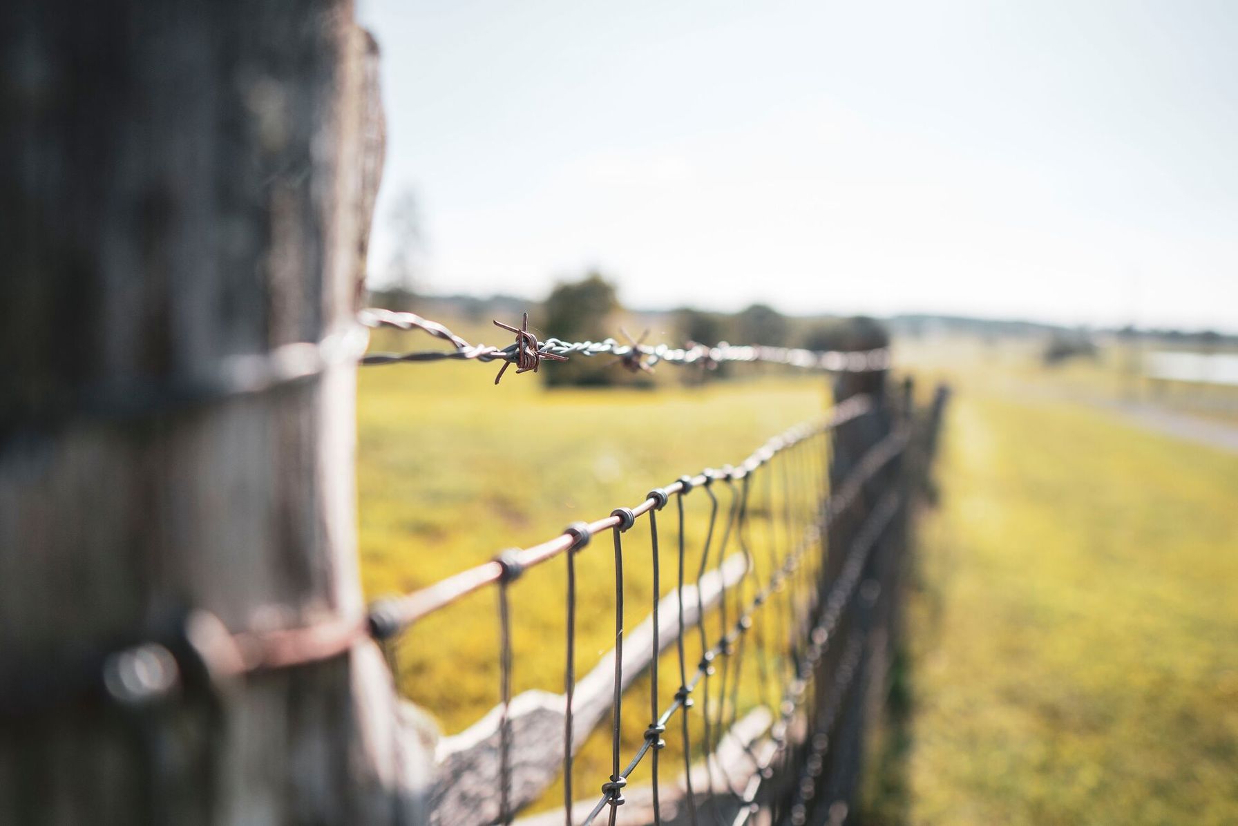
The Right Hunting App Keeps You on the Right Side of the Property Line
Without property line clarity backed by the five critical features of data freshness, GPS accuracy, offline availability, overlay clarity, and trespass alerts, you may be open to legal exposure and trespassing citations.
A modern hunting app should offer border accuracy as a baseline offering, not a premium feature. Ideally, your hunting app blends multiple features into a single tool, without relying on multiple sources and apps.
As hunters, we respect private land as a central tenet of the sport. Knowing the legal hunting boundaries is just as important as knowing where the animals are.
With a free trial, you can download the HuntWise app and run through the evaluation steps above before your next hunt to see if it’s right for you.
Frequently Asked Questions (FAQs)
Q: How often do property line boundaries change?
A: Property ownership changes whenever land is bought, sold, or subdivided, but updates don't appear everywhere at the same pace. Since most hunting apps rely on county GIS and cadastral records, the property line data you see may lag behind recent ownership changes.
Q: Why do some apps charge for property lines when others include them free?
A: Property line data comes from third-party GIS providers and requires ongoing licensing, processing, and updates. Some hunting apps include these costs in a free offering or trial, while others reserve property line layers for paid subscriptions.
Q: What's the most common reason property line data is wrong on an app?
A: The most common issue is outdated source data. If a county hasn't published recent parcel updates or an app hasn't refreshed its database yet, the displayed property lines may not reflect the latest ownership records.
Q: Should I rely on an app alone for legal boundary purposes?
A: No. Hunting apps are useful navigation and planning tools, but they aren't legal surveys. If you're unsure about a boundary, look for posted signs or survey markers and get landowner permission before entering private property.
Q: Does GPS accuracy change in dense timber or canyon terrain?
A: Yes. Heavy tree cover, steep terrain, and narrow canyons can reduce GPS accuracy compared to open ground. That's why it's a good idea to verify your position against known landmarks or boundary markers when hunting near property lines.
Q: What's the difference between a property line overlay and a public land boundary layer?
A: A property line overlay shows individual parcel boundaries and ownership information. A public land boundary layer identifies public lands, such as state or federal properties. Using both layers together gives you a clearer picture of where public and private land meet.
Q: Can I use a hunting app with property lines offline?
A: Yes, if the app supports offline maps. Download the map area before your trip and confirm that property lines, satellite imagery, and other map layers remain available without a cellular connection.
Q: How do I verify that an app's property lines match real-world boundaries before my hunt?
A: Test the app before opening day. Compare its property lines with your county GIS viewer, visit a known boundary corner or survey marker to check GPS placement, and make sure the property line layer still works when your phone is in airplane mode.


