

Large-scale programs include Kansas Walk-In Hunting Access (WIHA), North Dakota Private Land Open to Sportsmen (PLOTS), the Iowa Habitat and Access Program (IHAP), and the South Dakota Conservation Reserve Program (CRP). Together, these programs enroll millions of acres annually.
With HuntWise, you can view actively enrolled parcels using current state program data. By combining the parcel overlay with topographic maps and property lines, you can plan a successful walk-in hunt while staying within legal hunting boundaries.
Walk-in hunting opportunities are often underutilized, particularly in the Plains states. With millions of acres of accessible, less-pressured hunting opportunities available, now is the time to explore walk-in hunting programs. Explore how to find these public opportunities, state-based inclusion, and tips for making the most of them.
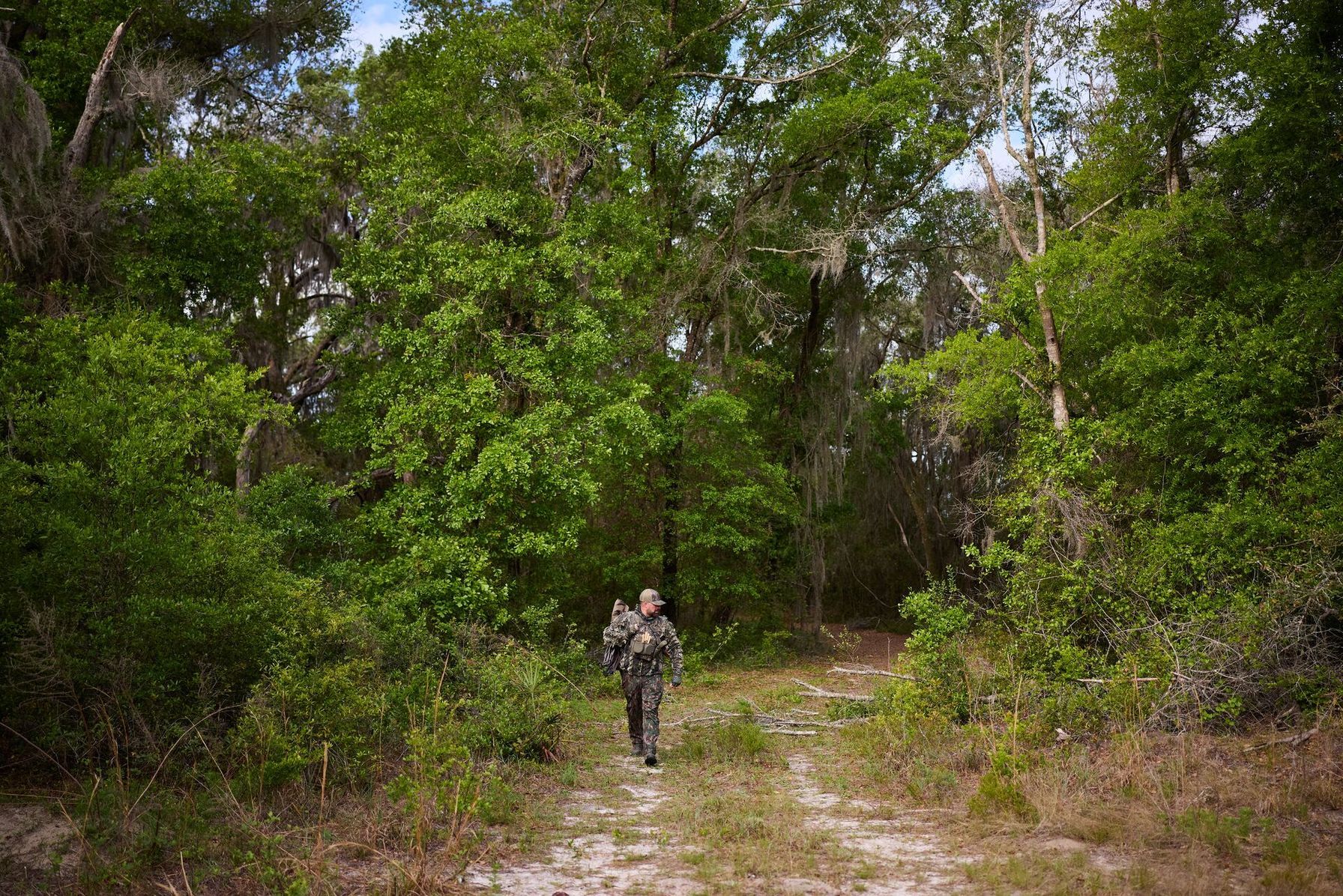
What Are Walk-In Hunting Programs?
Walk-in hunting programs are state-based initiatives that encourage private landowners to open their properties to the public for hunting. These programs support ongoing conservation efforts by providing critical habitat care and helping maintain a robust ecosystem.
Walk-in hunting programs differ from leased public land or landowner-permission hunting, which requires direct permission from the landowner to hunt. The relevant state agency sets and manages these access opportunities, offering financial incentives and often liability protection to landowners in exchange for enrollment.
Walk-in hunting is popular, with millions of acres enrolled annually across the major Plains states. Popular walk-in hunting opportunities include:
- Kansas Walk-in Hunting Access (WIHA)
- North Dakota Private Land Open to Sportsmen (PLOTS)
- Iowa Habitat and Access Program (IHAP)
- South Dakota Walk-in Area (WIA)
- Nebraska Open Field and Waters (OFW)
- Wyoming Walk-in Hunting Area (WIHA)
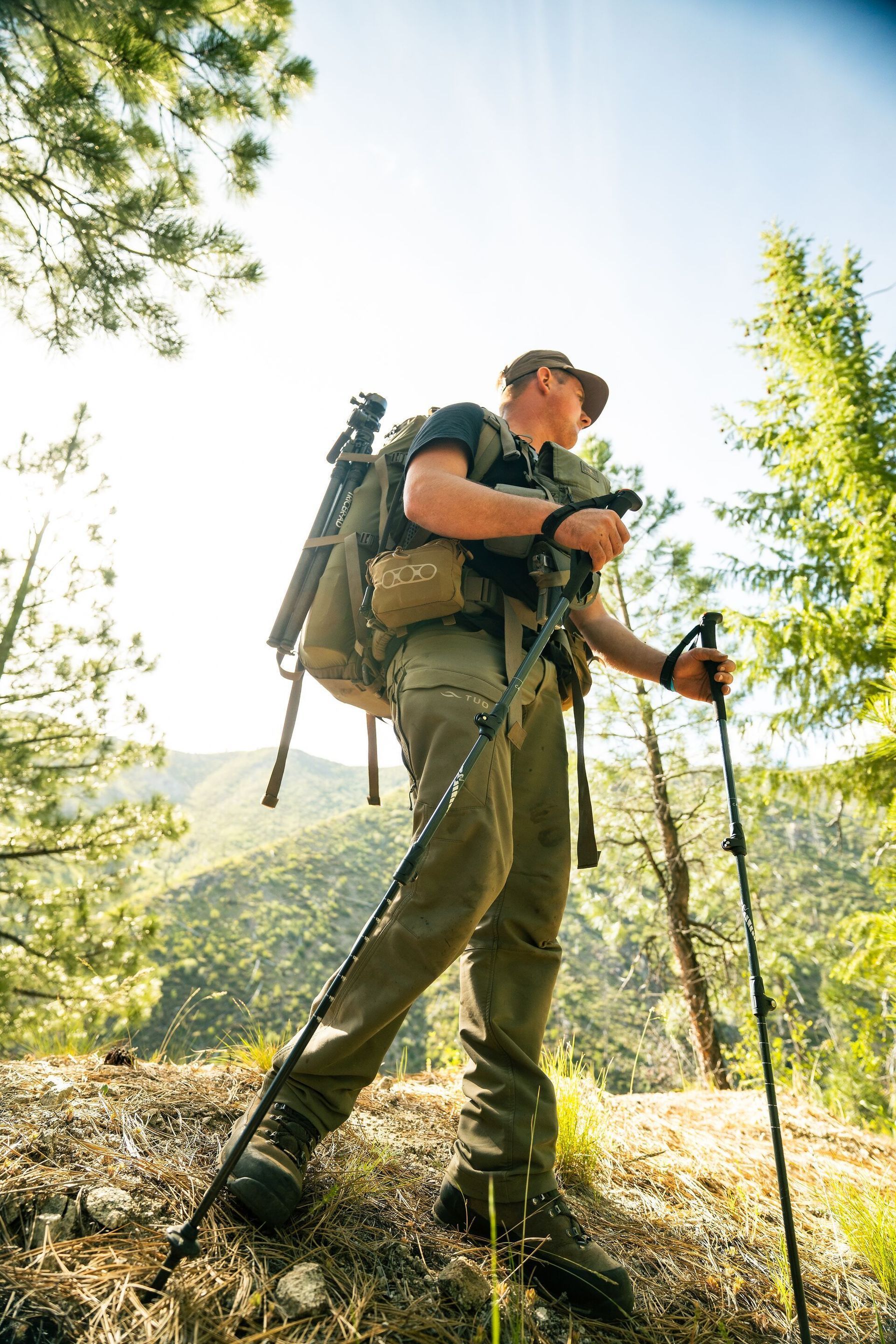
Hunting pressure, especially in programs like WIHA hunting, tends to build around easily accessible areas near main roads. While these windshield-scouted locations can look promising, leaving the car and pushing a mile or two deeper can open up hunting opportunities in pristine locations away from high pressure, especially early in the season and on weekends.
How to Find Walk-In Hunting Access Land with HuntWise
Once you understand walk-in hunting and how it works in your state, you can start building a hunting plan by cross-referencing information with other access types. Follow the steps below to find nearby access.
- Open the HuntWise app and choose your intended hunting state. Keep in mind that for PLOTS hunting land, Kansas, North Dakota, Iowa, South Dakota, Nebraska, and Wyoming offer the largest walk-in programs.
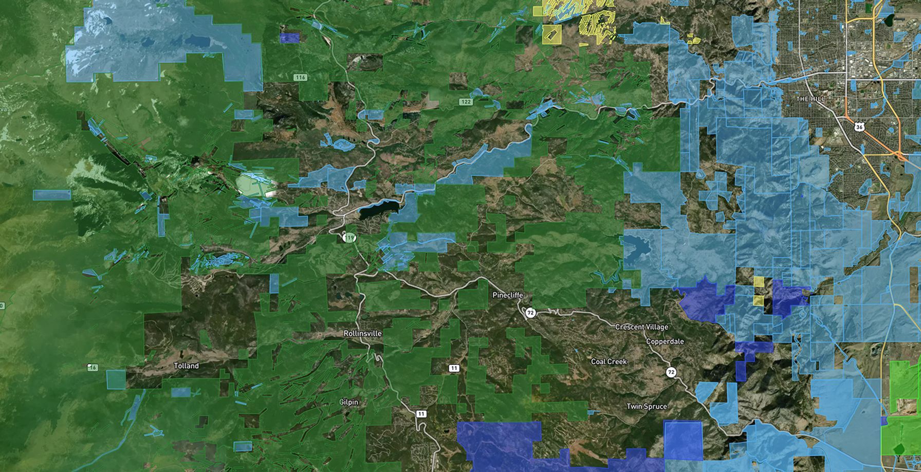
- Switch on the public land layer. This layer shows walk-in program overlays, along with federal, state, and WMA land, in states where the data is current.
- Focus on your intended hunting area to locate enrolled parcels. These appear as separate overlays from federal and state public-land opportunities.
- Tap the parcel to view rules, species, and restrictions when available.
- To expand your hunting range, cross-check the parcel against public land layers to find bordering USFS, BLM, or WMA access types and build a combined access plan.
- Download offline maps for your walk-in parcel, as cell service can drop out in remote and backcountry Plains hunting zones.
Taking five minutes to review map layers and learn how to find walk-in hunting land turns a random list of program acronyms into a practical plan for where to leave your truck, hike in, and set up your hunt. By linking walk-in properties with vast public tracts, you can increase your range and hunting opportunities, especially as pressured animals seek cover in smaller adjacent properties.
Major Walk-In Hunting Programs by State
Before heading out for a walk-in hunt, take a moment to research local program names and acreage totals so you don't waste hunting time in the field. Explore the major walk-in hunting programs by state below for an overview.
Major Walk-in Hunting Programs by State | |||
|---|---|---|---|
| Program | State | Approx. enrolled acres (verify annually) | Primary species |
| WIHA (Walk-In Hunting Access) | Kansas | ~1.1–1.2M acres | Pheasant, deer, turkey |
| PLOTS (Private Land Open To Sportsmen) | North Dakota | ~880K acres | Deer, waterfowl, pheasant |
| IHAP (Iowa Habitat and Access Program) | Iowa | ~32K acres | Deer, turkey, pheasant |
| WIA (Walk-In Area) | South Dakota | 1.2M+ acres | Pheasant, deer |
| OFW (Open Fields and Waters) | Nebraska | ~471K acres | Deer, turkey, pheasant |
| WIHA (Walk-In Hunting Areas) | Wyoming | 700K+ acres | Deer, antelope, upland birds |
Acreage figures and PLOTS hunting land allocations change each season as landowners enroll in or leave the programs. Always confirm current-year figures on the relevant state agency atlas before committing to a hunt.
Walk-in Hunting Tips for Maximum Access
Uncovering a potential walk-in parcel is only the first step. Building pre-season and in-field habits to uncover low-impact access and hunting opportunities can make the difference between finding your own private spot and competing with other hunters from the get-go.
- Easy access, especially near main roads and trails, will likely attract more hunters. If it looks good from the road, you can bet other hunters have likely marked it on their own maps. Walk at least a couple of miles farther in, as many hunters will stick near their trucks.
- Download your maps for offline access so you can keep hunting even when cell service drops out.
- Use the HuntWise app to view public land layers alongside walk-in parcels to uncover combined parcels and different entry points beyond the obvious.
- Don't rely on last year's enrollment data, as farmers and landowners may drop in and out of the program. Always confirm with your state DNR.
- Use HuntWise to view private property lines to avoid trespass and respect boundaries. Violations can end the program for that parcel.
Walk-in hunting opportunities are unique in that they allow access to privately owned land as if it were public. By treating the land with respect and following the rules, we can ensure continued access and program availability for future seasons.
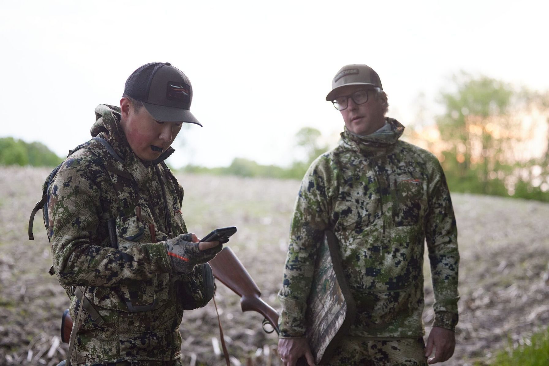
Millions of Acres, One Hunting Map App: Planning Your Walk-In Hunt
If you’ve never considered hunting a walk-in parcel, you’re missing out on millions of acres of pristine, legitimate, and legal hunting land. These hunting areas are often overlooked in favor of public hunting opportunities, which can see high hunting pressure.
In the Plains states, you can explore the Kansas WIHA, North Dakota PLOTS, Iowa IHAP, and South Dakota CRP. When you get started, open the HuntWise public land map to clearly view enrolled parcels, then add mapping overlays to build a hunting plan beyond the obvious public-land hotspots.
To explore walk-in opportunities today, start a free HuntWise trial and get ahead before the season opens.
Frequently Asked Questions (FAQs)
Q: What is a walk-in hunting program?
A: A walk-in hunting program allows the public to hunt on privately owned land enrolled in a state-managed access program. Landowners receive incentives for providing access, and hunters can use enrolled parcels without obtaining individual permission, subject to program rules and hunting regulations.
Q: Which states have the best walk-in hunting programs?
A: Kansas, North Dakota, Iowa, South Dakota, Nebraska, and Wyoming offer established walk-in hunting programs. Kansas WIHA, North Dakota PLOTS, and Iowa IHAP are examples of programs that open private land to public hunting. The right state for you depends on your target species, available acreage, access dates, and local regulations.
Q: Is walk-in access hunting truly free?
A: Access to an enrolled parcel generally does not require a separate access fee, but you may still need a state hunting license, species-specific permit, tag, or stamp. Requirements vary by state and game species, so check the relevant wildlife agency's regulations before hunting.
Q: How do I know if a walk-in parcel allows deer hunting?
A: Check the state wildlife agency's current access atlas or parcel listing to confirm which species are allowed and whether deer hunting is open during your intended dates. In HuntWise, tap a parcel to review available species and restrictions. Confirm the current rules with the state agency before heading out.
Q: Can I set up a tree stand on walk-in access land?
A: It depends on the state's program. North Dakota's PLOTS program allows tree stands and ground blinds, but hunters must remove them when leaving unless the landowner gives written permission to leave them overnight. South Dakota prohibits permanent stands on its Walk-In Areas but allows qualifying portable stands during specified dates. Check the rules for your specific parcel before setting up equipment.
Q: Do walk-in hunting programs require a separate permit or stamp?
A: Walk-in programs generally do not require a separate permit just to access an enrolled parcel, but you must meet the state's regular hunting license and species-specific requirements. Some areas may have additional rules, such as electronic check-in. Review the parcel's conditions and your state's current hunting regulations before your trip.
Q: Can walk-in parcels be closed or removed from a program during the season?
A: Yes. Landowners can leave access programs when their agreements allow, and parcel availability can change. State fish and game departments can add or remove PLOTS tracts throughout the year. Check current state maps and posted signs before each hunt, rather than relying on information from previous seasons.


