

The Wisconsin Department of Natural Resources (WI DNR) manages the southern 10,900 acres, which are open to waterfowl hunting, while the federal Horicon National Wildlife Refuge to the north is closed to waterfowl hunting except for an annual mentored youth hunt.
Hunters reach the state area on foot from several parking lots or by boat from public launches. Because the two halves follow different rules, accidentally crossing the line is a real risk.
HuntWise shows both properties before you leave home. Our public land layer outlines state and federal land on satellite imagery, so you can pin your entry point and keep track of the boundary. If you're still working out your public land search basics, this guide covers the Wisconsin steps, the main areas, and the rules that keep you on the legal side.
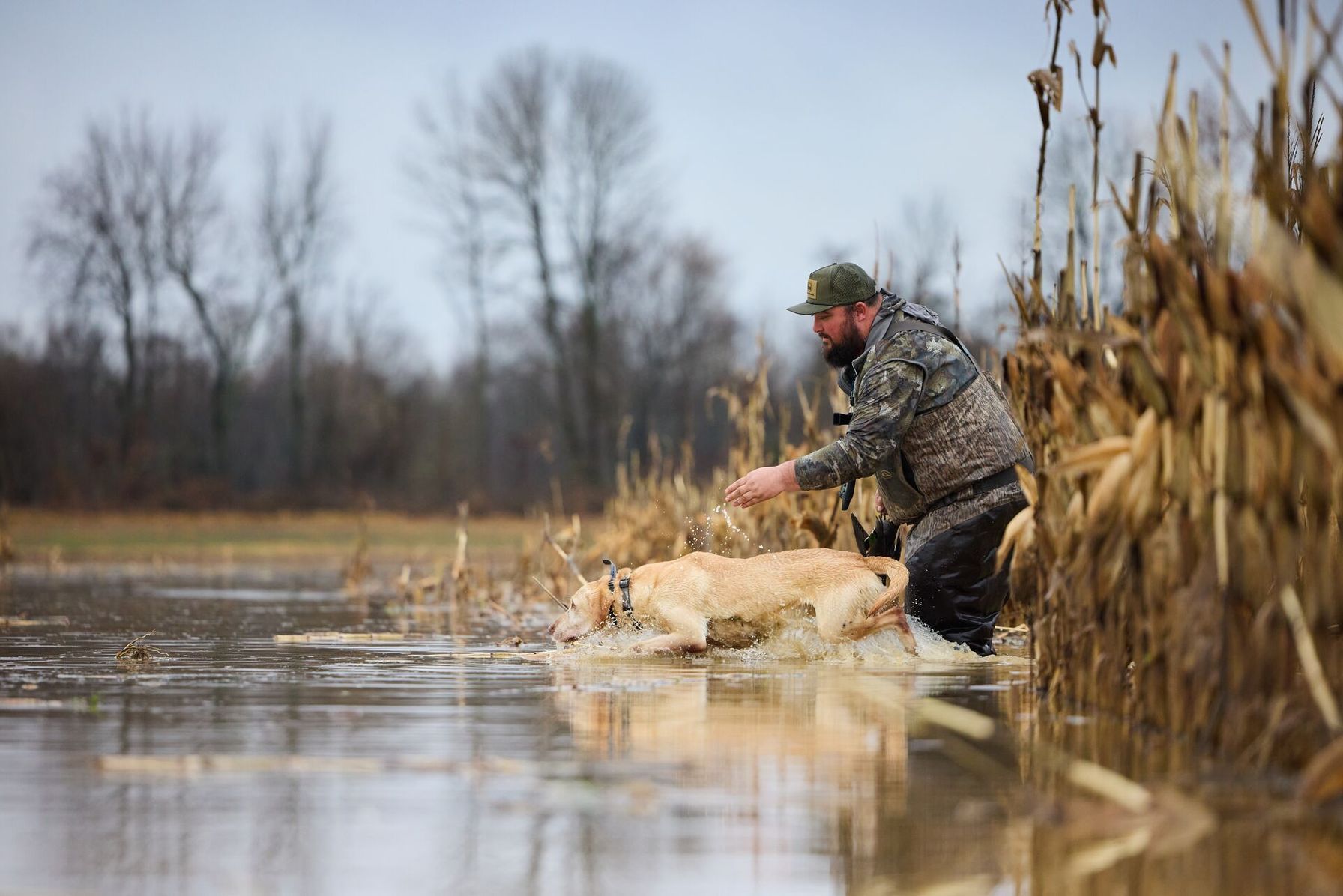
How to Find Public Waterfowl Hunting Land in Wisconsin: Five Steps
Horicon Marsh splits into a state half you can hunt and a federal half you can't. The five steps below help you stay on the legal side of that line.
- Turn on the public land layer in HuntWise. Open HuntWise's mapping features, enable the public land layer, and zoom to Dodge and Fond du Lac counties, north of the city of Horicon. The state area and the federal refuge appear over satellite imagery, so you can see where one ends and the other begins.
- Aim for the state wildlife area. Waterfowl hunting is allowed only on the state-owned southern portion, and it is not allowed on the refuge. Treat the northern two-thirds as off-limits.
- Choose your access point. Walk-in access starts from parking lots on Burnett Ditch Road, Swan Road, and Greenhead Impoundment. Boat launches sit at Greenhead Impoundment, Burnett Ditch Road, and two sites in the city of Horicon on Nebraska Street and Chestnut Street.
- Respect the buffer. The refuge boundary is posted, and no one may hunt waterfowl within 75 yards of it during the season. A Waterfowl Retrieval Zone along the line lets you retrieve legally killed or crippled birds by dog or by hand.
- Confirm your licenses and season. Wisconsin splits duck seasons into the Northern, Southern, and Open Water zones, and the Wisconsin DNR waterfowl season dates list each one. Regular goose season adds a Canada goose permit on top of your stamps.
The Horicon waterfowl hunting FAQ answers questions on blinds, motors, and access. The refuge explains its closed status on its Horicon refuge hunting information page. Review this information carefully if you plan to hunt there.
What to Pack and Confirm Before You Hunt Horicon
Duck numbers shift with the weather, so check peak waterfowl hunting days as the season opens. Most Horicon hunters carry the same core items:
- A Wisconsin small game license, a state waterfowl stamp, and a federal migratory bird stamp for hunters 16 and older, and HIP registration
- A Canada goose permit if you plan to hunt the regular goose season
- A boat or waders, since motors are legal on the marsh but shallow areas can limit them
- A blind you can label, because DNR requires your name, address, and DNR customer ID on any blind you leave in the field
- A downloaded HuntWise map with pins on your lot, launch, and the refuge line
Set any blind no earlier than seven days before the season, and take it down within seven days after the season closes. Scouting before opening day also pays off, because DNR notes that hunters who scout beforehand have the most success.
Waterfowl Hunting Areas in Wisconsin
Five places give you a starting list, from Horicon's two halves to central Wisconsin and the Mississippi River. Because state and federal rules differ, a quick read on wildlife management area hunting helps before you pick a spot.
Waterfowl Hunting Areas in Wisconsin | |
|---|---|
| Area Name | Rules |
| Horicon Marsh State Wildlife Area (Dodge County) | The 10,900-acre southern portion is open to waterfowl hunting without a special permit, except for Canada geese. Blinds are optional, motors are allowed, and no one may hunt waterfowl within 75 yards of the refuge boundary. |
| Horicon National Wildlife Refuge (Dodge and Fond du Lac counties) | The northern two-thirds of the marsh is closed to waterfowl hunting except for an annual Learn to Hunt Waterfowl mentored program. Other hunting opens under its own season dates. |
| Mead Wildlife Area (Marathon County) | The area stays closed during the early teal and early goose seasons, and waterfowl hunting ends daily at 1 p.m. Posted refuge zones are off-limits from September 1 through November 30. |
| Upper Mississippi River National Wildlife and Fish Refuge (western Wisconsin) | Posted waterfowl closed areas shut down migratory bird hunting during the state duck season. DNR says Pools 7, 8, and 9 hold the most waterfowl food and the most ducks. |
| Legally accessible waters statewide | The DNR counts all legally accessible bodies of water as open to public hunting. The Open Water Duck Zone runs on its own season, so check its boundary map first. |
How a Hunting App Helps You Stay on the Legal Side of the Line
Horicon's boundary matters more than any other detail, so use HuntWise to drop pins along the refuge edge before you set a decoy spread. Then plan your blind or boat position well back from those pins, since the 75-yard buffer applies to every shot at waterfowl.
Private farmland surrounds the marsh, so checking land ownership lines before you chase a bird onto adjoining ground keeps you out of trouble. Download your hunt area at home so the map still loads at the launch or on the dike.
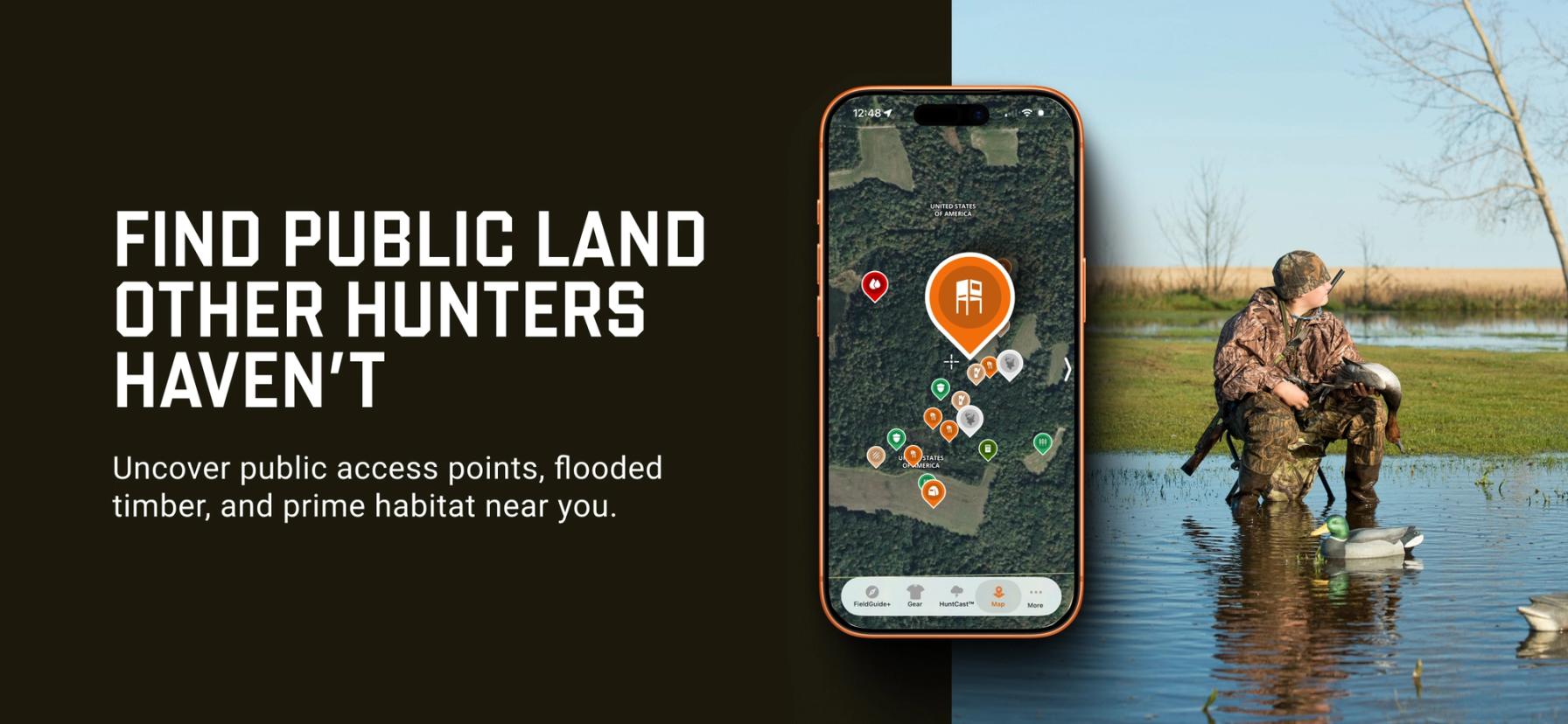
Finding Public Waterfowl Hunting Land in Wisconsin Is Easier with HuntWise
Public waterfowl hunting in Wisconsin comes down to knowing where public ground ends, and refuge begins. Choose your access point, confirm your zone's season, label your blind, and stay well clear of the federal line.
HuntWise puts the state area and the refuge on one map, so you can arrive at the parking lot with the boundary already marked.
Frequently Asked Questions (FAQs)
Q: What is the best public waterfowl hunting land in Wisconsin?
A: Public waterfowl hunting land in Wisconsin ranges from Horicon Marsh State Wildlife Area to Mead Wildlife Area and the Mississippi River backwaters, and the right fit depends on your boat and your region. Horicon is a widely used starting point, but the DNR also treats all legally accessible waters as open to public hunting.
Q: Is Horicon Marsh open to waterfowl hunting?
A: Part of Horicon Marsh is open to waterfowl hunting. The southern state wildlife area allows it, while the northern federal refuge is closed except for a mentored program.
Q: What's the difference between the Horicon Marsh state and federal areas?
A: The difference between the state and federal areas at Horicon Marsh comes down to who manages them and what they allow. WI DNR manages the southern 10,900 acres and allows waterfowl hunting there, while the U.S. Fish and Wildlife Service manages the northern refuge, which has different hunting rules and season dates.
Q: Can I hunt the Horicon National Wildlife Refuge?
A: You can hunt parts of the Horicon National Wildlife Refuge, but not for waterfowl. The refuge is closed to waterfowl hunting except for an annual Learn to Hunt Waterfowl program, and it opens other hunting under its own rules.
Q: Where can I access Horicon Marsh State Wildlife Area?
A: You can access Horicon Marsh State Wildlife Area on foot from parking lots on Burnett Ditch Road, Swan Road, and Greenhead Impoundment. Boat launches serve hunters who prefer to hunt on the water.
Q: Can HuntWise show me the Horicon Marsh state/federal boundary?
A: HuntWise can show state and federal land at Horicon Marsh through its public land layer, which outlines each property on satellite imagery. The boundary is also posted in the field, and the Horicon Service Center provides a detailed map, so confirm the line with both before you hunt.
Q: Are boat launches available at Horicon Marsh?
A: Yes, boat launches are available at Horicon Marsh. They sit at Greenhead Impoundment on the east side, on Burnett Ditch Road on the west side, and at two spots in the city of Horicon on Nebraska Street and Chestnut Street.
Q: How do I download Wisconsin waterfowl area boundaries for offline use?
A: To download Wisconsin waterfowl area boundaries for offline use, create a hunt area around your marsh in HuntWise and save it over Wi-Fi before the trip. The saved map keeps your pins and the refuge line on screen, even when the signal fades at the launch.


