

Before heading out, download offline maps in case of poor cell service in the field.
For accurate boundary confirmation and how to see property lines while hunting, you’ll require a paired system. While apps give real-time reference, GPS accuracy can sometimes be off, and confirmation depends on ground-truthing using corners, signage, and landowner permission to navigate hunting zones and private land hunting laws safely.
In this guide, we break down exactly how you can use a hunting app with property lines and other trusted sources to check property boundaries, prepare before a hunt, and stay aware of where you are once you're in the field.
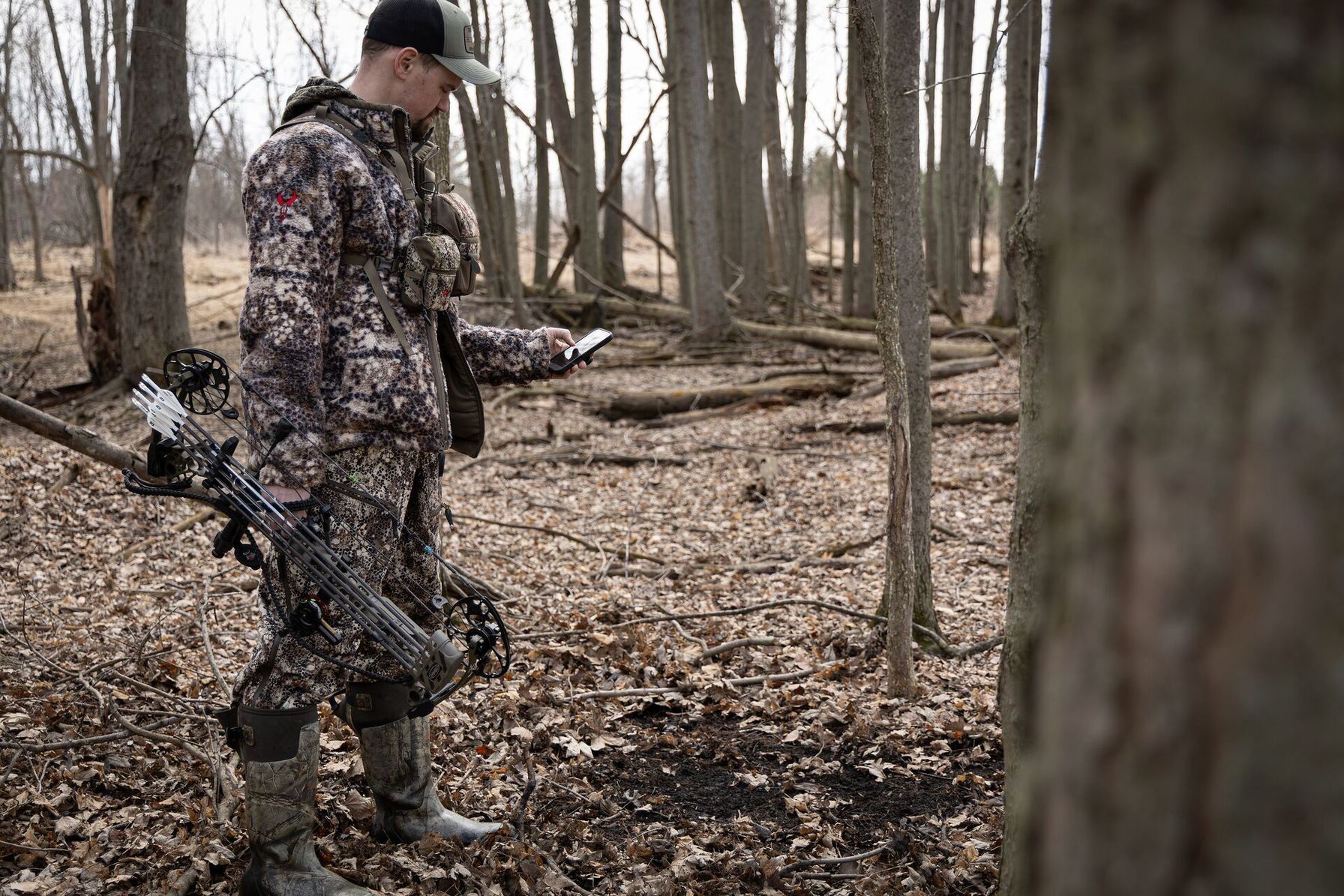
Why Your Phone Is the Fastest Way to Check Property Lines
A hunting app with property lines that overlays cadastral data (an official parcel-based land system) didn’t exist on consumer maps a decade ago. In the past, hunters relied on analog strategies to learn where the boundaries ended, like
- Paper maps
- County records
- Word of mouth
- Landowner memory
But these processes are time-consuming and can affect hunting strategy in the field. Stopping mid-stalk to pull out a paper map is far from ideal.
Today, with the tap of a finger, you can view property lines overlaid on satellite or topo maps, turning boundaries into live reference points relative to your GPS position. Once you’re hunting a zone based on your app, always confirm on the ground with visual markers or landowner advice.
Before You Ever Leave the House (Night-Before Setup)
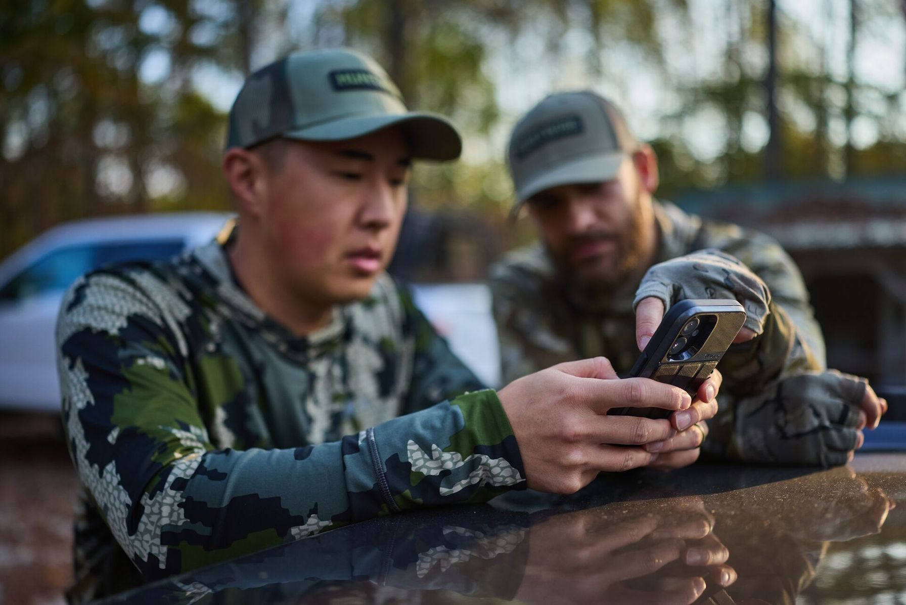
Top hunters do their homework. Ideally, the night before a hunt, you’ll want to prepare for the unpredictable circumstances that arise once you’re out in the field.
Cell service can drop in and out in hunting territory, especially in dense timber, canyons, or low country.
- To compensate, open your HuntWise app and navigate to your intended hunting area.
- Next, download offline maps (most hunters skip this) and confirm they work by switching your phone to airplane mode and exploring the map.
- Finally, enable the Property Lines layer plus satellite or hybrid so that the boundaries show on top of real terrain, giving you stronger referencing systems, not just a blank basemap.
Calibrate Before Opening Day (Ground-Truth Your GPS)
Contemporary mapping apps are highly accurate; however, they’re not professionally survey-accurate. GPS drift can cause minor inaccuracies in your physical and GPS positioning.
For accurate positioning, walk a known boundary corner pre-season before your hunt, ideally a location marked by a survey pin, fence corner, or posted sign. Fences are not always legal markers and can often be inside the legal land boundary. Sometimes natural features mark boundaries, such as rivers, roads, or streams.
Compare what the app is showing against what you’re confirming with legal markers to calibrate against GPS drift on your phone in the particular hunting zones. Once you’ve established “agreement” between your ground evidence and the GPS positioning, you’ll have a much stronger reference.
Calibration is essential to this process. If you’re still unsure, use the HuntWise app to reach out to landowners directly or check with local authorities or the game warden.
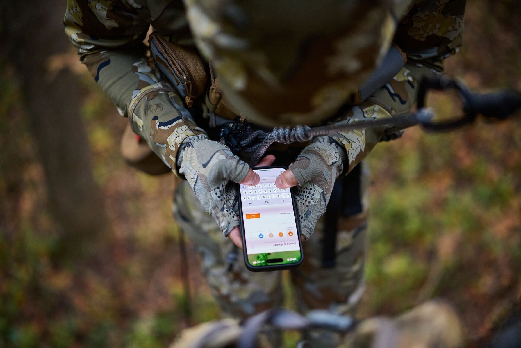
In the Stand: Confirm Your Pin Before You Settle In
Once you’ve determined your stand or scouting location, confirm that you sit inside legal access lines before you start hunting. Even when hunting within legal zones, hunters often leave a buffer, generally 50 to 100 yards, to prevent trespassing or situations where downed game crosses into private land.
You can do this pre-season. Just be sure to cross-reference a pin against a visible ground feature such as a fence line, tree row, or a ridge rather than relying on the dot alone. Marking these positions pre-season gives you a physical marker to look for in the field and can help you stay oriented when conditions make boundaries difficult to identify.
It can also help you stop burning battery in the field, as high-accuracy GPS drains faster, but it’s worth it for the reliability, especially when hunting near private parcels.
Before Any Stalk or Recovery, Check the Line Again
Any time you move, whether you're stalking an animal or recovering game, you’ll want to check the line again.
On your HuntWise map app, tap and drag your intended route against parcel boundaries. Recovering game that’s downed on private land is a common cause of trespass, and it’s easy to drift across property lines without noticing. In those moments, especially when adrenaline is high, pause and actively check your position rather than taking a passive glance at the map.
Rules regarding animal recovery on private land differ from state to state; however, it's best to err on the side of caution. Reach out to the landowner directly for permission or call the warden. Never enter without personalized access.
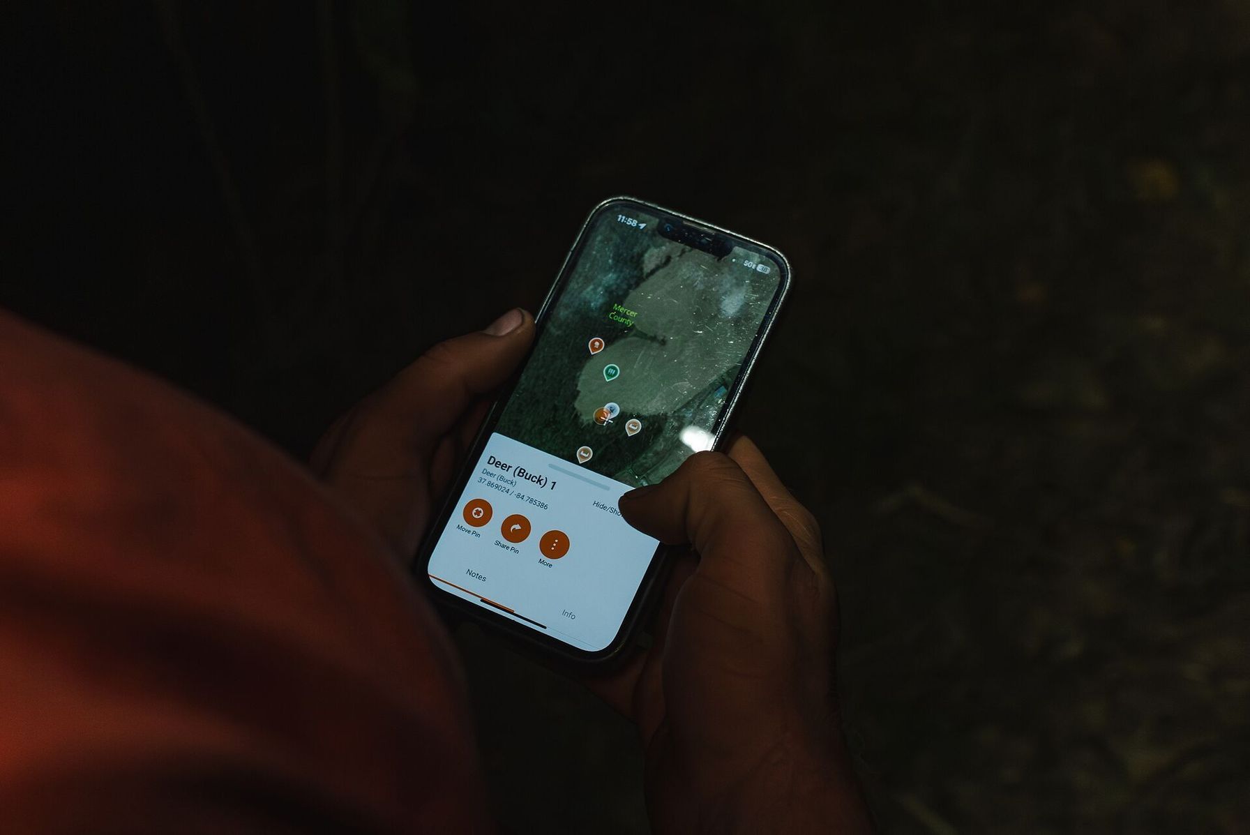
Mark Waypoints Before You Need Them
Incorporate waypoint marking into your pre-hunt e-scouting process for easier access and more legal hunting once out in the field.
To start, mark your stand sites, access corners, and known trespass-risk pinch points ahead of time and set alerts on your HuntWise app to ensure higher compliance. This is the easiest strategy for how to see property lines while hunting.
These waypoints will allow you to re-locate access corners at last light when visibility drops and attention is low. Use waypoints to flag areas where boundary lines are ambiguous, or you’ve had a close call, and use the note feature to leave any additional details such as nearby landmarks, fences, gates, or anything that will act as a field reference.
Why a Paper Map Still Belongs in Your Pack
Hunting apps have completely revolutionized hunting, but this doesn’t mean the devices you use them on aren’t susceptible to failure.
Paper maps:
- Don’t crash if their systems haven’t been updated.
- Don’t die in the field due to low or cold batteries.
- Don’t break when you accidentally drop them.
Carrying a paper map is a backup for convenience and for when your primary systems fail. Mapping is not a one-or-nothing approach. It should be layered through digital and offline options, so you’ll enjoy reliable reference points no matter what the hunt throws at you.
Your In-Field Setup Checklist
Before heading out into the field, take time to explore and make the most of your mapping systems. Switch through topo, 3-D, contours, and satellite, as this is what separates intentional hunting from wandering.
Property Lines: In-Field Setup | |
| Setup Step | Why it Matters |
| Pre-download offline maps | Service drops in timber and canyons |
| Enable property lines + satellite | Visual context plus boundary precision |
| Set GPS to high accuracy | Battery drains faster but pin is reliable |
| Mark waypoints at access corners | Re-find access at last light |
| Carry a backup paper map | App can crash (paper does not) |
Even if you’re a complete beginner with hunting apps, it won’t take long to develop a structured approach by following the steps above.
How to See Property Lines While Hunting (Step-by-Step)
Follow the steps below for a simple checklist to set up your HuntWise map before the hunt and maintain legal hunting boundaries once out in the field.
- Before your hunt, open HuntWise and navigate to your hunting zone to download offline maps. Check functionality in airplane mode to make sure it works.
- Enable the Property Lines layer and switch to satellite or hybrid view to see how the land lies and interacts with the boundaries.
- Head out into the field and walk a known boundary corner to calibrate GPS position against ground truth.
- Once in the stand, open your app and confirm your pin is sitting inside the legal access boundary.
- Before a stalk or recovery, tap and drag your intended path against the boundaries.
- Finally, mark several waypoints for stand sites, access corners, and trespass-risk pinch points.
Taking time to review the list and other property line guides can help you stay oriented and avoid boundary issues in the field.
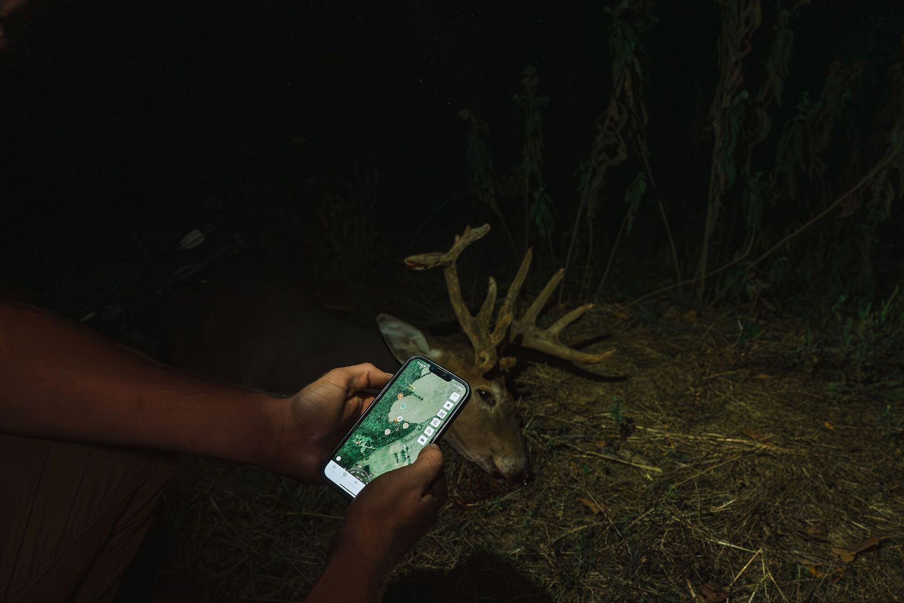
Check the Line Before You Take the Shot
Integrating a property line process into your hunting strategy can help you hunt better and avoid unintentional trespass or property infringements. To make the most of your pre-hunt strategy, always download offline maps, calibrate your GPS with known features, confirm your location in the field, and double-check property lines before a stalk or recovery.
For the highest-accuracy strategy, always match your app data with ground-truthing to ensure reliability. Building these systems into your hunt and maintaining good habits such as marking waypoints, carrying a paper map backup, and ensuring sufficient juice in your phone are what separate a clean hunt from legal trouble.
If you’re looking to establish a stronger pre-season routine, go ahead and download HuntWise today for safer hunting. Use your week-long free trial of Pro or Elite to explore property lines in the areas you plan to hunt.
Frequently Asked Questions (FAQs)
Q: How accurate is GPS on a phone for property line use?
A: Phone GPS can provide a useful reference for your position, but it’s not survey-accurate. GPS drift can cause minor inaccuracies, so compare your location with known boundary markers, signs, fences, or other ground features.
Q: What if my phone dies in the field?
A: Carry a paper map as a backup. You should also download offline maps before your hunt so that you can still access your property line information if cell service drops or your phone loses connectivity.
Q: Are property lines visible if I'm hunting public land?
A: Yes. Property lines can be displayed as an overlay on your map, including when you're using the map to navigate public hunting areas. They can help you see where public and private parcels meet.
Q: Do I need cell service to see property lines on HuntWise?
A: Not if you've downloaded the area for offline use beforehand. However, we recommend testing your offline maps in airplane mode before leaving home to make sure they work without a connection.
Q: Can property lines change mid-season?
A: Yes. Property ownership and parcel boundaries can change when land is sold, subdivided, or otherwise transferred. However, changes may not appear in mapping data immediately because county records and GIS databases can have different update schedules. If you're hunting near a boundary, verify current ownership with local records and physical markers rather than relying on a single source.
Q: What should I do if I think I've crossed onto private land by accident?
A: Stop and verify your location before continuing. If you're on private property, leave rather than continue hunting or recovering game without permission. If you're unsure where the boundary is, contact the landowner or a game warden for guidance


