

The Ohio Department of Natural Resources (ODNR) and the U.S. Fish and Wildlife Service run controlled hunts at Magee Marsh Wildlife Area and Ottawa National Wildlife Refuge, and ODNR hands out every spot through drawings.
Ohio also has public marshes that skip the lottery, such as Metzger Marsh near Bono, so you can plan for both kinds of ground. Each option has its own rules for units, boats, and arrival times, and the permit rounds open months before the season.
HuntWise lets you compare those properties before you enter a drawing. Our public land layer outlines each area on satellite imagery, so you can pin your launch and study the marsh from home. If you hunt other states too, the public hunting land categories carry over, and this guide covers the Ohio steps, the main areas, and the unit rules that matter on drawing day.
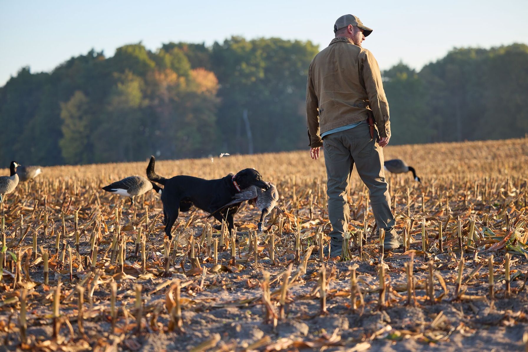
How to Find Public Waterfowl Hunting Land in Ohio in Five Steps
Ohio's controlled hunts reward hunters who plan early. These five steps will help you find the best places to hunt waterfowl.
- Turn on the public land layer in HuntWise. Open HuntWise map layers, enable the public land layer, and zoom to the Lake Erie shoreline west of Port Clinton. Magee Marsh, Ottawa National Wildlife Refuge, and Metzger Marsh appear over satellite imagery, so you can see how each marsh sits against the lake.
- Decide between a controlled hunt and open ground. Magee Marsh and Ottawa NWR work by permit only, while Metzger Marsh opens under state regulations with no drawing. Pick one of each if you want a backup plan.
- Enter the ODNR lotteries. Applications for the season's controlled waterfowl hunts open in July, and the ODNR controlled hunt lotteries also run weekly drawings for Tuesday and Thursday hunts. Each partner on your application needs a hunting license, HIP certification, and a wetland habitat stamp if over 18 before you apply.
- Check your zone and season. Ohio replaced its Lake Erie Marsh, North, and South zones with Zones A, B, and C for 2026-2030. The Ohio waterfowl season dates list the duck and goose segments for each zone.
- Preview your unit and plan your entry. ODNR and the refuge each set aside one preview day in September, and it's the only time you can scout a controlled unit. Plan your arrival too, because Magee Marsh hunters can't enter the marsh earlier than an hour and a half before legal shooting time.
The refuge posts unit maps and rules on the Ottawa refuge hunting rules page, which is worth reading before you apply for an Ottawa permit.
What to Pack and Confirm Before a Controlled Hunt
Ohio's marshes hold the most ducks around mid-November, according to ODNR, so study waterfowl migration and weather timing before you pick lottery dates.
Permit hunters tend to carry the same core items for their hunts:
- An Ohio hunting license, a wetland habitat stamp if you're over 18, a Federal Duck Stamp, and HIP certification
- Your permit, printed or saved on your phone, since digital copies work at the ODNR areas
- Non-toxic shot, with a limit of 25 shells per hunter at the ODNR wildlife area hunts
- A boat for Magee Marsh, where every unit requires one, or chest waders for Ottawa NWR, where the refuge supplies boats and most units are wadable
- A downloaded HuntWise map with pins on your parking spot and unit
Decide who your two partners are before you apply, because ODNR won't let you add or swap them in the weekly lotteries once you submit.
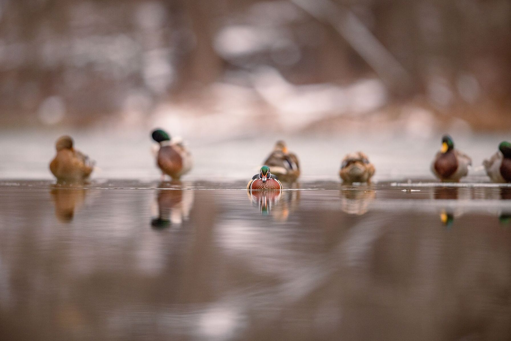
Waterfowl Hunting Areas in Ohio
Five properties give you a starting list, from the Lake Erie shoreline to the inland marshes and fields. Because several use lotteries, it helps to read up on draw-only WMA access before you apply.
Ohio Waterfowl Hunting Areas | |
|---|---|
| Area Name | Rules |
| Magee Marsh Wildlife Area (near Oak Harbor) | Controlled permit hunts run on Tuesdays, Thursdays, and Saturdays. Every unit requires a boat. Hunters stay inside their unit or within 75 yards of a blind, and entry opens an hour and a half before legal shooting time. |
| Ottawa National Wildlife Refuge (near Oak Harbor) | Controlled permit hunts are half-day hunts that end at 1 p.m., and hunters leave the unit by 2:30 p.m. The refuge provides boats and punt poles, and there is no in-person check-in. |
| Metzger Marsh Wildlife Area (near Bono) | The marsh opens under state regulations and hours, with no lottery. Primitive boat ramps along the entrance road serve waterfowl hunters. |
| Mercer Wildlife Area (Celina) | Controlled permit hunts allow the permit holder and two partners. Hunters stay within their unit or within 75 yards of a blind and use non-toxic shot. |
| Mosquito Creek Wildlife Area (Trumbull County) | Controlled permit hunts use field and wetland units with a marked stake. Pre-scouting isn't allowed, and you may park or walk in the refuge only on your permit date. |
How a Hunting App Helps You Work a Controlled Unit
A permit assigns you a unit, and the rules say to stay inside it, so knowing its edges matters. Use HuntWise to outline your area, pin the parking lot, and trace the route to your spot before drawing day, then compare it with the map that comes with your permit.
Private waterfowl clubs still operate around Lake Erie's marshes, so verify property boundaries before a hunt to stay on public ground. Download your hunt area at home, too, because marsh edges can drop your signal just when you need the map.
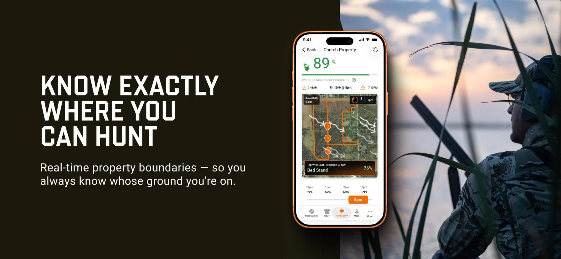
Finding Public Waterfowl Hunting Land in Ohio Is Easier with HuntWise
Public waterfowl hunting in Ohio rewards hunters who treat the lottery as part of the hunt. Enter the drawings, choose a backup on open ground, confirm your zone's season, and learn your unit's rules before you leave the driveway.
HuntWise shows you each marsh before you commit, so you can plan the water, the walk, and the boundaries from home.
Frequently Asked Questions (FAQs)
Q: What is the best public waterfowl hunting land in Ohio?
A: Public waterfowl hunting land in Ohio centers on the Lake Erie marshes, including Magee Marsh and Ottawa NWR, though the right pick depends on whether you can win a permit. Open areas such as Metzger Marsh and inland properties like Mercer and Mosquito Creek give you other options.
Q: How do I get a permit for Magee Marsh or Ottawa NWR?
A: To get a permit for Magee Marsh or Ottawa NWR, enter ODNR's controlled hunt lottery during the July application window, either online or through the HuntFish OH app. ODNR also runs weekly lotteries for Tuesday and Thursday hunts, and winners receive their permits by email.
Q: Are Magee Marsh and Ottawa NWR permit-only hunts?
A: Yes, Magee Marsh and Ottawa NWR are permit-only hunts. Hunters need a controlled hunt permit that assigns a unit and date, and they can't hunt outside that unit.
Q: Who manages the controlled hunts at Magee Marsh and Ottawa NWR?
A: The Ohio Division of Wildlife and the U.S. Fish and Wildlife Service manage the controlled hunts together. ODNR runs the lottery and manages Magee Marsh, while the refuge manages the hunt units at Ottawa NWR.
Q: Does the Magee Marsh access road stay open during hunting season?
A: The Magee Marsh access road stays open for most of the season, but ODNR closes it beyond the Visitor Center during a posted stretch of the controlled deer hunt. The beach and boardwalk are off limits during that closure, and restricted hours apply in the area while controlled waterfowl hunts run.
Q: Can HuntWise show me Magee Marsh and Ottawa NWR hunt units?
A: HuntWise shows Magee Marsh and Ottawa NWR through its public land layer, which outlines each property on satellite imagery. Your hunt unit comes from the permit and its map, so use HuntWise to plan your route and compare it with that unit map.
Q: Why are Ohio's Lake Erie marshes good for waterfowl hunting?
A: Ohio's Lake Erie marshes hold thousands of Canada geese, mallards, black ducks, gadwall, and green-winged teal during fall migration. Open water on Sandusky Bay and Lake Erie, along with waste grain in nearby fields, tends to keep birds around into the late season.
Q: How do I download Ohio waterfowl area boundaries for offline use?
A: To download Ohio waterfowl area boundaries for offline use, draw a hunt area around your marsh in HuntWise and save it over Wi-Fi before you travel. Your boundaries and pins stay on screen at the launch even when the shoreline signal fades.