Field Guide / Hunting Tips
How to Plan Your Hunt With a Hunting App: Clearer Paths to Tag Out
We've talked about the advantages of using a hunting app, but how can you practically plan your hunt using one?
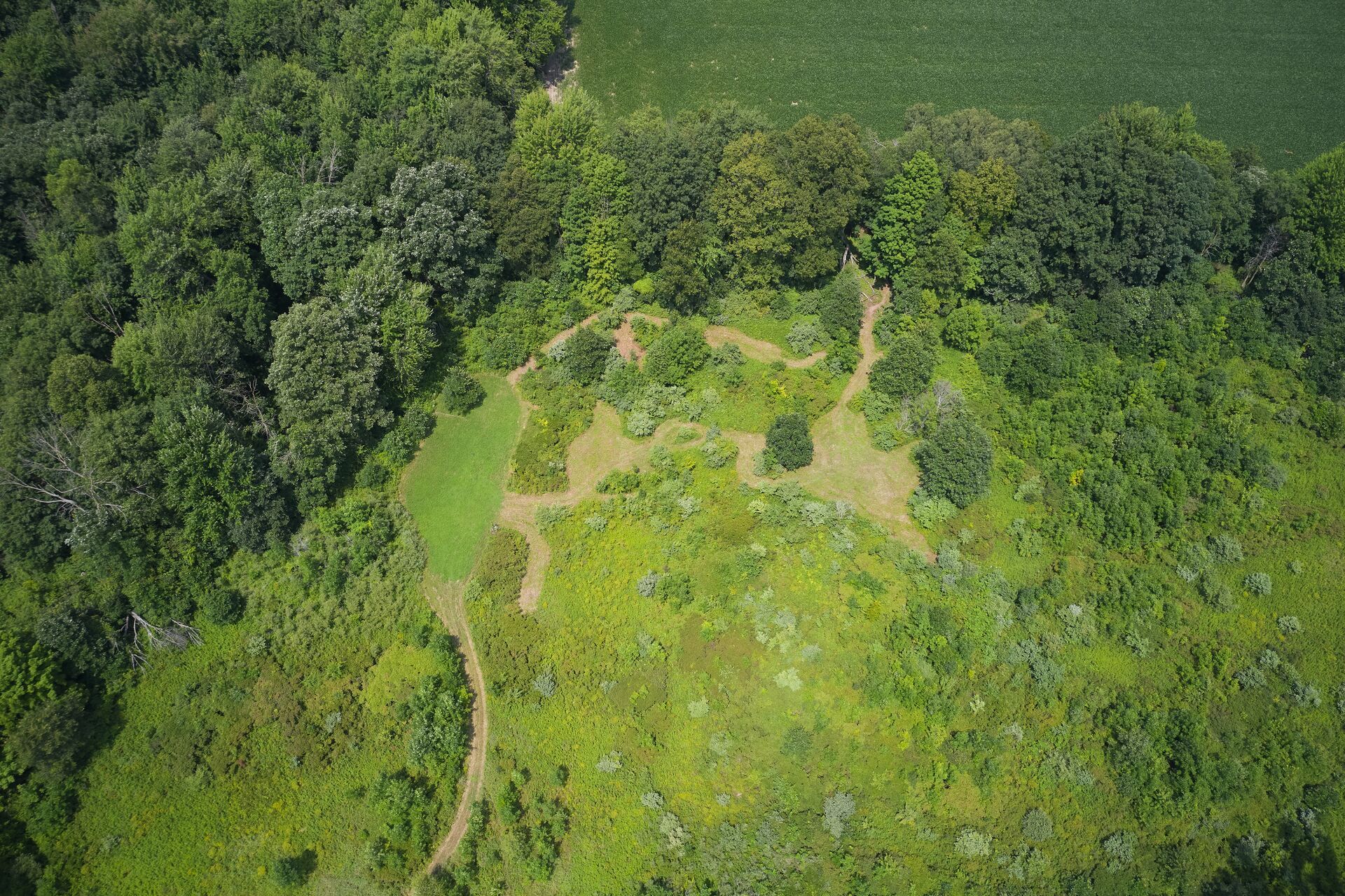
Using topographic hunting maps has become "the" way to think ahead and not only plan your trails and stand or blind placement, it helps hunters cope with the excitement of the fall hunting season when it's not quite time to get out there yet.
Understanding how to use hunting apps to plan a better hunt could be the difference maker you need to tag a buck before another hunter gets to it. With bird's eye aerial views of public or private hunting areas (using your phone), you can pick out bedding areas, pinch points, likely feeding spots, and more — especially if the app you use has a LiDAR mapping layer — so you know exactly where to go for the best chance of bringing home a deer on opening day.
So, how do you use one of these apps to plan your hunt? Let's talk about trails and paths and targeting the areas most likely to deliver a successful day in the field.
Why Use a Hunting App?
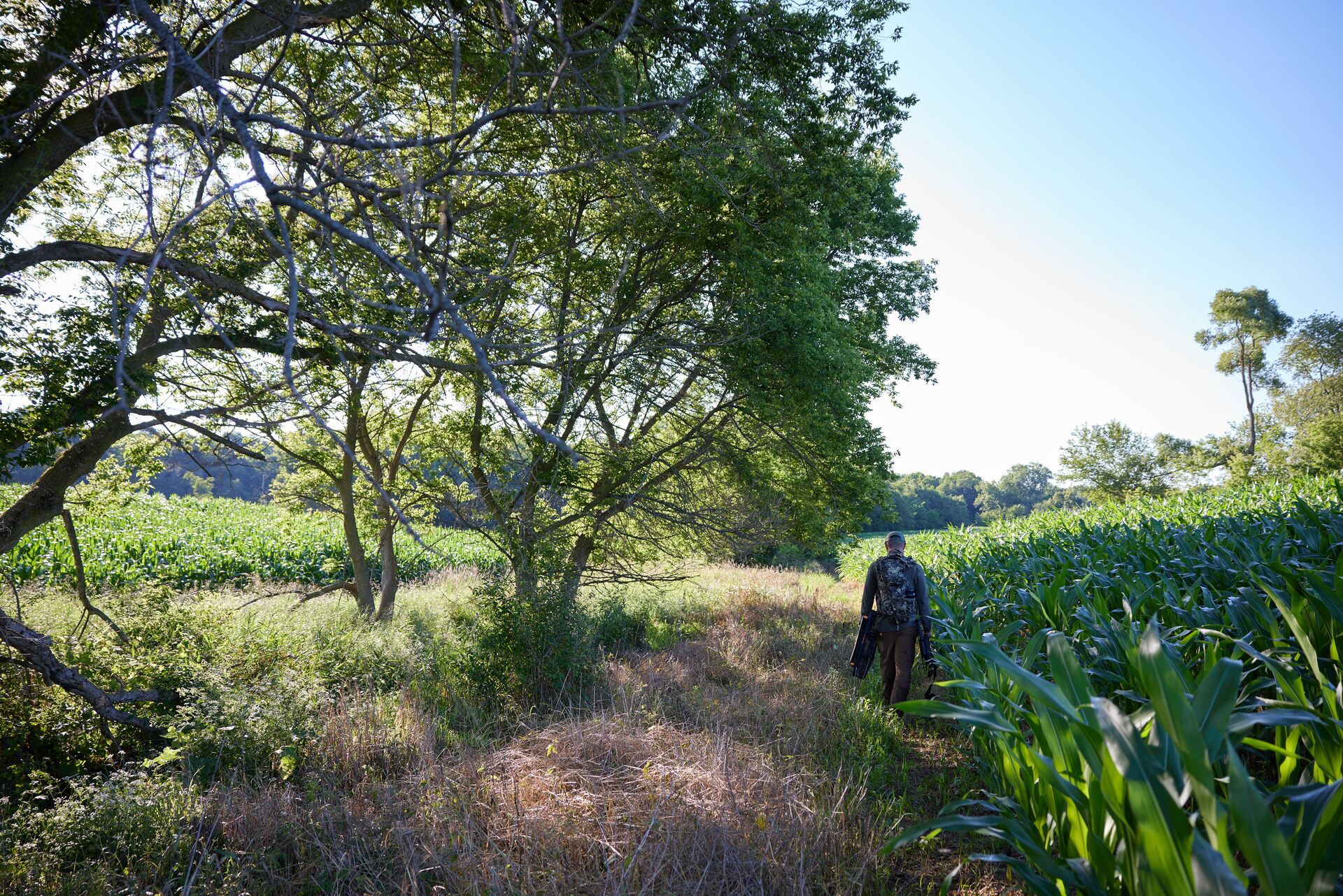
There are plenty of advantages to using a hunting app, primarily the advantage it gives you over other hunters. After all, when hunting public land in particular, sometimes the biggest challenge isn't finding deer — it's finding them in a place where you aren't competing with other hunters for the same big bucks.
You also gain an advantage over the elements. How many times have you planned a hunting weekend or a whole week off from work to get out in the woods and after deer — only to have to call off your hunt because of rain, heavy winds, or even snow that you didn't anticipate?
A hunting app can help you plan around the weather. Even if it rains during your hunting week off from work, a feature like HuntCast in the HuntWise app can help you find those pockets of rain-free time with an hour-by-hour forecast. Use those insights to your advantage to get out before or after a rain burst to find deer coming out of their hiding spots and into your sights.
Mark It
Perhaps one of the best features of an excellent hunting app is the ability to mark what you see while digitally scouting or while physically out in your hunting area.
You don't have to try to remember where you saw that scrape or a potential bedding area. You can mark, label, and add notes about what you find — season after season — to inform your next hunt and pick up where you left off.
The right hunting app becomes your personal field guide to better hunts. The trick is understanding its capabilities and using them effectively.
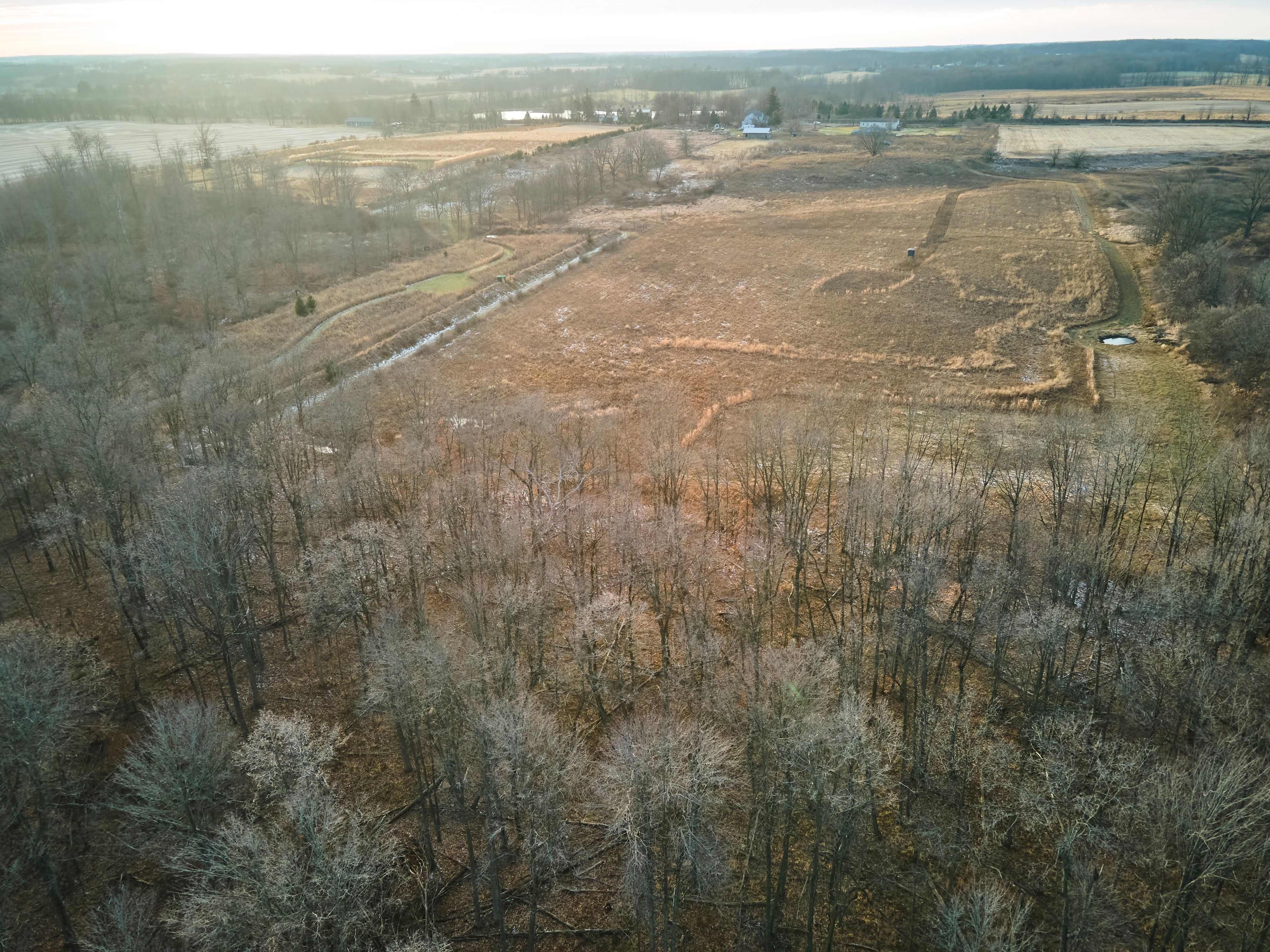
Chart Your Path Into the Known
Many hunters (especially if they've been hunting for a long time . . . before apps or cell phones) started without an in-depth way to learn about a hunting area before arriving on the scene.
Without the technology we have today, short of spreading out a giant paper map on the kitchen table before a hunt and making a general plan for getting into, through, and out of a hunting location, days in the field were as much an exploration adventure as they were a hope that you would also bring home some meat for the freezer.
That's not to say people don't still hunt app-less. However, using an app means every hunt is a path into the known — rather than the "un" known. While there is still plenty to discover when your boots hit the ground, either through pre-season scouting or when it's time to get into the field for your hunt, a mapping app gives you more insights and details about hunting areas to help you experience a more efficient hunt and improve your chances of success.
Topographic Hunting Maps Make Blazing Your Trail Easier
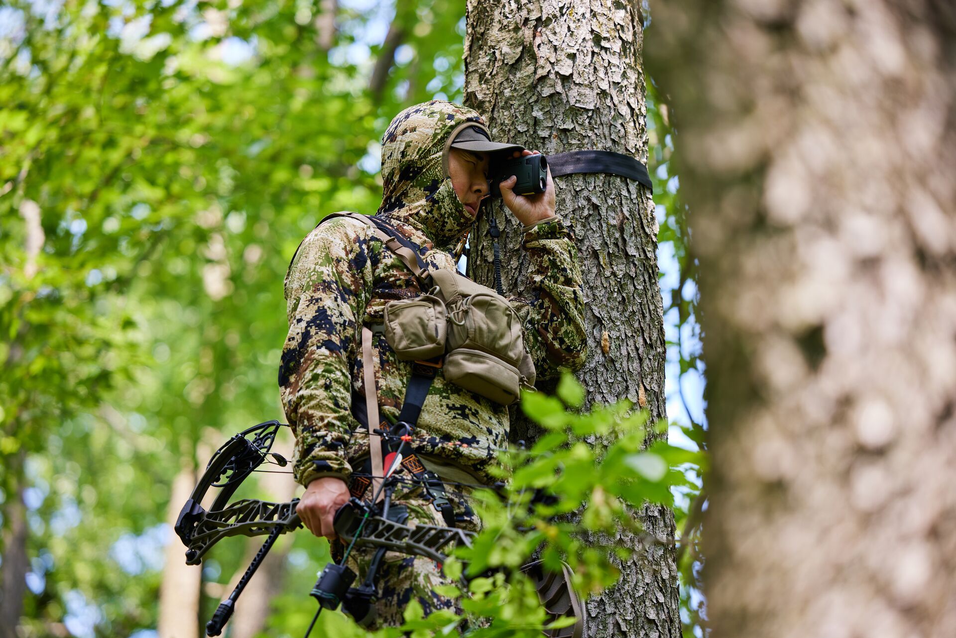
Knowing an area's elevation and terrain before you get there makes easier work of your journey into a prime spot to place your tree stand or hunting blind. Especially if you're planning an out-of-state hunting trip, knowing what you're getting yourself into terrain-wise before you get there helps you pack and prepare accordingly.
You can also mark the paths of most resistance and avoid those areas for an easier (and likely quieter) entry into your hunting zone. Planning your trail using a hunting app can also help keep you safe by helping you avoid a treacherous path that leads to injury because you weren't expecting that cliff to be there.
We're talking about working smarter (not harder) to start and end your day with a buck to bring home.
There's no need to fight through unmanageable terrain to get to a hidden pocket of land where deer hang out if there's an easier way to get there. Using various map layers and 3-D imaging to explore the terrain helps you plot the best hunting path in and out, likely making it easier to pack out that buck you hit as a result of your research and planning.
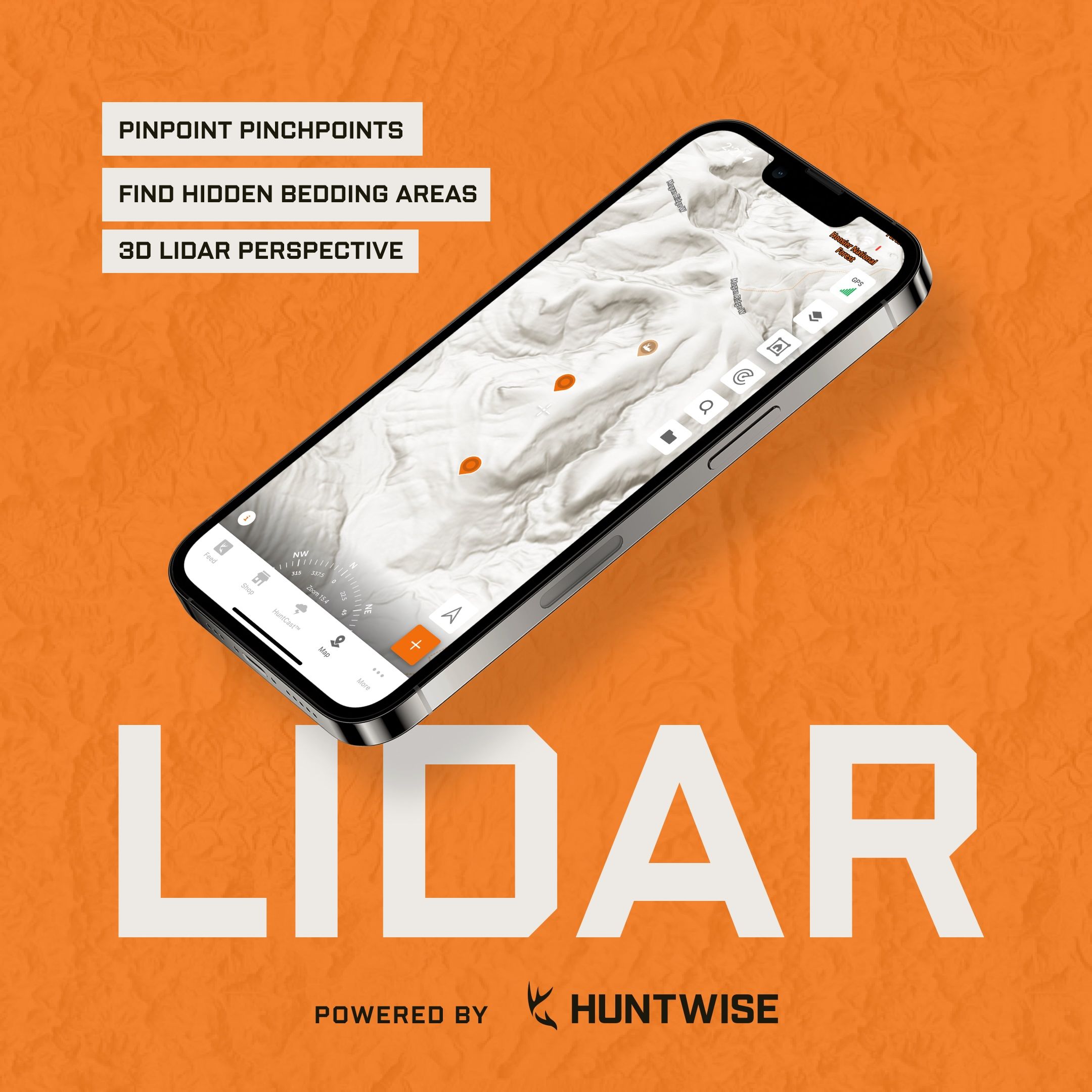
Introducing LiDAR
Since we're talking about the benefits of topographic maps, we'd be remiss if we didn't highlight the significance of LiDAR. It's now available for subscribers in the HuntWise app as a map layer.
We call it Hillshade, and it could be the layer you've been looking for to really identify more details about a potential public hunting spot that could put you where the deer are (and the hunters aren't).
So, what is LiDAR? Technically, it stands for Light Detection And Ranging.
(You can see why it's commonly known as LiDAR. That's a mouthful.)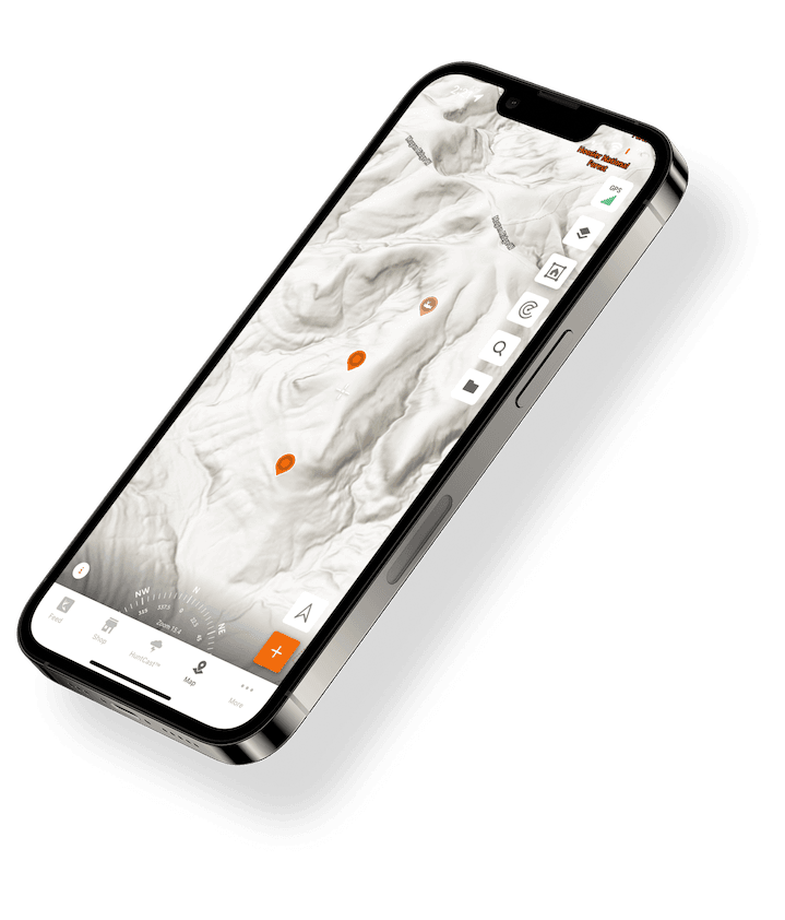
What Does it Look Like?
It's that grayscale mapping imaging that depicts surface elevations without vegetation or other topographic features that can hide some of the smallest (yet most important) terrain details you can use to find the best places to hunt.
When using Hillshade in the HuntWise app, you're getting the most recent data down to one-meter resolution. So when we say "small" details, we mean it!
Why Do I Care About LiDAR?
You may not know what you've been missing in a hunt mapping app if you've never seen LiDAR before. However, once you see what you've been missing, you won't want to hunt without it.
We're talking about more easily identifying pinch points (you know, those prime spots that force animals to travel in a confined area between two important areas), bedding areas, saddle crossings, and more. The elevated terrain perspective using the Hillshade layer in HuntWise makes it easier to see the best path in and out of a hunting area to plan your approach and exit for a more efficient hunt.
Do I Need LiDAR?
We believe every hunter can benefit from LiDAR, whether you're new to hunting and learning about hunt areas and elevations or an experienced hunter looking for that next-level layer to identify bedding swamps and other hard-to-find (yet crucial) spots that can lead you to your best hunting season yet.
It certainly doesn't hurt to explore it, but if your hunting app doesn't have it, you'll want to give HuntWise a try. Hillshade is available even during your free trial (so you have nothing to lose to get into it).
Troy Boehm, one of our HuntWise staff members and an experienced hunter, loves the additional insights he gets from applying Hillshade to his map views.
He says,
"I scouted a transition line that you wouldn't know was a small 6-ft ledge on a regular map layer, but LiDAR showed the drop. It's valuable info when going in to scout and deciding on how to enter or whether to check a transition line or not."
Whether you "need" it or not, we're just glad it's there to help hunters help better!
Plan a Better Hunting Path for a Better Hunt With HuntWise
Your path into a hunting area is a crucial aspect of your hunt, but it's not always a clear way in. Having the insights to avoid danger and save yourself some time and hard work — in the palm of your hand — can help you have a better hunting experience every time you go out this season.
Whether you're reading this ahead of the fall hunting season or any time of year that you hunt other wild game, use HuntWise to plan a better hunting path. Use map layers and markers to plot your journey into private or public hunting areas and set yourself up for being in a prime location to tag out.
Ready to explore Hillshade and our other map layers, or put HuntCast and WindCast to work for you to pick the best day and time for your hunt? We want you to try it free for a week!
Download it today and see what you might have been missing without the ultimate hunting app.
Previous in Hunting Tips
More Content Like This
What is Decoy Hunting? A Guide to Using Decoys
Have you ever been out in the field and wished the animal you were hunting would come closer? Using a decoy might be the answer you are looking for. Read More
Read More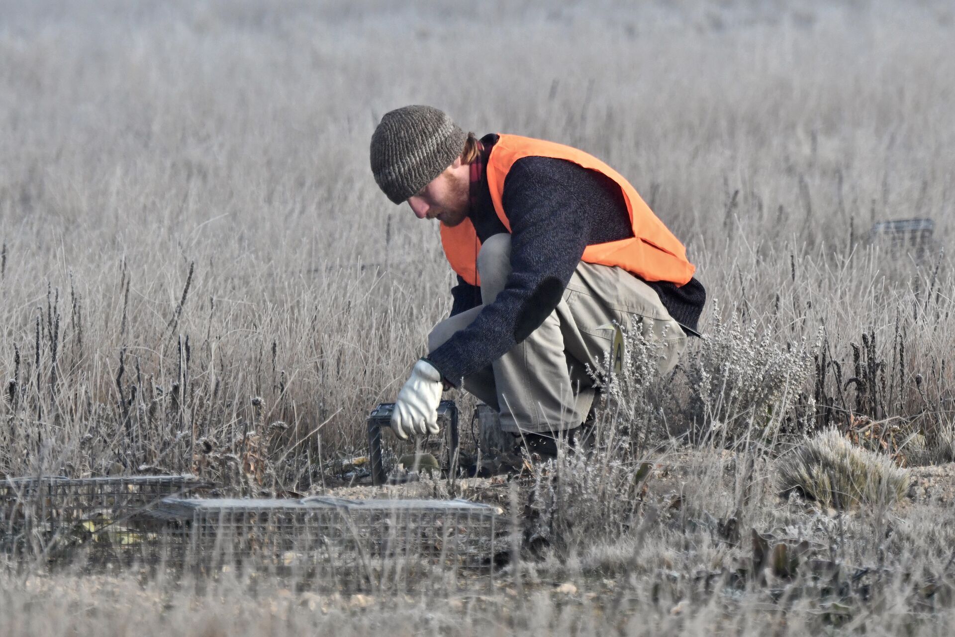
5 Types of Animal Traps (and How to Use Them)
Have you trapped, yet? If you want to expand your hunting toolkit, extend your hunting season, and connect with some lesser-known traditional hunting strategies, consider adding trapping to your hunting roster.Read More
Read More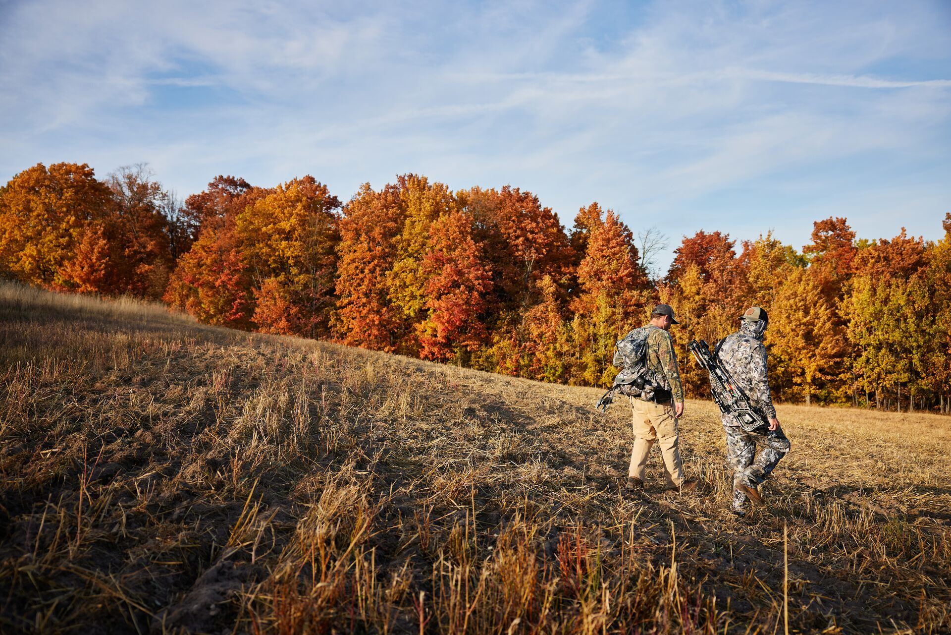
Meet the Team: Your HuntWise Hunting App Field Experts
If you've read many of the Field Guide blogs, you've seen a wide range of names as authors of these blogs. We tap into knowledge from a group of experienced hunters and HuntWise hunting app users known as the Field Team. Read More
Read More- Hunting Tips
What is Decoy Hunting? A Guide to Using Decoys
Have you ever been out in the field and wished the animal you were hunting would come closer? Using a decoy might be the answer you are looking for. Read More
Read More - Hunting Tips
5 Types of Animal Traps (and How to Use Them)
Have you trapped, yet? If you want to expand your hunting toolkit, extend your hunting season, and connect with some lesser-known traditional hunting strategies, consider adding trapping to your hunting roster.Read More
Read More - Hunting Tips
Meet the Team: Your HuntWise Hunting App Field Experts
If you've read many of the Field Guide blogs, you've seen a wide range of names as authors of these blogs. We tap into knowledge from a group of experienced hunters and HuntWise hunting app users known as the Field Team. Read More
Read More
1 of 3