

- Scout digital terrain using satellite and topo maps.
- Verify legal access with the Property Lines layer.
- Check HuntCast Huntability scores for your hunting dates.
- Plan entry routes using WindCast.
- Set stand waypoints and pressure indicators before opening day.
From start to finish, this workflow takes roughly 90 minutes for a new property. Overall, a dedicated app can help you plan your hunt efficiently, showing you upcoming wind and weather conditions, pinpointing the best times to hunt whitetail deer, and more. Follow our guide on how to plan a deer hunt to set yourself up for success in the field.
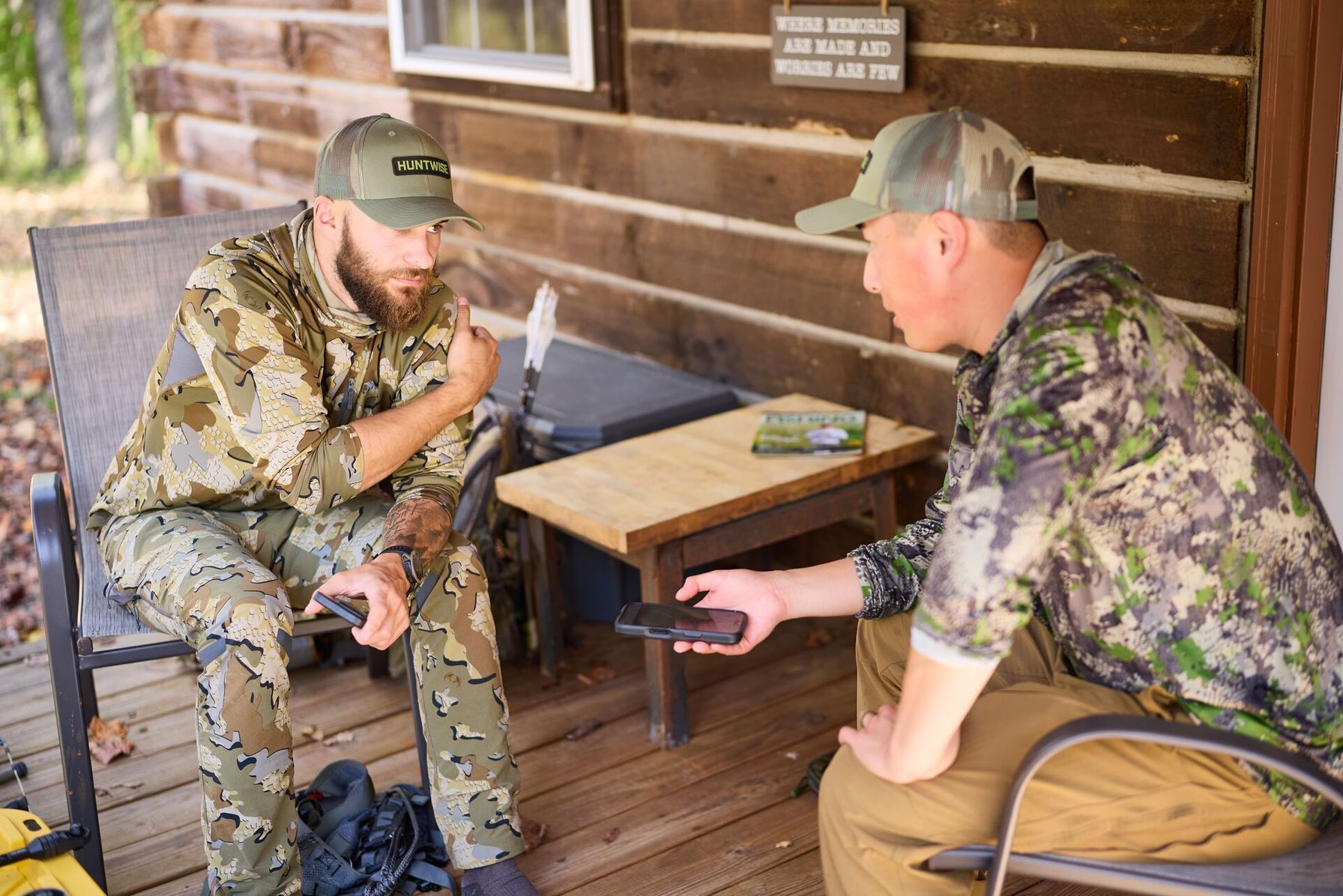
How to Plan a Deer Hunt: The Pre-Hunt Workflow
You’ve purchased a license, requested your time off, and collected your gear. Now, it’s time to plan your deer hunt to ensure you’re going into the right area with the greatest chance of harvesting your game.
1. Digital Scout
Before ever setting foot in the woods, I like to digital scout, especially if I’m hunting deer on public land or a new permission property.
HuntWise makes digital scouting easy with satellite and topographic overlays, which help identify key terrain features such as funnels, ridges, and water sources.
2. Verify Access

As you digital scout, identify the best way in and out so that you don’t blow deer out before you can reach the treestand.
In HuntWise, the Property Lines layer can confirm boundaries, separating public from private ground for a better hunt on public land, and ensure every setup is on land you have legal access to. This is a tool I use regularly.
3. Time the Hunt
As the hunt gets closer, use HuntCast to target the highest-Huntability days. It factors in temperature, wind speed, barometric pressure, and other conditions to show the dates with better odds. Life gets in the way, but when I have flexibility, I use this feature to help choose my hunt days.
4. Wind Plan
After identifying terrain features and access points, check the prevailing wind before choosing stand locations. Hunting around the weather, particularly wind, can make a massive difference to your hunt.
Whether you’re doing a hang-and-hunt or setting stands on leased ground, WindCast shows the wind direction at each stand and provides a clear indication of where your scent will be carried throughout the day.
5. Set Waypoints
I’ve already talked about finding funnels and setting tree stands, but once you decide on a game plan, you need to set waypoints on your map feature inside HuntWise.
Marking water sources, pinch points, funnels, and good access can help you paint a picture of potential deer movement and give a little extra insight into what might be the optimal stand location.
6. Pre-season Visit
After completing all this digital hunt scouting and drawing yourself a map of potential deer movement, it’s always good to walk the ground on foot before the season begins to confirm what the images on your phone showed you.
Plus, seeing the ground with your own eyes can give you a sense of familiarity and maybe some additional insight. You can confirm deer movement by locating trails where you think they might be or finding thickets that could serve as bedding grounds that weren’t visible with just digital scouting.
Planning a Deer Hunt: The Pre-Hunt Workflow | |||
|---|---|---|---|
| Stage | What to Do | HuntWise Feature to Use | Time to Spend |
| Digital scout | Identify terrain features (funnels, ridges, water) | Satellite + topo overlay | 30 mins |
| Verify access | Confirm property lines, public vs private | Property Lines layer | 10 mins |
| Time the hunt | Pick highest-Huntability days for your dates | HuntCast | 5 mins |
| Plan Around the Wind | Pick stand sites by prevailing wind | WindCast | 15 mins |
| Set waypoints | Mark stands, entries, parking, pinch points | Maps and Pins/Markers | 20 mins |
| Pre-season visit | Walk your hunt area at least once to confirm digital scout | All layers in-field | 2–4 hrs |
Plan a Deer Hunt Using HuntWise: How-to Steps
Next, we’ll go over how to plan a deer hunt with HuntWise. To start using it, download the app on your phone or visit the website. HuntWise’s tiered approach allows users to access its suite of tools for free before upgrading.
- Open the app and navigate to the Map tab. Find the area or property you plan to hunt and create a new Hunt Area by hitting the “+” sign in the bottom-right corner of the map screen. Once the hunt area is created, you can turn on the satellite and topography hybrid view using the second button from the top on the right-hand side of the screen.
- With this layer showing over the map, identify three to five possible stand locations based on the funnels, food and water sources, and other terrain features.
- With those stand locations in mind, toggle the Property Lines Layer to "on" with the third button from the top on the right side of the screen. The button should have a little house surrounded by a square. This can confirm that all locations are on the property you have legal access to hunt.
- Identify potential stand locations based on the information you’ve gathered. To mark a stand location, select the “+” sign in the bottom-right corner and “Add a Marker.” Set a marker for a tree stand and name it whatever you want, like “Waterhole Stand.”
- Next, open HuntCast to see the Huntability scores on your field days. You may need to repeat this step a few days before the potential hunt. If you have the flexibility to pick which days you’re going to hunt, aim for days with scores 70% or higher. To open HuntCast, navigate to the center button on the bottom ribbon on the screen.
- Next, open WindCast for wind directions for each of the tree stand markers you created. You can even rank them based on the ideal winds for each stand. To open WindCast, select the “More” button in the middle-right of the screen and then scroll down.
- Finally, I recommend downloading offline maps for the hunt area so that you always have them on your phone. Not having maps can be a major setback if cell service drops while you’re navigating to the stand location, or if you're hunting on public land and unfamiliar with the property lines.
I’ve talked about it before, but this is a good place to bring it up again: HuntWise is a great tool to have on hand. It can help increase your chances of harvesting an animal that you’re happy with.
However, if you can, nothing beats walking the woods in boots and seeing where the deer live, eat, drink, and sleep. This is the greatest advantage we have: intuition and experience-driven reasoning to find the best ambush spot and get inside the mind of that trophy buck everybody is after.
Use HuntWise to Plan Your Next Deer Hunt
Deer hunt planning starts now! Digital scouting, assessing wind conditions, and marking stands can give you an advantage out in the field. And preparation beyond licensing and travel means you’re less at risk of losing hard-earned time and resources to a hunt with no harvest.
Use the insights above to plan better hunts this season with HuntWise. Don’t have it yet? Download HuntWise for free and try Pro and Elite features for free during your first week in the app to plan your deer hunt.
Frequently Asked Questions (FAQs)
Q: Do I need the paid HuntWise tier to plan a hunt this way?
A: No. You can begin planning a hunt with HuntWise's free features, including creating Hunt Areas and exploring maps. Some tools used in this workflow, such as HuntCast, WindCast, and additional map layers, are available with Pro or Elite subscriptions, so your planning options will depend on the features included in your account.
Q: How early should I start planning a deer hunt?
A: It's a good idea to begin planning several weeks before opening day. Early planning gives you time to digital scout, identify access points, choose potential stand locations, and schedule an in-person visit before the season begins.
Q: What if my hunting area has no cell service?
A: Download offline maps before your trip so you can continue using your maps and navigation without a cellular connection. Having offline access makes it easier to find stand locations, property boundaries, and routes once you're in the field.
Q: Should I scout a property in person before opening day?
A: Yes. Digital scouting can help narrow down promising locations, but an in-person visit lets you confirm trails, bedding cover, food sources, and access routes. Combining both approaches helps you make more informed decisions before the season starts.
Q: How does this workflow change for public land?
A: The overall process stays the same, but public land requires extra attention to legal access, parking areas, property boundaries, and entry routes. Planning for hunting pressure and identifying multiple backup stand locations can also help if your first choice is occupied.
Q: How does this workflow change for out-of-state hunts?
A: For out-of-state hunts, start planning earlier to allow time for travel logistics, licensing requirements, and researching unfamiliar terrain. Digital scouting becomes even more valuable when you can't visit the property before your hunt, but it's still worth making an in-person scouting trip if your schedule allows.


