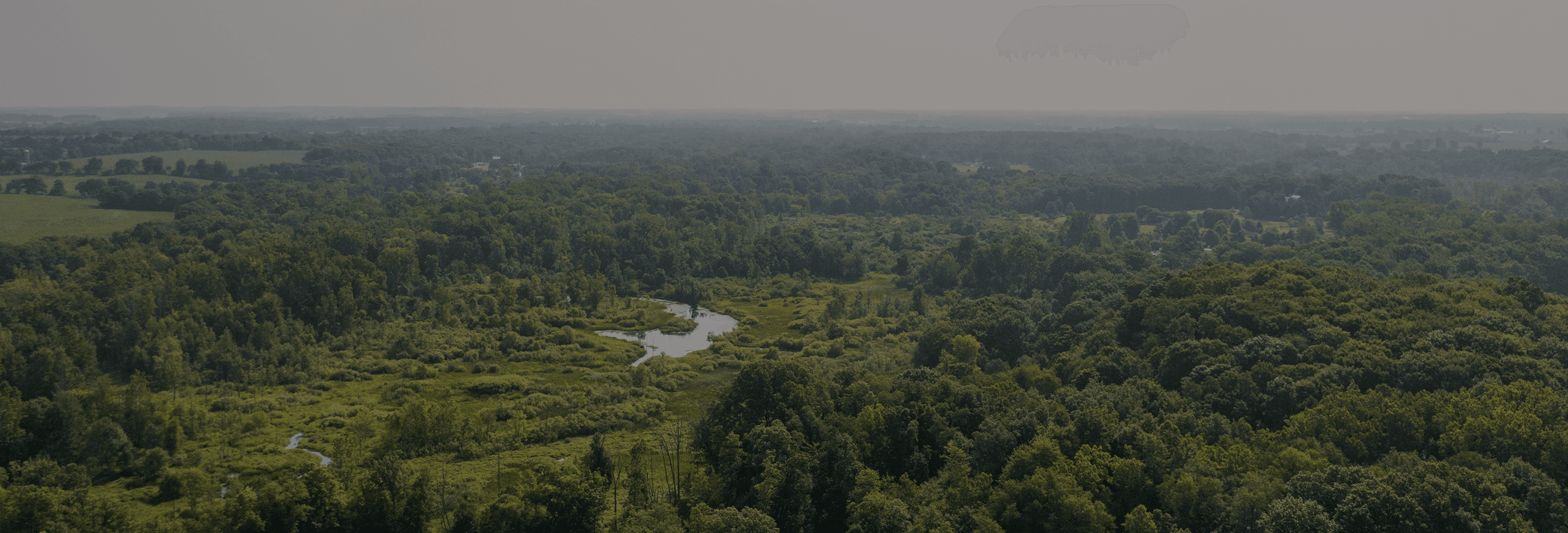
Uncover New Hunting Land
Discover thousands of acres of public and private land across all 50 states. Try HuntWise free and start scouting smarter today.
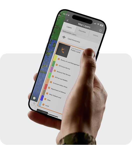
Scout Public Land with Precision
Instantly see legal hunting areas and boundaries. With over 650 map layers, HuntWise shows exactly what you’re looking for.
How to Strategize your Hunt
- Pick layers to view public and private land boundaries
- Create custom shapes to mark hunt zones
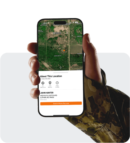
- Build out each hunting area with custom pins
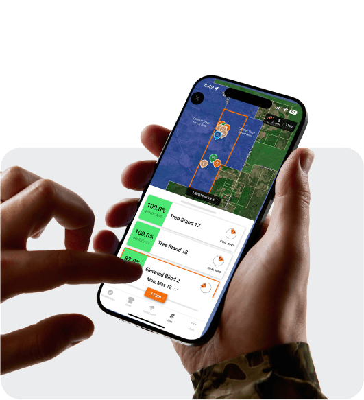
- Overlay weather, wind, and game movement data for deeper insight
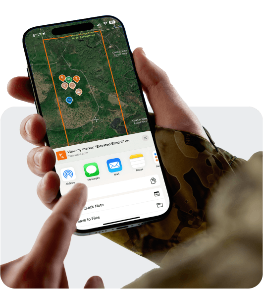
Mark it. Share it.
Found a prime spot? Share hunt pins with family and friends right from the app.
Tools Built for Hunters Like You
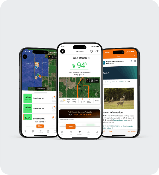
 HuntCast™ – Plan your hunts around animal movement and peak activity.WindCast™ – See which stands are ideal based on current wind conditions. Field Insights – Knowledge you need most like state requirements and license regulations.
Trusted by Thousands of Fellow Hunters
HuntWise Mapping Features
| Features | Basic | Pro | Elite |
|---|---|---|---|
| Create Hunt Areas | x | x | x |
| Share Hunt Areas and Pins with Members | x | x | x |
| Public land layers for all 50 States | x | x | x |
| 600+ National Map Layers | x | x | |
| Owner Information + Phone Lookup | x | x | |
| 3D Mapping | x | x |

Level up your hunts with HuntWise.
Redeem your free 7-day trial today